
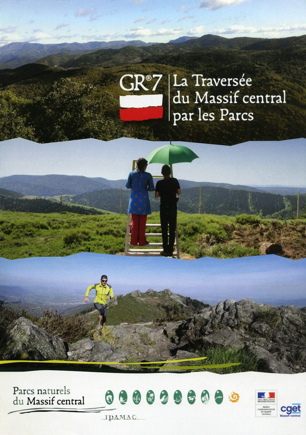
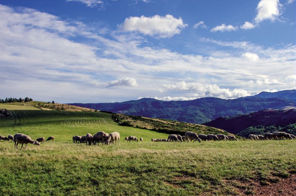
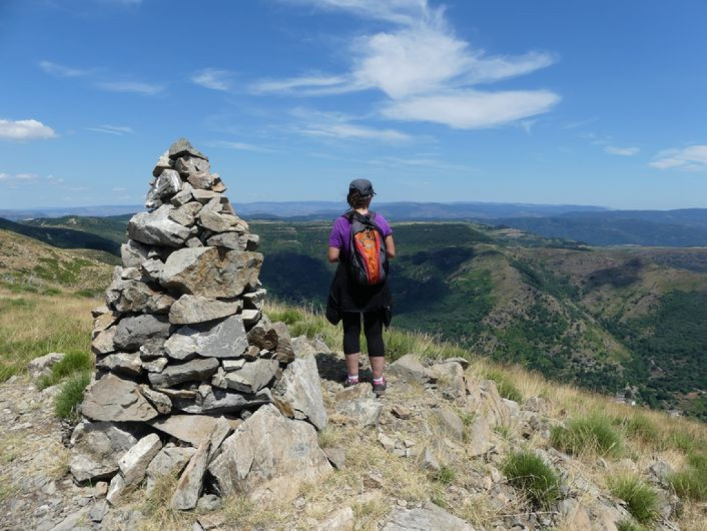
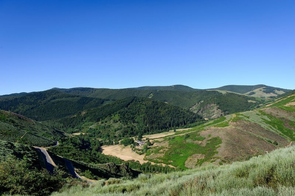
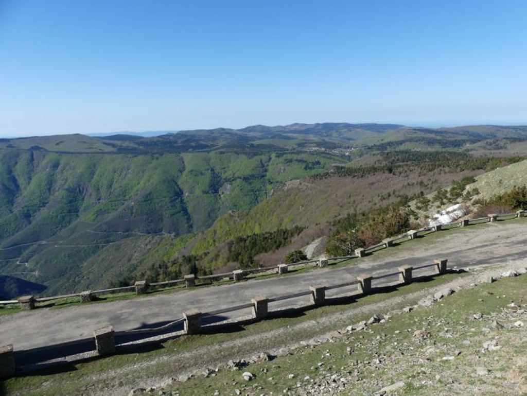
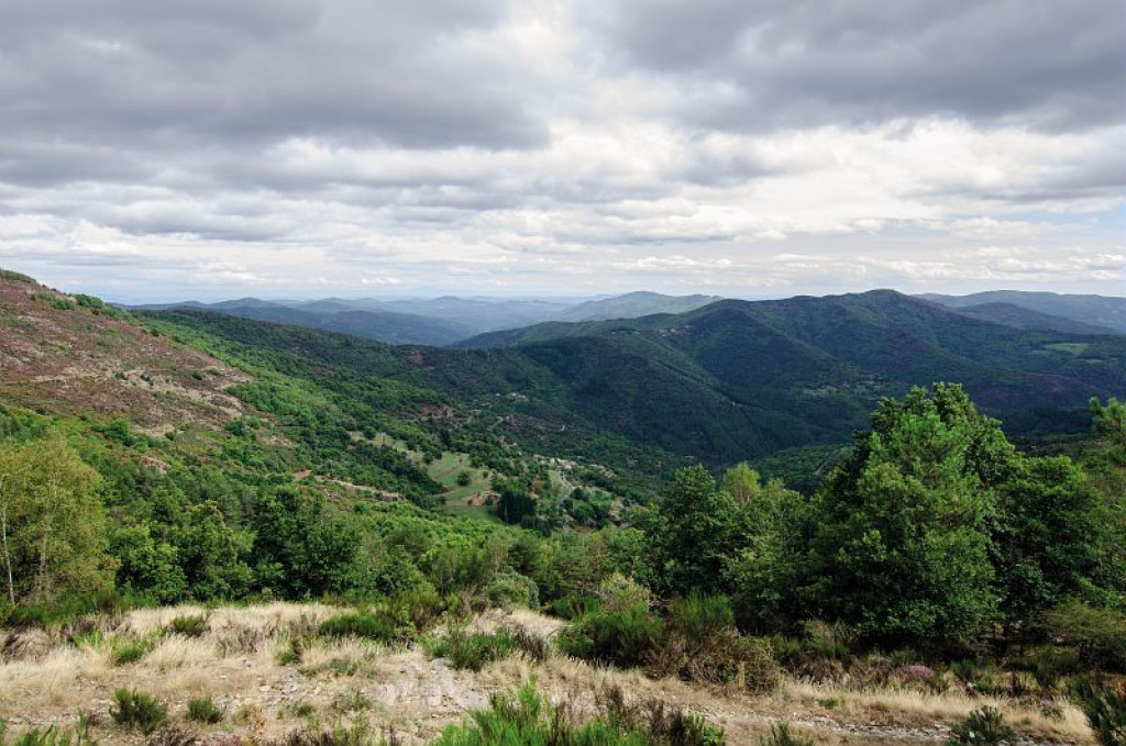
The GR® 7 ridge route is 475 km long! It crosses five Regional Nature Reserves and one National Park, offering hikers and trail runners a wide range of scenery and cultural heritage.
This long-distance trail takes you on a journey from the Vosges to the Pyrenees. It roughly follows the watershed: on one side are the waterways that converge towards the Mediterranean; on the other, those that flow into the English Channel and Atlantic. The route crosses highly characteristic sites. Starting at the Ballons d’Alsace passes, it traverses the Regional Nature Reserve of the Ballons des Vosges. It then briefly veers into the Haute-Marne department before crisscrossing Burgundy, leading from Dijon to the uplands of the Auvergne-Rhône-Alpes and Occitanie regions. Passing through three Regional Nature Reserves (Pilat, Monts d’Ardèche, Haut-Languedoc) and the Cévennes National Park, it ends in Andorra via the Pyrénées Catalanes Regional Nature Reserve and Cathar country.

- Distance 138.91 km
- Elevation gain 3800 m
- Elevation lost 4600 m
- Min. elevation 225 m
- Max. elevation. 1568 m
- Duration (depending on pace) 168h
- Suivre le balisage Yes

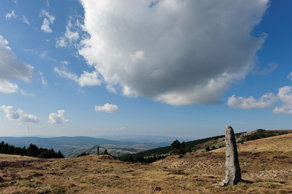
Only the section of this GR® [long-distance hiking path] which crosses the territory of the Cévennes National Park, between Bastide-Puylaurent and Le Vigan, is described here. It takes a week to hike.
All information on the whole route can be found on the site monGR.fr of the French hikers’ federation, the Fédération française de la randonnée pédestre.
Parking : La Bastide Puylaurent
Get all the routes on your smartphone with the Lozère outdoor app. You'll find all outdoor activities (summer and winter seasons) and a host of functions :
- Take advantage of detailed IGN maps
- Download data for consultation even when you're not connected to the network
- Geolocate yourself at any time on the route and altimeter profile
- Activate the off-track alarm to be alerted if you stray from the itinerary
- Share your experience (add a report, share your lap time)...


the digital trails


![]()
The Lozère Outdoor application was created
by the Lozère Department
Infos & contacts
Conseil départemental de la Lozère
sportsnature@lozere.fr
+33(0)4 66 49 66 32
Crédits photos
 Lozère Outdoor - Parcours - GR®7
Lozère Outdoor - Parcours - GR®7
Lozère Outdoor - Parcours - GR®7
Lozère Outdoor - Parcours - GR®7
Lozère Outdoor - Parcours - GR®7

