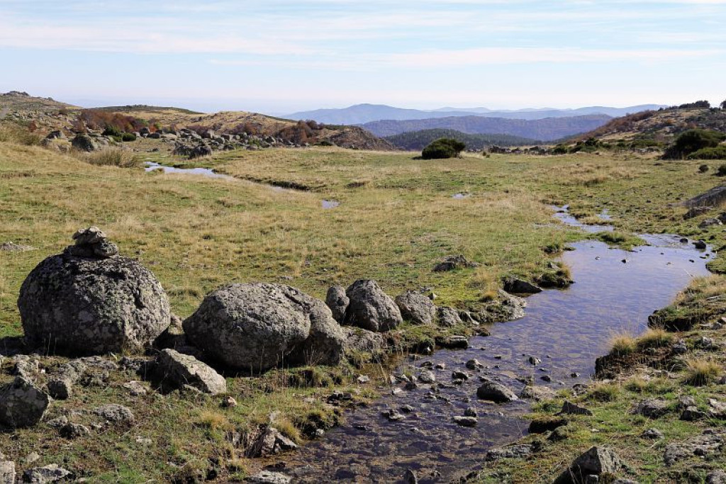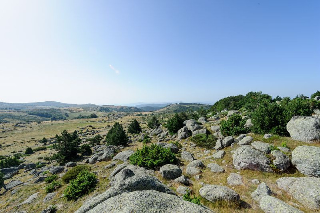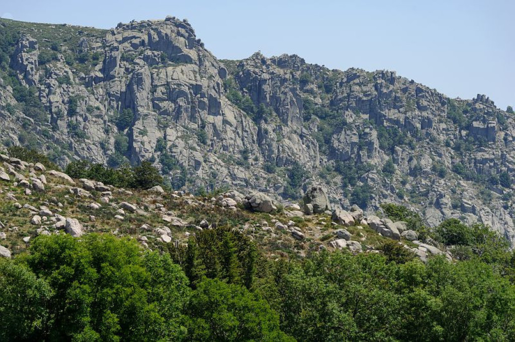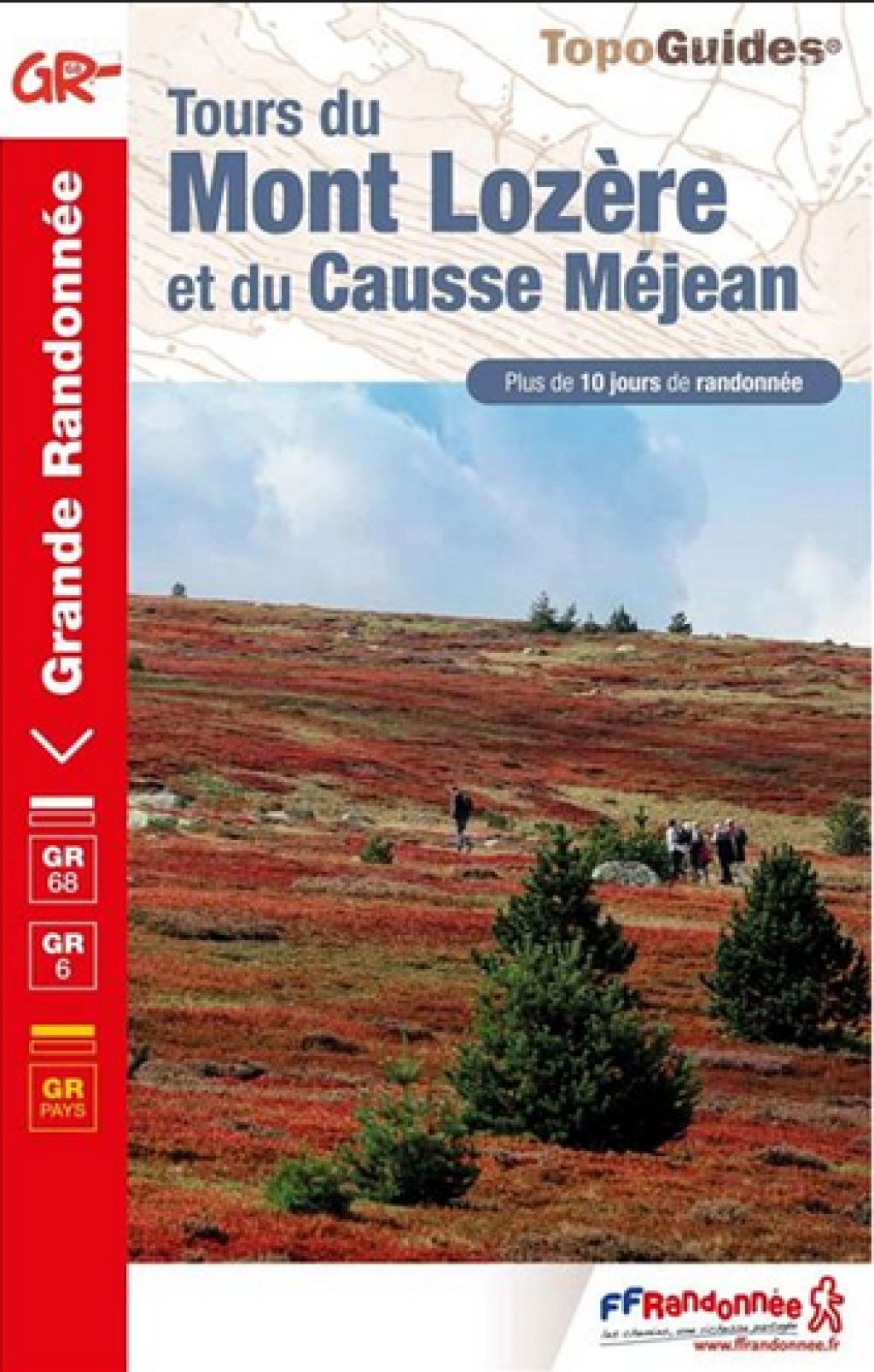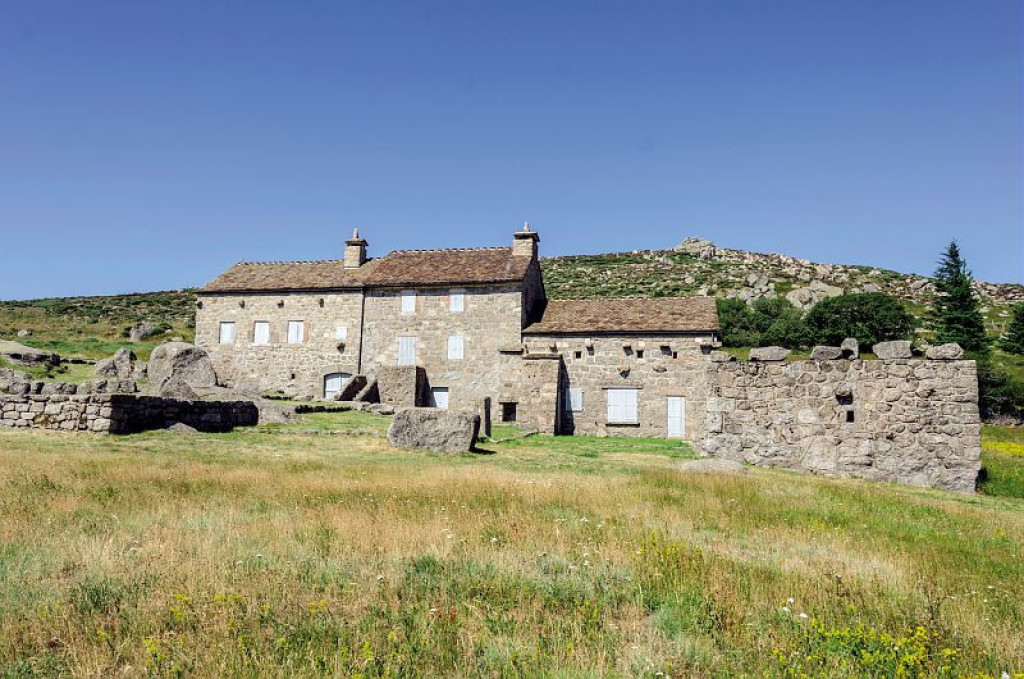
115 km and 6 days of hiking to discover the granite block fields, inhabitants and shepherds of Mont Lozère.
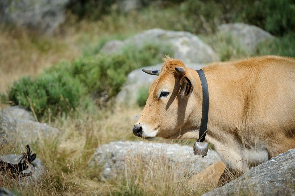
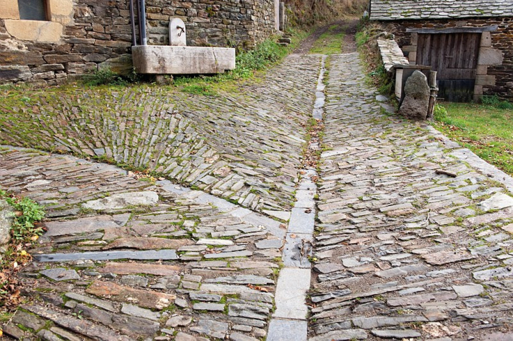
Whether with family or friends or on your own, discover the scenery of Mont Lozère. Amidst contrasting landscapes, this path reveals many elements of agropastoralism: drovers’ roads, terraced cropland, farms, open areas, itinerant shepherds, sheep… You will be hiking on old mule tracks, now disused in favour of more comfortable routes, passing belltowers, which bear witness to a time when the rude winters cut off villages from all outside contact. This is a solitary country of heath and granite, but also an authentic one, where a welcome always awaits you.

- Distance 116 km
- Elevation gain 4020 m
- Elevation lost 4020 m
- Min. elevation 537 m
- Max. elevation. 1453 m
- Duration (depending on pace) 144h
- Suivre le balisage Yes

All information on the whole route can be found on the site monGR.fr of the French hikers’ federation, the Fédération française de la randonnée pédestre. Map ref. IGN 2739 OT.
Parking : Villefort
Get all the routes on your smartphone with the Lozère outdoor app. You'll find all outdoor activities (summer and winter seasons) and a host of functions :
- Take advantage of detailed IGN maps
- Download data for consultation even when you're not connected to the network
- Geolocate yourself at any time on the route and altimeter profile
- Activate the off-track alarm to be alerted if you stray from the itinerary
- Share your experience (add a report, share your lap time)...




the digital trails


The Lozère Outdoor application was created
by the Lozère Department
Infos & contacts
Conseil départemental de la Lozère
sportsnature@lozere.fr
+33(0)4 66 49 66 32
Crédits photos
 Lozère Outdoor - Parcours - GR® 68, the Mont Lozère circuit
Lozère Outdoor - Parcours - GR® 68, the Mont Lozère circuit
Lozère Outdoor - Parcours - GR® 68, the Mont Lozère circuit
Lozère Outdoor - Parcours - GR® 68, the Mont Lozère circuit
Lozère Outdoor - Parcours - GR® 68, the Mont Lozère circuit