Vallée du Lot - VTT N°4
Add to my favorites

Route opened
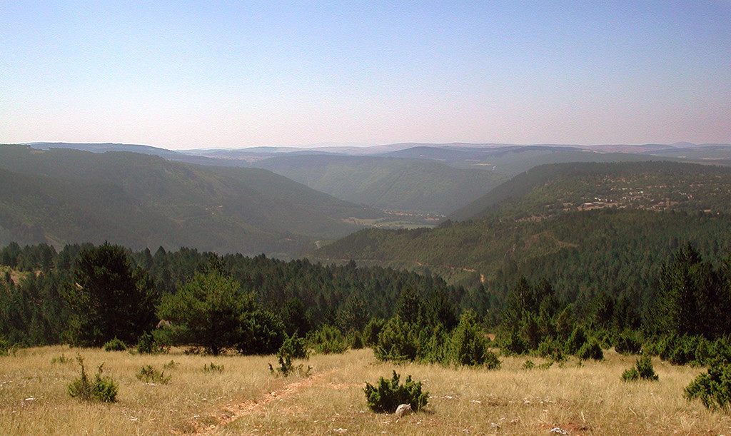
Randonnée sportive difficile qui emprunte la vallée du Lot pour faire le tour du Causse de Changefège.
Espace VTT - FFC Mende
Randonnée sportive difficile
The characteristics of the route.

Parking du complexe sportif Jean-Jacques Delmas (48)
- Distance 26.42 km
- Elevation gain 570 m
- Elevation lost 570 m
- Min. elevation 660 m
- Max. elevation. 897 m
- Duration (depending on pace) 3h15
- Suivre le balisage Yes

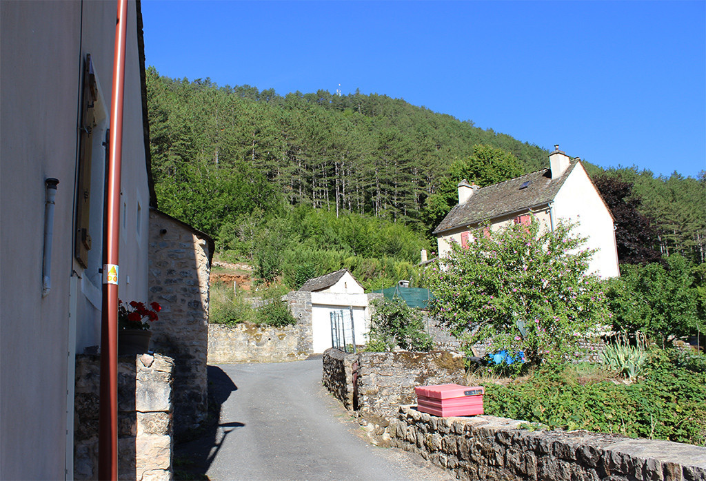
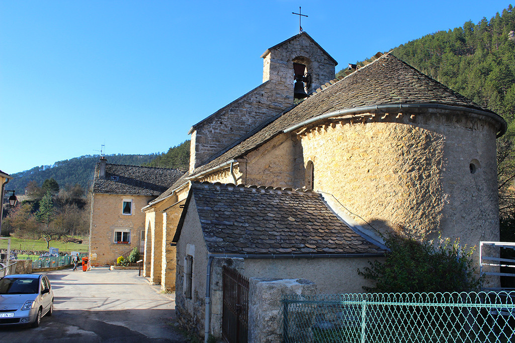
Le circuit fait le tour du Causse de Changefège en passant par Les Fonts, Balsièges, Bramonas, Barjac puis le versant exposé au Nord du Causse de Changefège pour finir par une descente en fin de circuit.
La section entre Bramonas et Barjac emprunte une portion de la RN88 (2,3 km) - SOYEZ PRUDENT !
Parking : Parking du complexe sportif Jean-Jacques Delmas
La section entre Bramonas et Barjac emprunte une portion de la RN88 (2,3 km) - SOYEZ PRUDENT !
Parking : Parking du complexe sportif Jean-Jacques Delmas
Area : Vallée du Lot
Report a problem
Pdf file THIS ROUTE IN YOUR MOBILE PHONE
Download Lozère Outdoor app
Get all the routes on your smartphone with the Lozère outdoor app. You'll find all outdoor activities (summer and winter seasons) and a host of functions :
- Take advantage of detailed IGN maps
- Download data for consultation even when you're not connected to the network
- Geolocate yourself at any time on the route and altimeter profile
- Activate the off-track alarm to be alerted if you stray from the itinerary
- Share your experience (add a report, share your lap time)...

Add your time and share your feelings


Follow us on
the digital trails
the digital trails


![]()
The Lozère Outdoor application was created
by the Lozère Department
Infos & contacts
Conseil départemental de la Lozère
sportsnature@lozere.fr
+33(0)4 66 49 66 32
Crédits photos
 Lozère Outdoor - Parcours - Vallée du Lot - VTT N°4
Hello, world! This is a toast message.
Lozère Outdoor - Parcours - Vallée du Lot - VTT N°4
Hello, world! This is a toast message.
Lozère Outdoor - Parcours - Vallée du Lot - VTT N°4
Hello, world! This is a toast message.


OK
Annuler