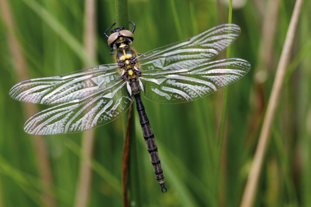
Anglers and hikers – would you like an hour or two of tranquillity in an exceptional natural landscape? Make an appointment with biodiversity !
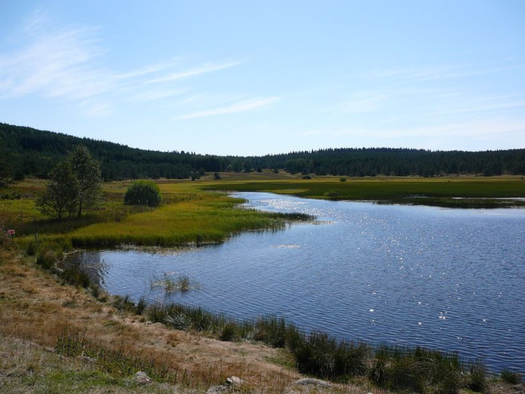
Nestling at the foot of Mont Lozère, Lake Barrandon and its surroundings offer a mosaic of natural environments, from the very dry (on the steep slopes) to the wetter (by the crystal-clear waters). Leave the fishing zone to meander gently through the tranquil landscape around this timeless peat lake.

- Distance 1.9 km
- Elevation gain 30 m
- Elevation lost 30 m
- Min. elevation 1373 m
- Max. elevation. 1387 m
- Duration (depending on pace) 1h30
- Marking No
From the path’s first post in the car park, follow the first section back up the track so as not to miss out on the viewpoint over the lake. The path then goes downhill and around the lake. From the sign “source cristalline [crystal-clear spring]” onwards, the path is dotted with markers. Remember you are responsible for the tranquillity of the site and its inhabitants.
Parking : Car park by the lake
Get all the routes on your smartphone with the Lozère outdoor app. You'll find all outdoor activities (summer and winter seasons) and a host of functions :
- Take advantage of detailed IGN maps
- Download data for consultation even when you're not connected to the network
- Geolocate yourself at any time on the route and altimeter profile
- Activate the off-track alarm to be alerted if you stray from the itinerary
- Share your experience (add a report, share your lap time)...




the digital trails


The Lozère Outdoor application was created
by the Lozère Department
Infos & contacts
Conseil départemental de la Lozère
sportsnature@lozere.fr
+33(0)4 66 49 66 32
Crédits photos
 Lozère Outdoor - Parcours - Around Lake Barrandon
Lozère Outdoor - Parcours - Around Lake Barrandon
Lozère Outdoor - Parcours - Around Lake Barrandon
Lozère Outdoor - Parcours - Around Lake Barrandon
Lozère Outdoor - Parcours - Around Lake Barrandon