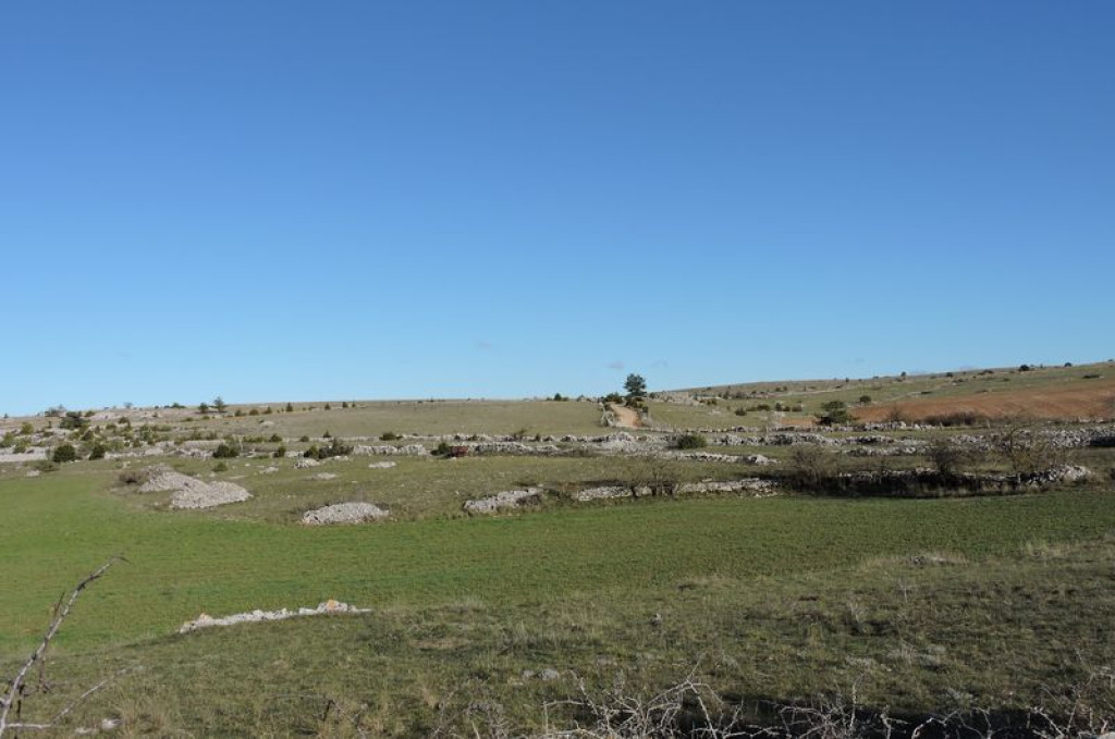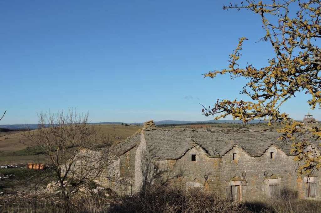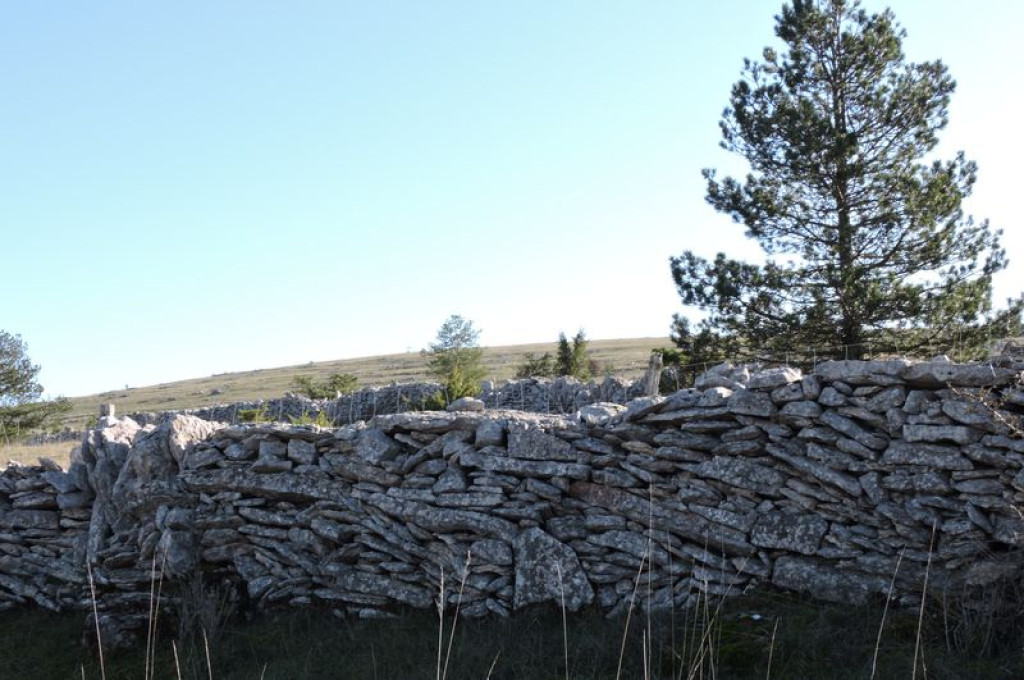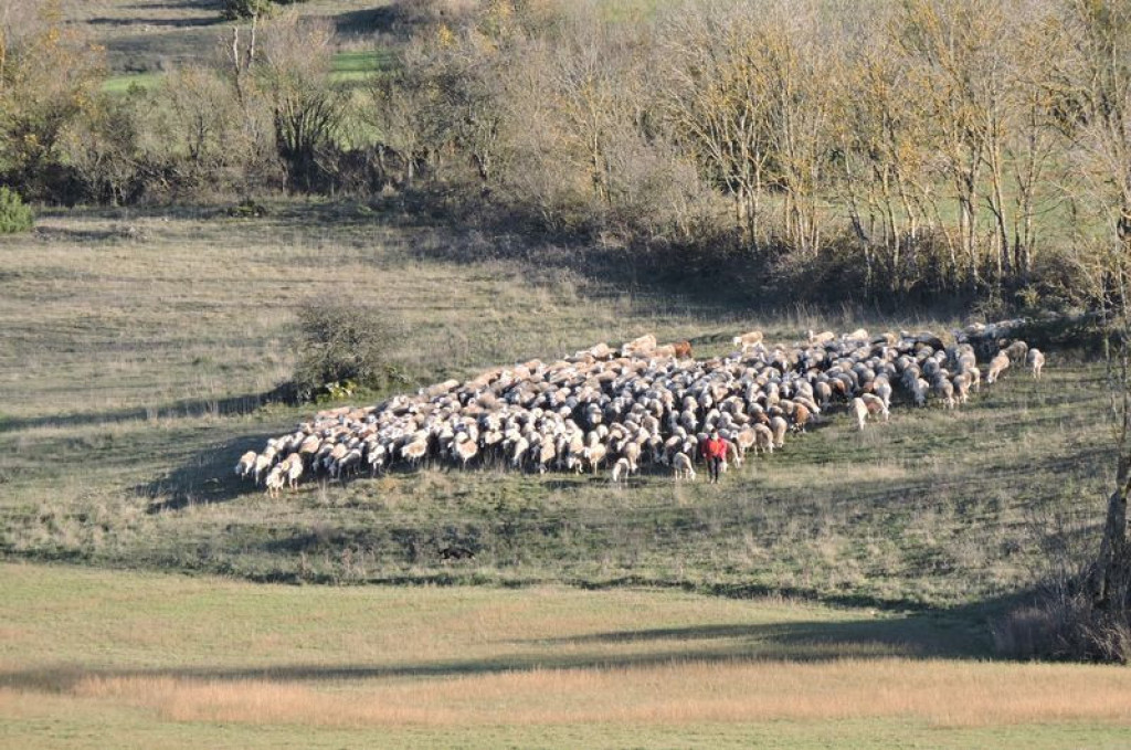
Here, humans have made tracks for millennia. Enjoy the tranquillity of the Causse de Sauveterre on this short walk between the low walls bordering the paths and the treeless expanses.
Une vraie découverte cette petite balade sur le causse de Sauveterre. Un sentiment paisible devant les étendues nues de cette partie du plateau et les nombreux murets qui bordent les sentiers.

- Distance 3.91 km
- Elevation gain 60 m
- Elevation lost 60 m
- Min. elevation 984 m
- Max. elevation. 1037 m
- Duration (depending on pace) 1h30
- Suivre le balisage Yes

Starting on the village’s main square (bread oven), pass to the left of the bread oven and take the road that runs in front of the cross and below the farm buildings.
- Leave the road and take the path on your left for 1.2 km.
- Turn left onto the path that goes downhill and around the depression (sinkhole).
- As you arrive at the tarred surface, take the road on your left that goes up into the village and back to your starting-point.
Parking : Large car park on the village square.
Get all the routes on your smartphone with the Lozère outdoor app. You'll find all outdoor activities (summer and winter seasons) and a host of functions :
- Take advantage of detailed IGN maps
- Download data for consultation even when you're not connected to the network
- Geolocate yourself at any time on the route and altimeter profile
- Activate the off-track alarm to be alerted if you stray from the itinerary
- Share your experience (add a report, share your lap time)...




the digital trails


The Lozère Outdoor application was created
by the Lozère Department
Infos & contacts
Conseil départemental de la Lozère
sportsnature@lozere.fr
+33(0)4 66 49 66 32
Crédits photos
 Lozère Outdoor - Parcours - Sauveterre
Lozère Outdoor - Parcours - Sauveterre
Lozère Outdoor - Parcours - Sauveterre
Lozère Outdoor - Parcours - Sauveterre
Lozère Outdoor - Parcours - Sauveterre