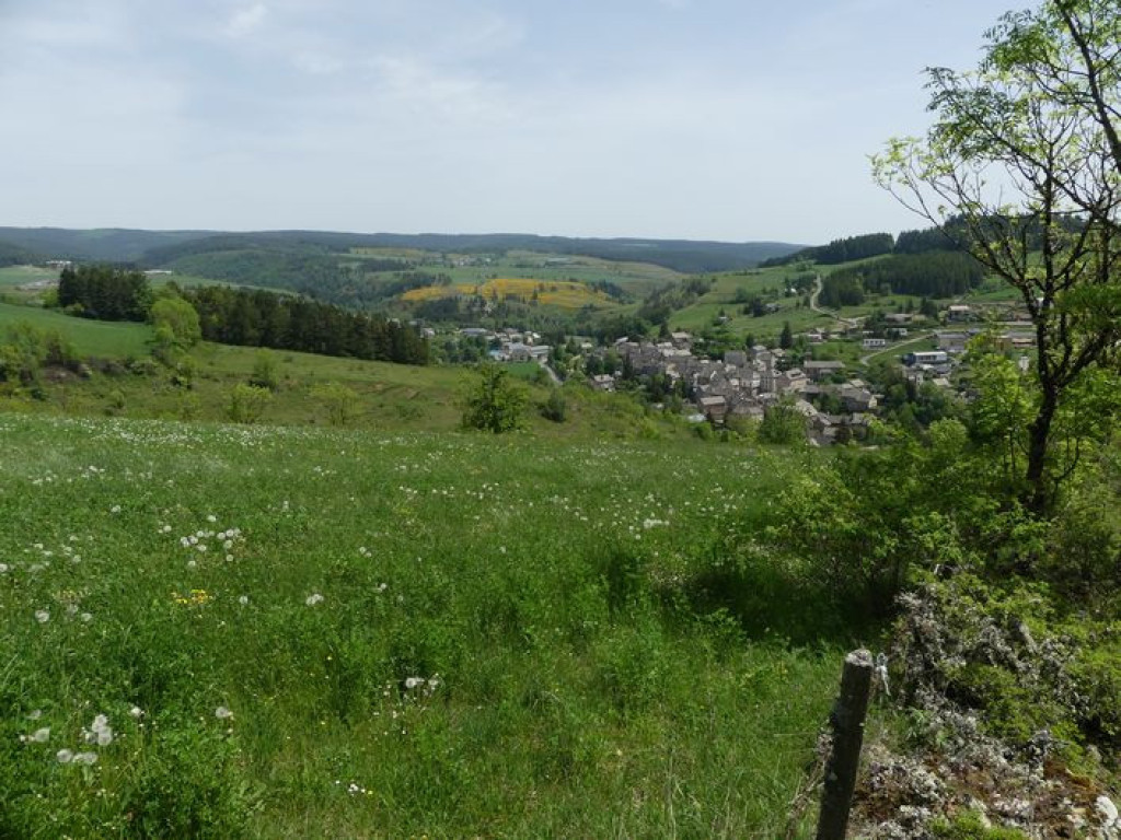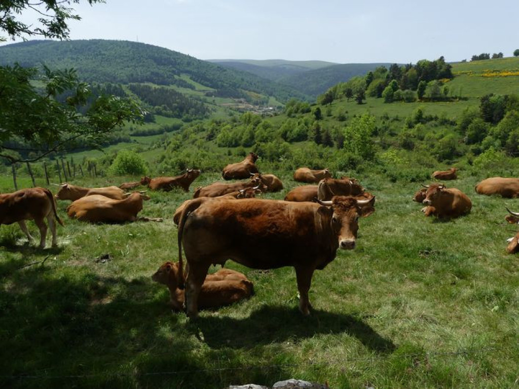
An uphill walk through the large forests of the north slope of Mont Lozère, with wide views over beautiful meadows. A walk best done in the summer !
Montée dans de grandes forêts sur le versant nord du mont Lozère, avec de larges points de vue sur de belles prairies. Montée à privilégier l’été !
- Distance 14.69 km
- Elevation gain 560 m
- Elevation lost 560 m
- Min. elevation 1065 m
- Max. elevation. 1415 m
- Duration (depending on pace) 5h
- Suivre le balisage Yes

Signposts will guide you all along this route. In the description below, the signposted place names and/or directions are given in bold italics between quotation marks:
Starting from "Le Bleymard", walk towards "Station du Mont Lozère" via :
- "La Remise",
- “Croix de la Mission”,
- "Eglise du Bleymard"
- “Le Cayre” (GR®43),
- “La Cham”.
- Then direction "Station du Mont Lozère". Go downhill to :
- “La Massola”,
- “Col Santel”.
This hike is taken from the guidebook Mont Lozère – Pays des sources, de la montagne du Goulet aux gorges du Bramont, published by the Pôle de pleine nature du Mont Lozère.
Parking : At the Mairie (village hall)
Get all the routes on your smartphone with the Lozère outdoor app. You'll find all outdoor activities (summer and winter seasons) and a host of functions :
- Take advantage of detailed IGN maps
- Download data for consultation even when you're not connected to the network
- Geolocate yourself at any time on the route and altimeter profile
- Activate the off-track alarm to be alerted if you stray from the itinerary
- Share your experience (add a report, share your lap time)...




the digital trails


The Lozère Outdoor application was created
by the Lozère Department
Infos & contacts
Conseil départemental de la Lozère
sportsnature@lozere.fr
+33(0)4 66 49 66 32
Crédits photos
 Lozère Outdoor - Parcours - Mazel, Station du Mont Lozère
Lozère Outdoor - Parcours - Mazel, Station du Mont Lozère
Lozère Outdoor - Parcours - Mazel, Station du Mont Lozère
Lozère Outdoor - Parcours - Mazel, Station du Mont Lozère
Lozère Outdoor - Parcours - Mazel, Station du Mont Lozère