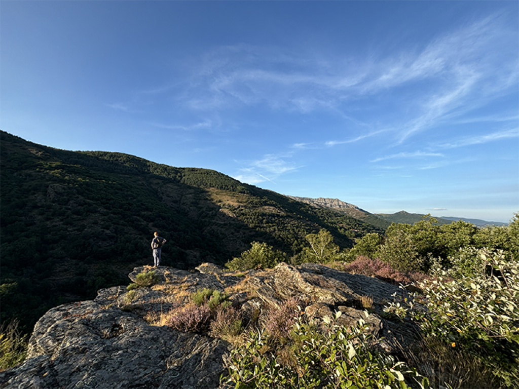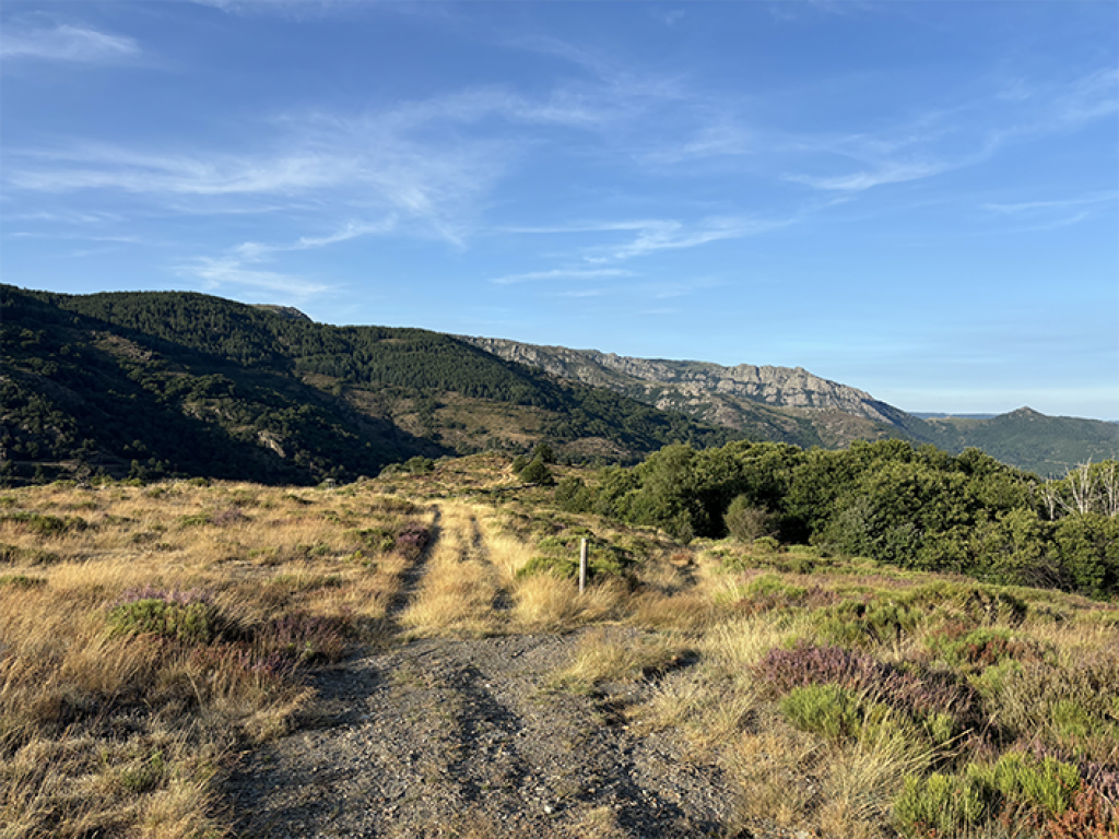
This short family walk overlooking the Luech gorge explores the Cevenol hamlets of Le Villaret and Le Massufret.

- Distance 5.46 km
- Elevation gain 200 m
- Elevation lost 200 m
- Min. elevation 808 m
- Max. elevation. 998 m
- Duration (depending on pace) 2h
- Suivre le balisage Yes

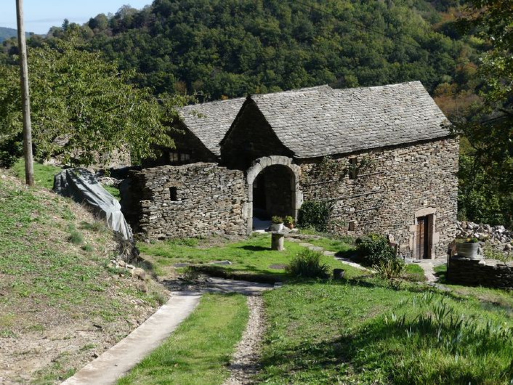
Take the path that goes downhill from the car park. After 50 m, take the path on the right. At a fork, take the track on the left and, some 20 m further, the path on the right. Two granite boulders open the path that goes downhill between birches in a north-easterly direction. Above the village, take the track leading to Le Massufret. The track overlooks the Luech gorge with its sides of sheer jagged rock. It joins up with the Massufret road amidst former meadows now invaded by young ash trees, growing straight and close together. The road goes past a covered fountain, through the hamlet of Le Massufret with its schist houses with granite lintels, and a few ruins. As you leave the hamlet, take the track that leads back to the Col de la Baraquette.
Parking : At the Col de la Baraquette
Get all the routes on your smartphone with the Lozère outdoor app. You'll find all outdoor activities (summer and winter seasons) and a host of functions :
- Take advantage of detailed IGN maps
- Download data for consultation even when you're not connected to the network
- Geolocate yourself at any time on the route and altimeter profile
- Activate the off-track alarm to be alerted if you stray from the itinerary
- Share your experience (add a report, share your lap time)...




the digital trails


The Lozère Outdoor application was created
by the Lozère Department
Infos & contacts
Conseil départemental de la Lozère
sportsnature@lozere.fr
+33(0)4 66 49 66 32
Crédits photos
 Lozère Outdoor - Parcours - Le Villaret
Lozère Outdoor - Parcours - Le Villaret
Lozère Outdoor - Parcours - Le Villaret
Lozère Outdoor - Parcours - Le Villaret
Lozère Outdoor - Parcours - Le Villaret