

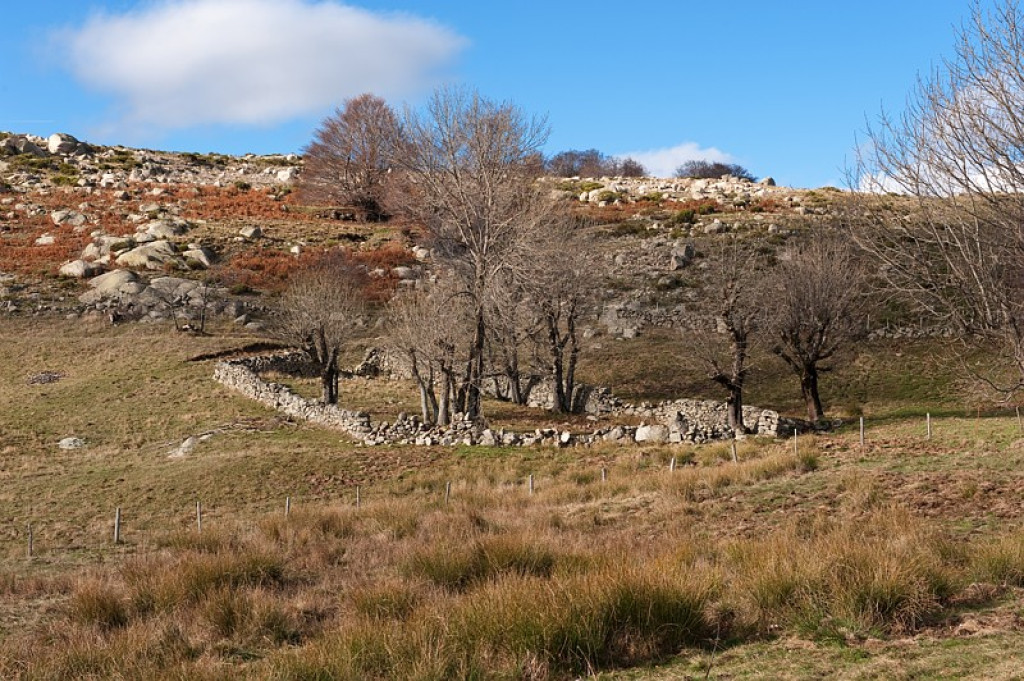
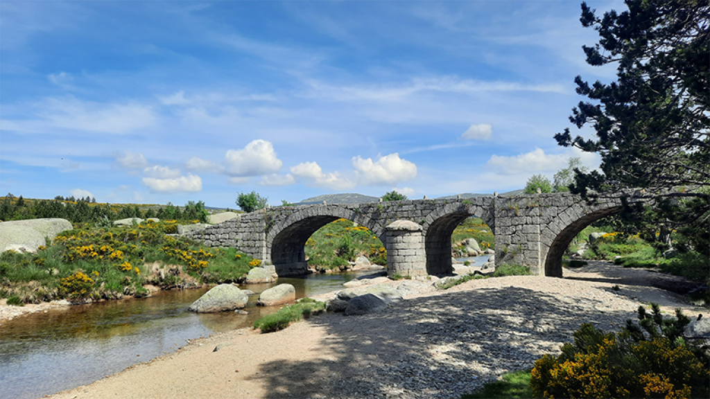
Typical Mont Lozère hamlets such as L'Aubaret or Troubat, in the central zone of the Cévennes National Park, bear witness to a life of self-sufficiency. At the Pont du Tarn, you can cool off in the pure and invigorating waters of the Tarn, not far from its spring.
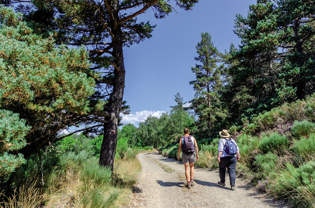
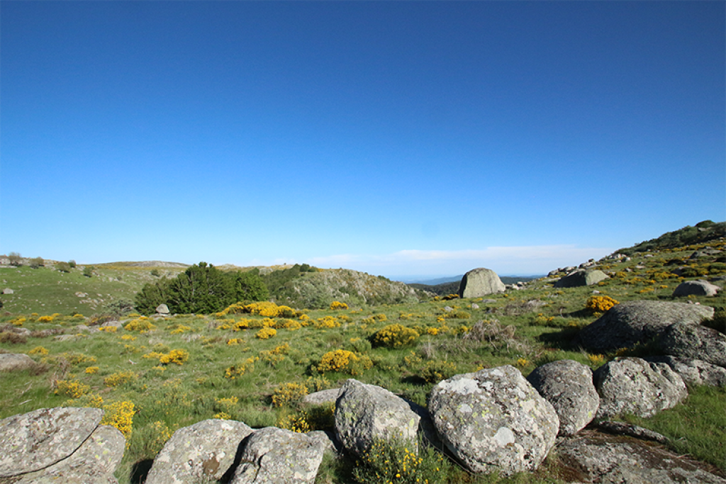
This walk leads you on the draille du Languedoc (track for seasonal livestock migration) to the bends of the river Tarn, exploring the singular built heritage of this granite area.

- Distance 16.34 km
- Elevation gain 510 m
- Elevation lost 510 m
- Min. elevation 1034 m
- Max. elevation. 1364 m
- Duration (depending on pace) 7h
- Suivre le balisage Yes

Signposts will guide you all along this route. In the description below, the signposted place names and/or directions are given in bold italics between quotation marks :
Starting at “La Croix de Berthel”, walk to “L’Aubaret” via :
- “Les Bastides”,
- “Plo de la Nassette”,
- “Plo de L’Estrade”,
- “Draille du Languedoc”
- “Pont de l’Aubaret”.
- From “L’Aubaret” head for “Pont du Tarn” via :
- “Gap Francès”. From “Pont du Tarn” go back to “Gap Francès”.
- Walk along the river Tarn to “La Plaine du Tarn”
- “Troubat”
- “Masméjan”.
At “Masméjan”, return to “La Croix de Berthel” via : - “Col des Rouvières”,
- “Les Bastides” and “Croix de Berthel”.
This hike is taken from the guidebook Mont Lozère – Pays des sources, Sommet des Cévennes, published by the Pôle de pleine nature du Mont Lozère.
Parking : Croix de Berthel cross
Get all the routes on your smartphone with the Lozère outdoor app. You'll find all outdoor activities (summer and winter seasons) and a host of functions :
- Take advantage of detailed IGN maps
- Download data for consultation even when you're not connected to the network
- Geolocate yourself at any time on the route and altimeter profile
- Activate the off-track alarm to be alerted if you stray from the itinerary
- Share your experience (add a report, share your lap time)...


the digital trails


![]()
The Lozère Outdoor application was created
by the Lozère Department
Infos & contacts
Conseil départemental de la Lozère
sportsnature@lozere.fr
+33(0)4 66 49 66 32
Crédits photos
 Lozère Outdoor - Parcours - Le Pont du Tarn par la Croix de Berthel
Lozère Outdoor - Parcours - Le Pont du Tarn par la Croix de Berthel
Lozère Outdoor - Parcours - Le Pont du Tarn par la Croix de Berthel
Lozère Outdoor - Parcours - Le Pont du Tarn par la Croix de Berthel
Lozère Outdoor - Parcours - Le Pont du Tarn par la Croix de Berthel

