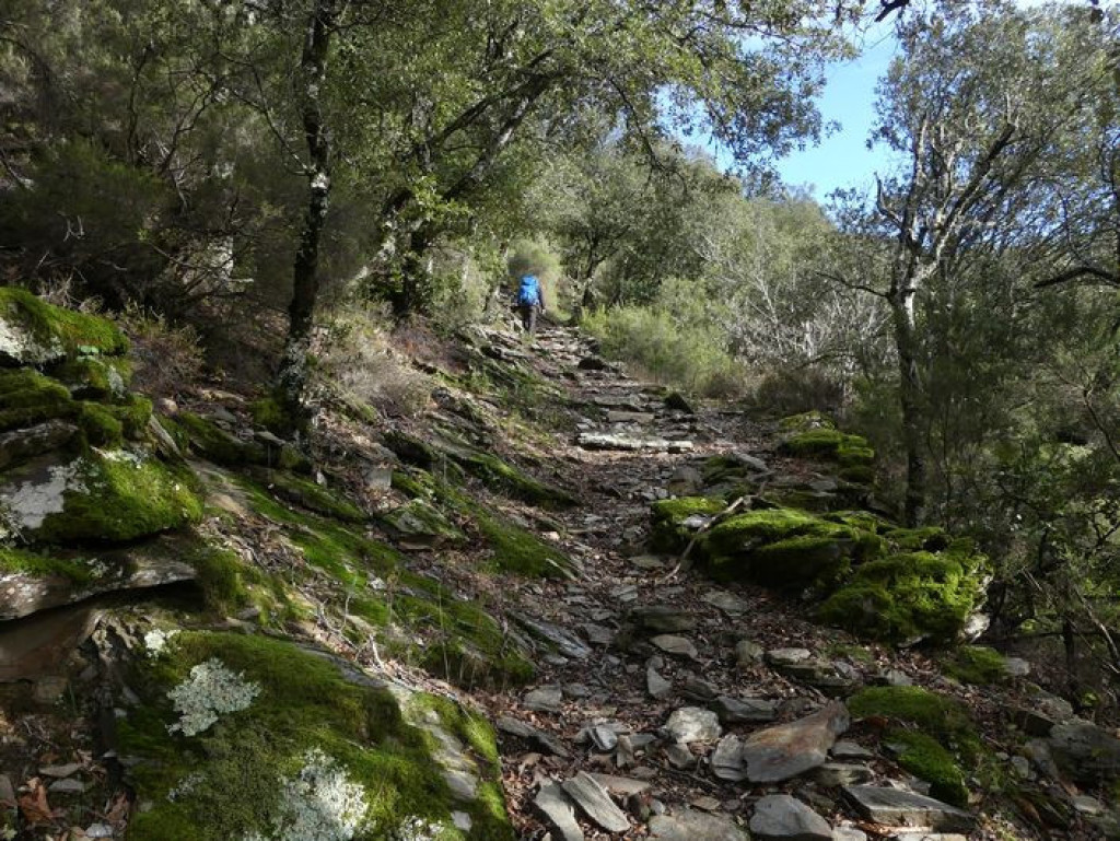
Champdomergue: a site of remembrance of the wars of religion and World War II.
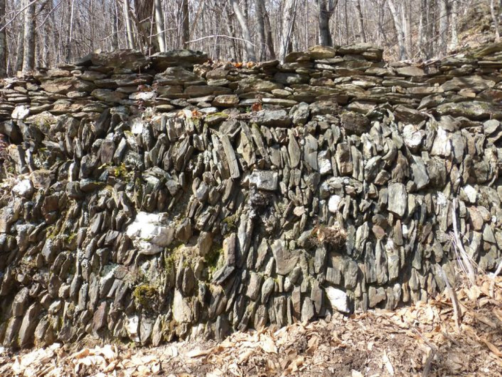
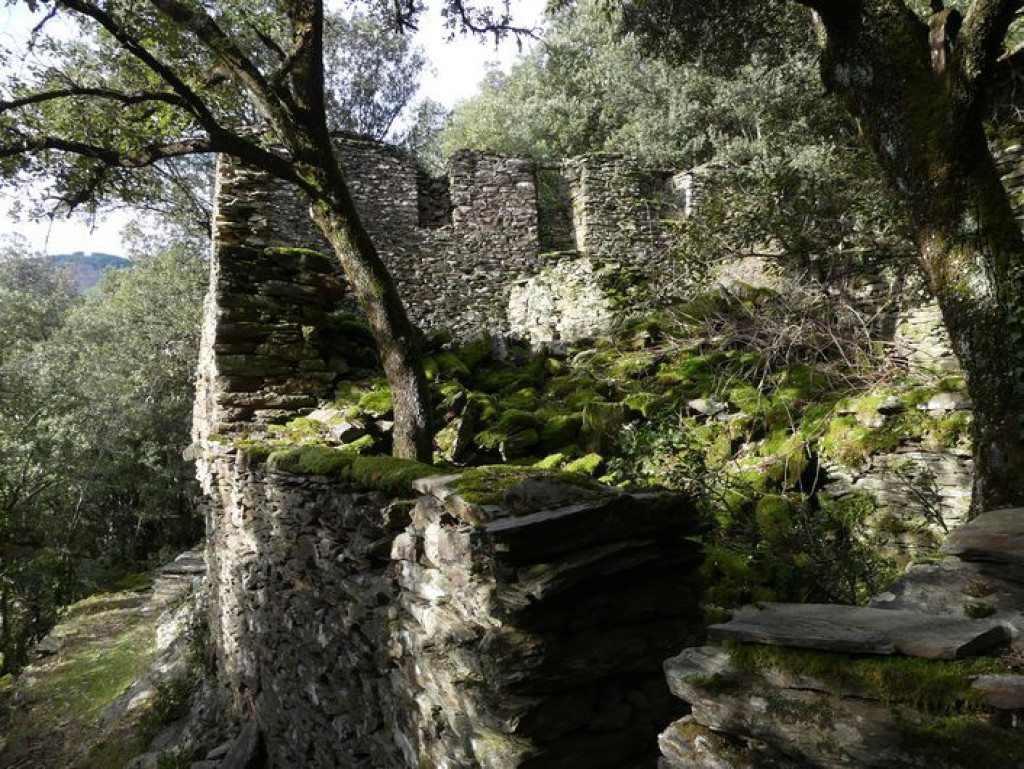
Here everything is a reminder of subsistence farming, where people grew their own vegetables and maintained the chestnut orchards: walled terraces that have now been colonised by holm oak; a former béal (irrigation channel) carved into the rock; a wall built from upright stones.

- Distance 8.99 km
- Elevation gain 450 m
- Elevation lost 450 m
- Min. elevation 420 m
- Max. elevation. 777 m
- Duration (depending on pace) 4h
- Suivre le balisage Yes

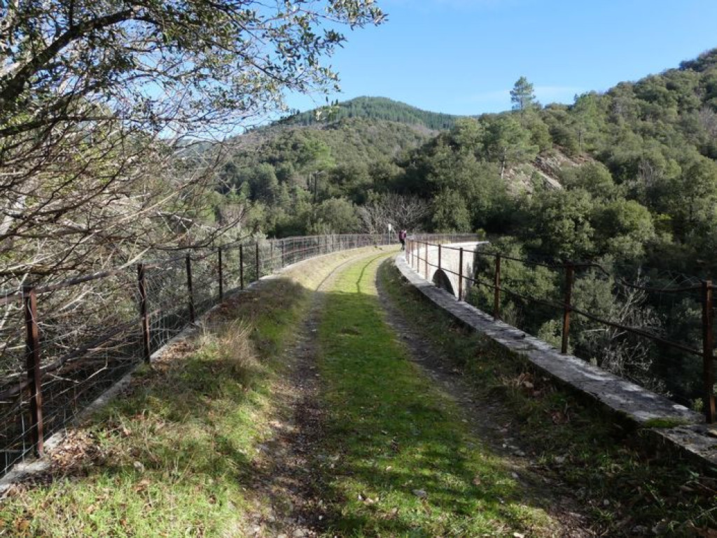
At Champernal bridge, take the path on the right bank of the brook to join up with a disused railway.
1) Turn right onto the disused railway.
2) Immediately after the railway bridge, take the little path on the left that goes uphill via Rome to join up with a track on the ridge.
3) Turn right onto this track until you reach the road, which you take downhill through Leyris Bas. Past this hamlet and a spring, take the path that goes uphill on the left. You climb through a reforested area of pine, Douglas fir and spruce, crossing a forestry track several times.
4) When you reach the ridge track, take a track on the left to Champdomergue. Walk around the meadow on the left. At the road, turn right and go downhill to the pass.
5) Below the pass, take the track on the right.
6) At the first intersection, go downhill on the left and continue on the main track. Then take the road downhill to Altavias, La Borie and Soulatges.
7) Take the path downhill to Burjas, which runs above the disused railway.
8) Take the disused railway for 750 m.
9) Fork left onto a path that comes out on the N 106. Turn right onto the road to get back to your car.
Parking : At Champernal bridge (RN 106)
Get all the routes on your smartphone with the Lozère outdoor app. You'll find all outdoor activities (summer and winter seasons) and a host of functions :
- Take advantage of detailed IGN maps
- Download data for consultation even when you're not connected to the network
- Geolocate yourself at any time on the route and altimeter profile
- Activate the off-track alarm to be alerted if you stray from the itinerary
- Share your experience (add a report, share your lap time)...





the digital trails


The Lozère Outdoor application was created
by the Lozère Department
Infos & contacts
Conseil départemental de la Lozère
sportsnature@lozere.fr
+33(0)4 66 49 66 32
Crédits photos
 Lozère Outdoor - Parcours - Champdomergue
Lozère Outdoor - Parcours - Champdomergue
Lozère Outdoor - Parcours - Champdomergue
Lozère Outdoor - Parcours - Champdomergue
Lozère Outdoor - Parcours - Champdomergue