At the start of the Gorges
Add to my favorites

Route opened
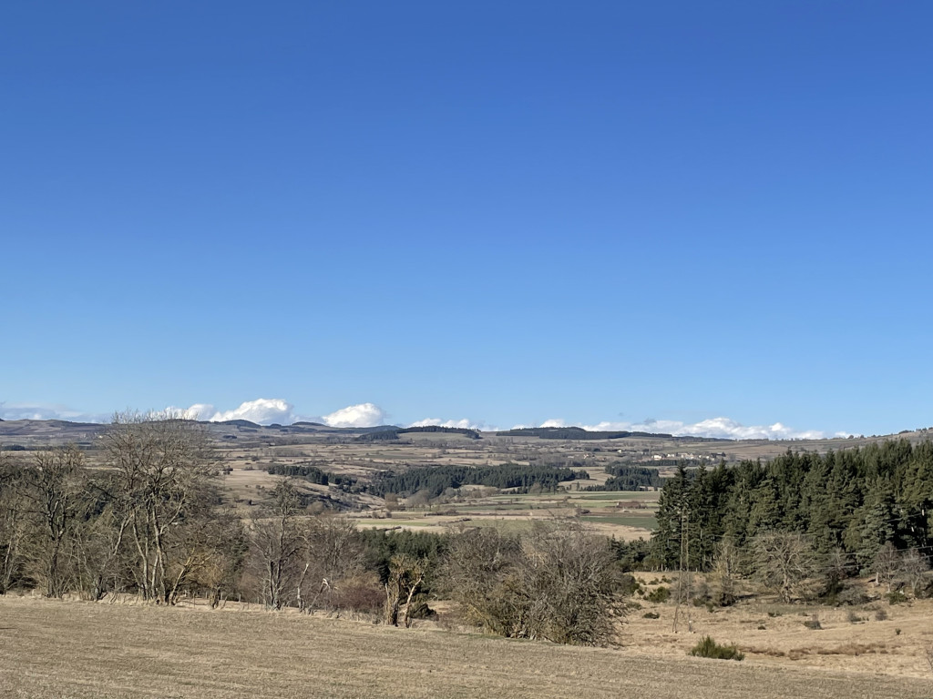
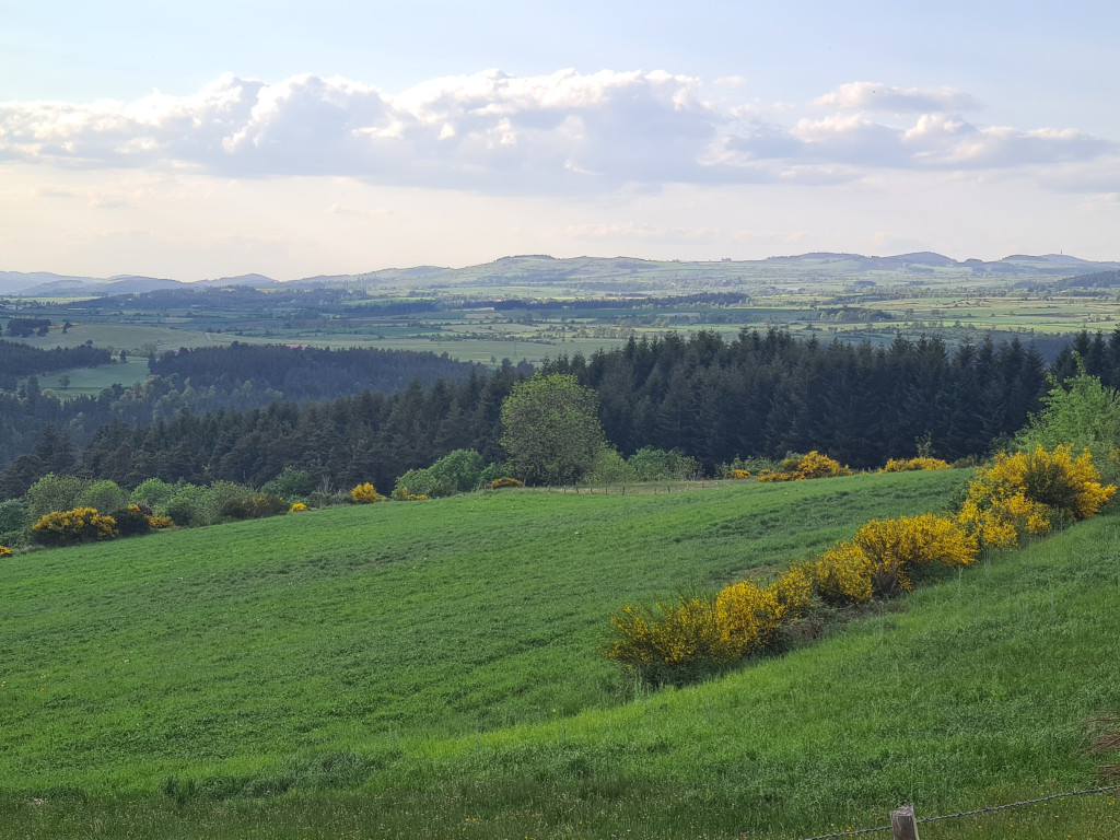
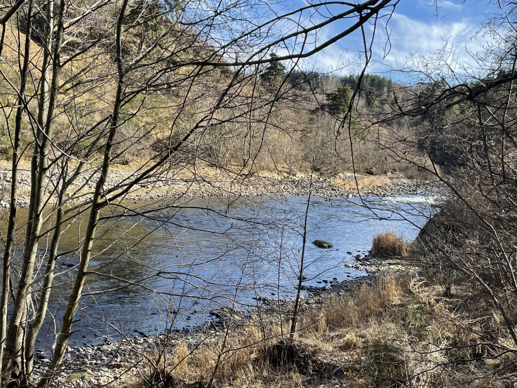
Overlooking the Allier gorges
Let yourself be surprised by the beauty of the landscapes of the Allier gorges.
The characteristics of the route.

Pomeyrols (Naussac-Fontanes) (48)
- Distance 4.59 km
- Elevation gain 170 m
- Elevation lost 170 m
- Min. elevation 885 m
- Max. elevation. 994 m
- Duration (depending on pace) 1h30
- Suivre le balisage Yes

- With your back to the starting sign in the parking lot, take the farm track on the right that descends through the pastures. After about 500 meters, you'll reach a fork in the path.
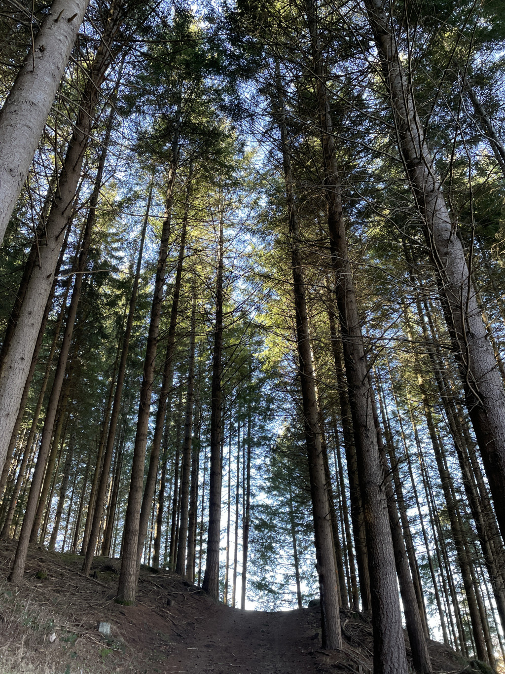
- Turn left. The path quickly enters the Côte-Brune woods. Continue downhill, ignoring all paths on either side, and keep going straight ahead (along the way, you'll find a chain and a sign indicating that you are entering private property; this is a courtesy of the landowner. Please observe the rules of good conduct). You'll pass over a railway tunnel and emerge onto a path coming from the right side of the Allier River (you can take this unmarked route to approach the banks of the Allier for about 500 meters).
- Follow the path to the left, which climbs back up into the Bois de la Maille forest.
- Descend to the right onto a forest track, which 500 meters further on leads to a track; follow this track. It remains parallel to the Allier River and the railway line, then climbs again. Pass the hamlet of "Les Taillades" and continue along the path. Reach a fork in the road.
- Take the left-hand path, which leads back to Pomeyrols. Go around the wash house to the right, and at the crossroads in the village, turn right and return to the starting point.
Parking : Village entrance
Area : Margeride
Report a problem
Pdf file THIS ROUTE IN YOUR MOBILE PHONE
Download Lozère Outdoor app
Get all the routes on your smartphone with the Lozère outdoor app. You'll find all outdoor activities (summer and winter seasons) and a host of functions :
- Take advantage of detailed IGN maps
- Download data for consultation even when you're not connected to the network
- Geolocate yourself at any time on the route and altimeter profile
- Activate the off-track alarm to be alerted if you stray from the itinerary
- Share your experience (add a report, share your lap time)...

Add your time and share your feelings


Source of the data : Département de la Lozère

Follow us on
the digital trails
the digital trails


The Lozère Outdoor application was created
by the Lozère Department
Infos & contacts
Conseil départemental de la Lozère
sportsnature@lozere.fr
+33(0)4 66 49 66 32
Crédits photos
 Lozère Outdoor - Parcours - At the start of the Gorges
Hello, world! This is a toast message.
Lozère Outdoor - Parcours - At the start of the Gorges
Hello, world! This is a toast message.
Lozère Outdoor - Parcours - At the start of the Gorges
Hello, world! This is a toast message.


OK
Annuler