
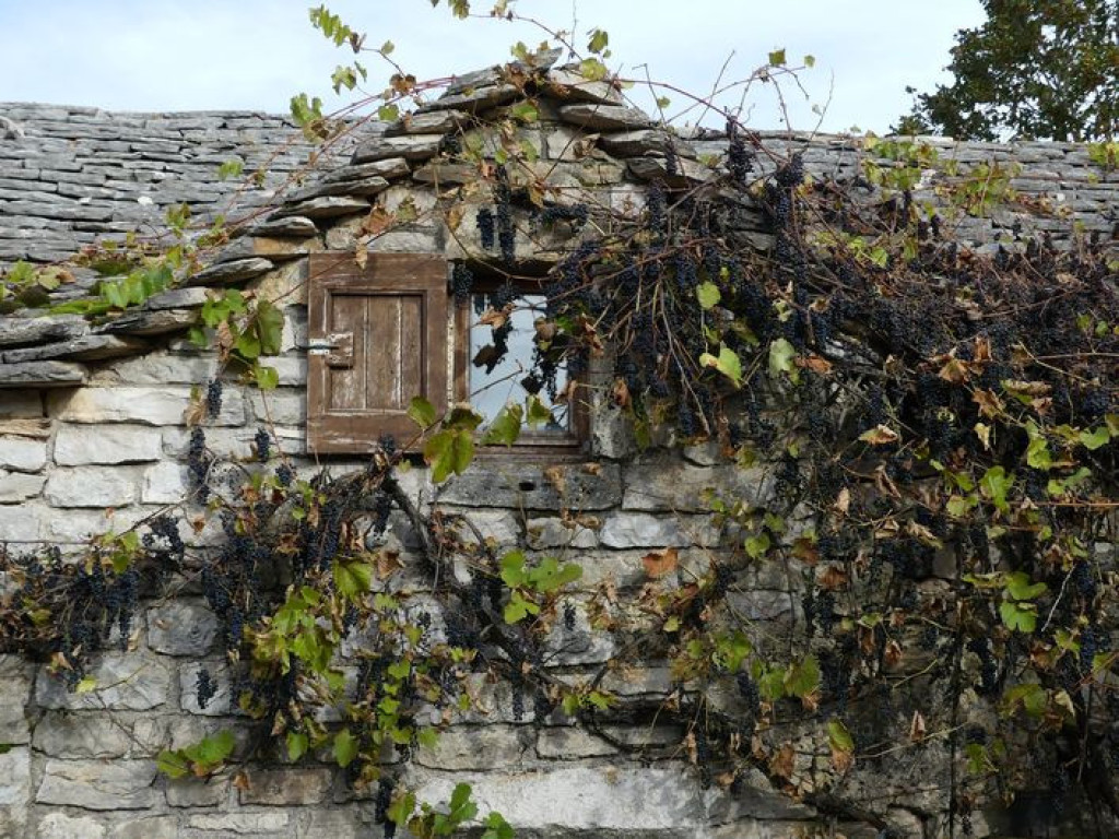
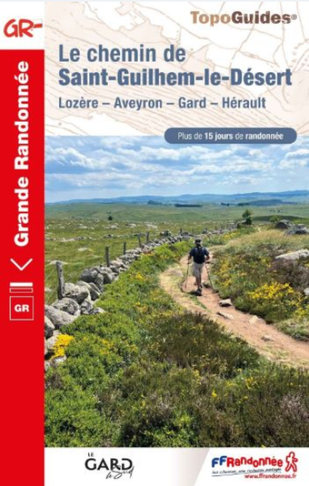
This magnificent 240-km-long trail with its wealth of heritage is marked by many crucifixes and links the former monastery Dômerie d’Aubrac to the Abbey of Gellone in Saint-Guilhem-le-Désert.
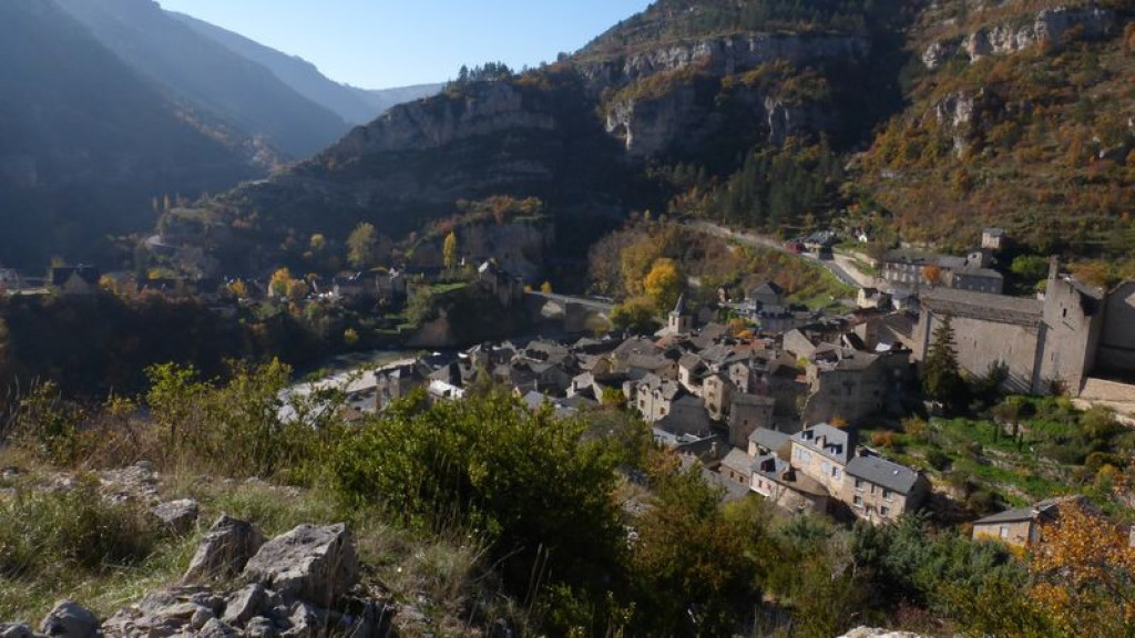
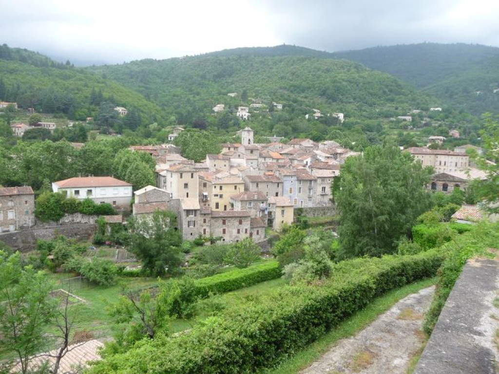
From Antiquity onwards, this trail was used as a drovers’ road and trade route to link the Aubrac uplands to the garrigues (arid shrubland) of the Languedoc. It leads past a stunning variety of architecture and landscapes. Hikers or pilgrims coming from the plateaux to the gorges, from the Aigoual massif to the Cirque de Navacelles, will complete their long journey in the picturesque village which gave the trail its name!

- Distance 73.87 km
- Elevation gain 2370 m
- Elevation lost 2590 m
- Min. elevation 223 m
- Max. elevation. 1328 m
- Duration (depending on pace) 96h
- Suivre le balisage Yes

Only the section of this GR® [long-distance hiking path] which crosses the territory of the Cévennes National Park, from Ste-Enimie to Le Vigan, is described here.
You can find the whole itinerary in the topographic guidebook Le Chemin de Saint-Guilhem-le-Désert (ref. 4834), published by the French hikers’ federation (FFRandonnée) and available for purchase in the Maisons du tourisme et du Parc [tourist office and National Park information centre] the online shop www.cevennes-parcnational.fr, bookshops, sports shops and at https://boutique.ffrandonnee.fr.
All information is also available on the website of the association “Les Amis du Chemin de Saint Guilhem”: http://www.chemin-st-guilhem.fr/accueil/
Get all the routes on your smartphone with the Lozère outdoor app. You'll find all outdoor activities (summer and winter seasons) and a host of functions :
- Take advantage of detailed IGN maps
- Download data for consultation even when you're not connected to the network
- Geolocate yourself at any time on the route and altimeter profile
- Activate the off-track alarm to be alerted if you stray from the itinerary
- Share your experience (add a report, share your lap time)...


the digital trails


![]()
The Lozère Outdoor application was created
by the Lozère Department
Infos & contacts
Conseil départemental de la Lozère
sportsnature@lozere.fr
+33(0)4 66 49 66 32
Crédits photos
 Lozère Outdoor - Parcours - The Saint-Guilhem-le-Désert trail
Lozère Outdoor - Parcours - The Saint-Guilhem-le-Désert trail
Lozère Outdoor - Parcours - The Saint-Guilhem-le-Désert trail
Lozère Outdoor - Parcours - The Saint-Guilhem-le-Désert trail
Lozère Outdoor - Parcours - The Saint-Guilhem-le-Désert trail

