
This circuit takes you through the large areas impacted by the forest fire of August 2003. On a detour, you can visit Saint Cosmas’ Chapel [chapelle de Saint-Côme], spared by the fire and recently restored.
This bare landscape, shaped by generations of farmers and sheep-breeders, is closely linked to human history.

- Distance 16.67 km
- Elevation gain 290 m
- Elevation lost 290 m
- Min. elevation 919 m
- Max. elevation. 1034 m
- Duration (depending on pace) 2h30
- Suivre le balisage Yes

From the car park by the church, take the road that goes downhill to the war memorial. Continue straight ahead between the houses. Continue on a track suitable for motor vehicles that turns into a path and climbs to a wide track.
- Take the track on the left (detour: you can reach Saint-Cosmas’ Chapel by taking the track on the right for 700m). Stay on the main track.
- Go right then left on the tarred road towards Toulousette. Leave it behind to take a track near a container shelter, then continue to Mas de Val.
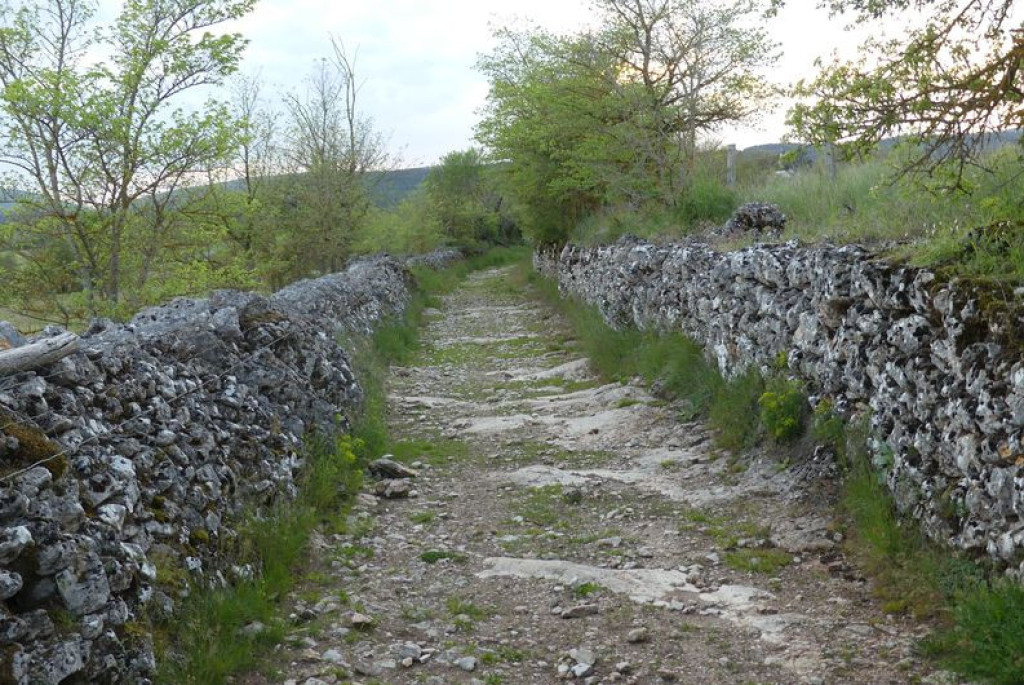
- Cross the hamlet. Continue on a path bordered by low walls until you reach the D 16.
- Cross the road and take the track opposite. Go through two gates (close them properly). At the second gate, take the track on the left to the D 16.
- Continue straight ahead. Climb up a slope and go back down towards a road (NB: technical section).
- Continue opposite towards Prunet until you reach a small pass.
- Go through the fence to take the track on the left. Follow the main path, through a second fence. When you see the village, go left then right to reach the road. By the houses, turn right twice to return to the starting-point.
Parking : Car park by the church in Mas Saint-Chély
Get all the routes on your smartphone with the Lozère outdoor app. You'll find all outdoor activities (summer and winter seasons) and a host of functions :
- Take advantage of detailed IGN maps
- Download data for consultation even when you're not connected to the network
- Geolocate yourself at any time on the route and altimeter profile
- Activate the off-track alarm to be alerted if you stray from the itinerary
- Share your experience (add a report, share your lap time)...


the digital trails


![]()
The Lozère Outdoor application was created
by the Lozère Department
Infos & contacts
Conseil départemental de la Lozère
sportsnature@lozere.fr
+33(0)4 66 49 66 32
Crédits photos
 Lozère Outdoor - Parcours - Mas Saint-Chély, MTB circuit #5 (graded blue)
Lozère Outdoor - Parcours - Mas Saint-Chély, MTB circuit #5 (graded blue)
Lozère Outdoor - Parcours - Mas Saint-Chély, MTB circuit #5 (graded blue)
Lozère Outdoor - Parcours - Mas Saint-Chély, MTB circuit #5 (graded blue)
Lozère Outdoor - Parcours - Mas Saint-Chély, MTB circuit #5 (graded blue)

