
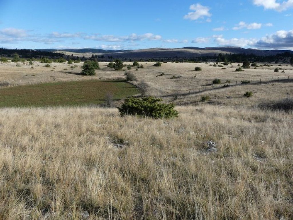
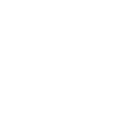
From bare (limestone) plateau to forested plateau, you crisscross the causse Méjean, an unusual territory and a beautiful place to discover!
- Distance 23.27 km
- Elevation gain 490 m
- Elevation lost 490 m
- Min. elevation 925 m
- Max. elevation. 1070 m
- Duration (depending on pace) 3h
- Suivre le balisage Yes

From the car park, take the road to the left towards Le Buffre.
1) Leave the road and take the track on the right; go through several gates as you head towards Le Fraïsse.
2) Just before Le Fraïsse farm, turn right (GR®60) and continue straight ahead on the track till you reach the D63.
3) Turn right onto the road till you reach Nivoliers. Go uphill into the village on the left, then turn right to cross it. As you leave the village, continue straight ahead on the uphill track. 200 m further on, turn right onto a path that that runs alongside the Przewalski horse enclosure. Cross the two cattle grids and continue on the track.
4) NB: Before the climb, turn right towards La Bégude Blanche. At the last house, turn left and take the track, going through a gate and alongside fields, pass a lavogne (waterhole) and go through the hamlet of Saubert (Careful, slow down!).
5) As you leave the hamlet, continue on the road. Join up with the lane and turn left onto it.
6) Just before the crossroads, take the track on the right. Go through a gate and several barriers (please remember to shut the gates to keep livestock safe). The track climbs to the Serre de Gaoujac and goes back down to the D 63.
7) Turn left onto it and continue till you reach Drigas.
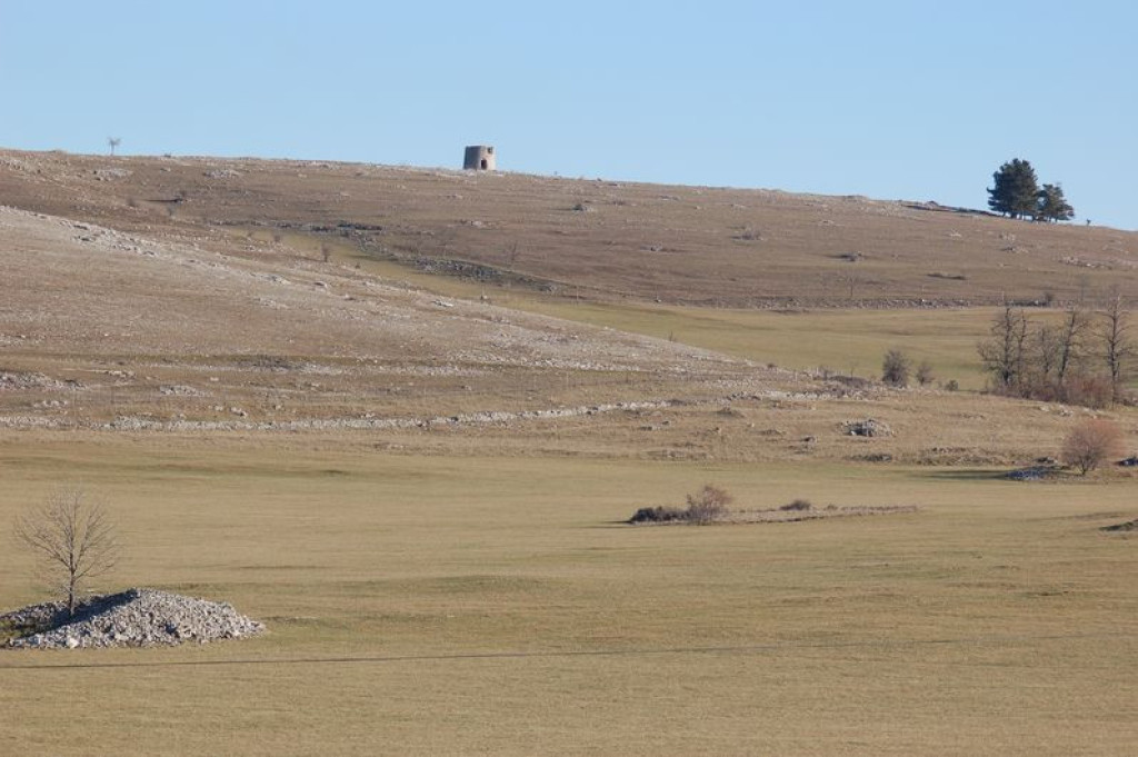
8) Go up into the village and take the first right (GRP) towards the quarry. Cross it and continue straight ahead to Hures.
Parking : Car park in the village centre.
Get all the routes on your smartphone with the Lozère outdoor app. You'll find all outdoor activities (summer and winter seasons) and a host of functions :
- Take advantage of detailed IGN maps
- Download data for consultation even when you're not connected to the network
- Geolocate yourself at any time on the route and altimeter profile
- Activate the off-track alarm to be alerted if you stray from the itinerary
- Share your experience (add a report, share your lap time)...


the digital trails


![]()
The Lozère Outdoor application was created
by the Lozère Department
Infos & contacts
Conseil départemental de la Lozère
sportsnature@lozere.fr
+33(0)4 66 49 66 32
Crédits photos
 Lozère Outdoor - Parcours - MTB 6 - Hures – graded red
Lozère Outdoor - Parcours - MTB 6 - Hures – graded red
Lozère Outdoor - Parcours - MTB 6 - Hures – graded red
Lozère Outdoor - Parcours - MTB 6 - Hures – graded red
Lozère Outdoor - Parcours - MTB 6 - Hures – graded red

