
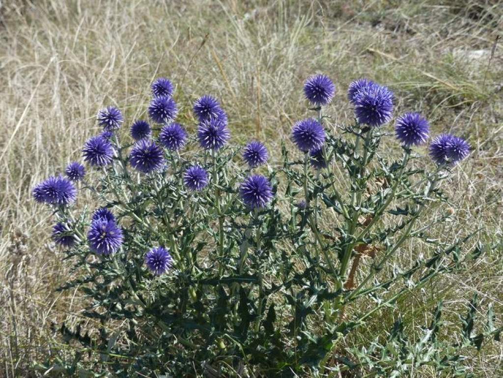
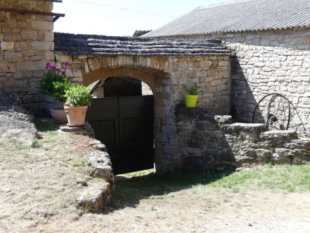
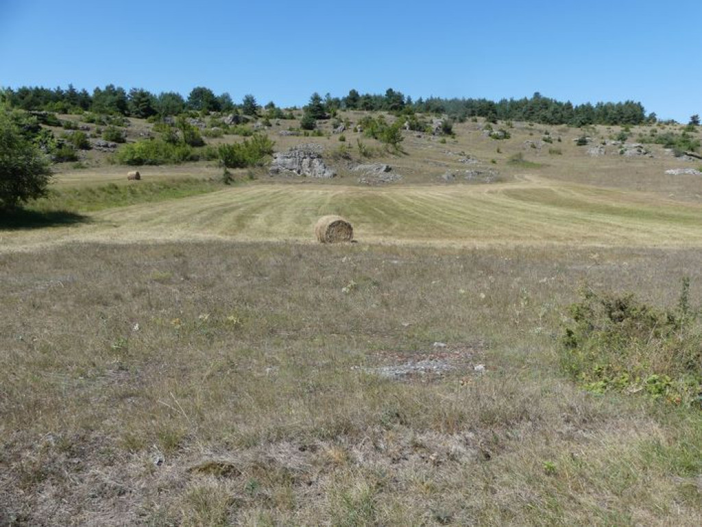
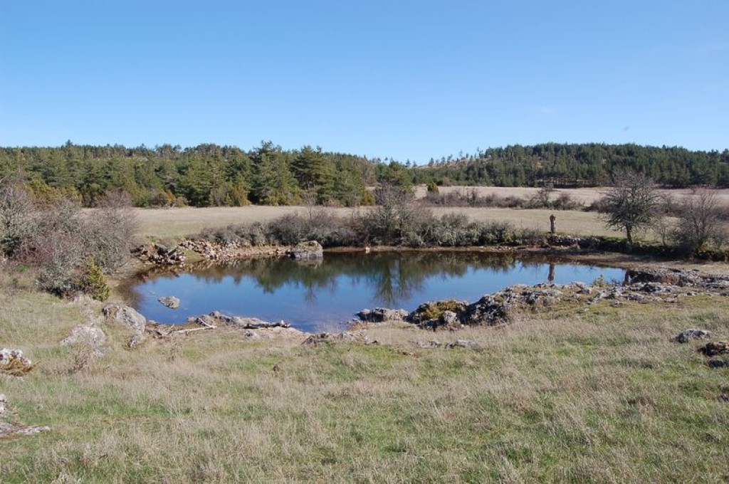
Starting in the hamlet of Dargilan, which gave its name to the cave, you go through Scots pine forests, across open landscapes and past handsome fortified farms. You straddle three departments.

- Distance 20.79 km
- Elevation gain 400 m
- Elevation lost 400 m
- Min. elevation 914 m
- Max. elevation. 1043 m
- Duration (depending on pace) 2h45
- Suivre le balisage Yes

From the car park, take the track suitable for motor vehicles that leads to Sérigas.
1) Go through the hamlet to reach the D 39. Turn right onto the road, then leave it again to take the second on the left, towards Le Marjoab. At the top of the slope, go right and pass through several gates to reach Le Marjoab.
2) Cross the village and take the road that leads to the D 47. Turn right onto the D 47. At the second intersection, turn right. The track joins up with the D 47c: turn left onto it and at the next crossroads turn right and continue to Les Mazes.
3) From les Mazes, continue straight ahead on the track till you reach Alluech.
4) In the village of Alluech, continue left between the houses. Cross the road and follow the path opposite to the GR® 62a trail.
5) Turn right onto the GR; the path between two hedges continues in the forest. It comes out on a road: turn left onto it and continue to the hamlet of Luc.
6) By the farm, leave the road for a path that passes close to a farm building. Continue on this path, which joins up with the D 47c.
7) Turn left onto the road and, at the crossroads, continue straight ahead on the D 139 till you reach the car park in Dargilan that you started from.
Parking : Dargilan hamlet
Get all the routes on your smartphone with the Lozère outdoor app. You'll find all outdoor activities (summer and winter seasons) and a host of functions :
- Take advantage of detailed IGN maps
- Download data for consultation even when you're not connected to the network
- Geolocate yourself at any time on the route and altimeter profile
- Activate the off-track alarm to be alerted if you stray from the itinerary
- Share your experience (add a report, share your lap time)...


the digital trails


![]()
The Lozère Outdoor application was created
by the Lozère Department
Infos & contacts
Conseil départemental de la Lozère
sportsnature@lozere.fr
+33(0)4 66 49 66 32
Crédits photos
 Lozère Outdoor - Parcours - MTB 7 - Dargilan - graded blue
Lozère Outdoor - Parcours - MTB 7 - Dargilan - graded blue
Lozère Outdoor - Parcours - MTB 7 - Dargilan - graded blue
Lozère Outdoor - Parcours - MTB 7 - Dargilan - graded blue
Lozère Outdoor - Parcours - MTB 7 - Dargilan - graded blue

