
A beautiful loop around the Luech river in a fault zone between schist and granite. The route offers numerous viewpoints overlooking the Luech valley, the impressive Trenze cliff, and the surrounding valleys.
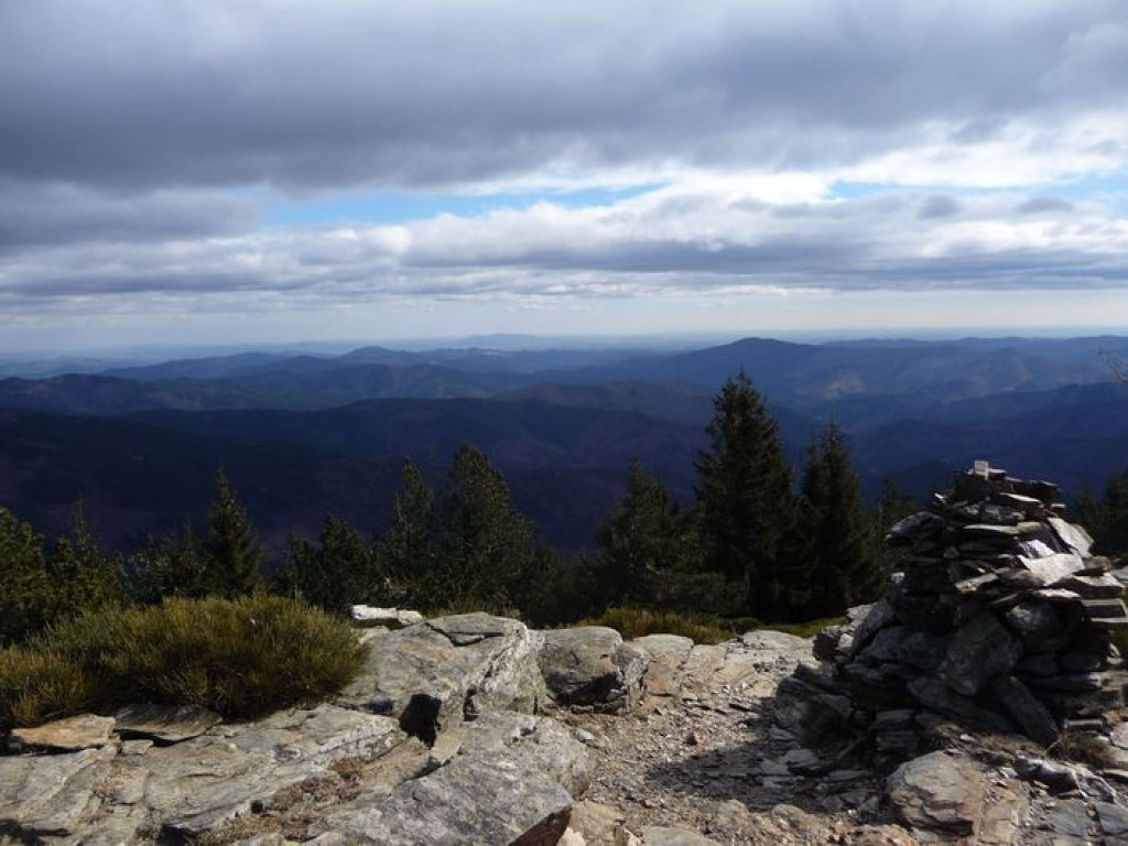
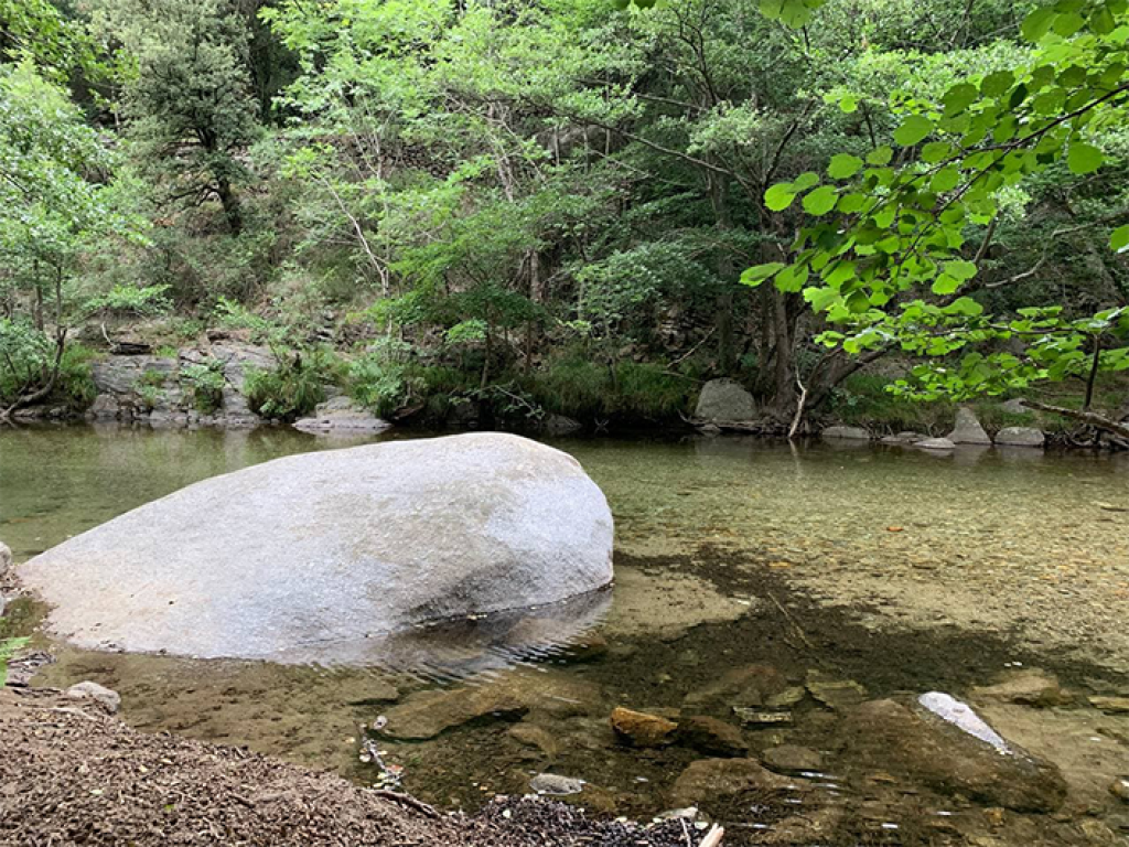
The highlight of the hike will be the Ventalon viewpoint, where you'll be rewarded with an exceptional 360° view of Mont Lozère, the Cévennes valleys, Mont Aigoual…and even the sea or the Alps on occasion. The route then crosses the hamlet of Castagnols, with its remarkable architectural heritage, and passes by La Planche, where swimming is possible, before climbing back up to Vialas.
This is a challenging route with significant elevation gain. Be aware that some sections are a bit technical.

- Distance 30.94 km
- Elevation gain 1220 m
- Elevation lost 1220 m
- Min. elevation 521 m
- Max. elevation. 1343 m
- Duration (depending on pace) 4h30
- Suivre le balisage Yes

Along the route, directional posts and yellow paint markings will guide you. Named places and/or directions are indicated in bold italics and quotation marks in the description below:
Starting from the "Vialas" post next to the church, head towards:
- "Place de l'Ancienne Gendarmerie" (Old Gendarmerie Square), then descend to
- "La Vigne" (The Vineyard). Turn right towards the retirement home and continue on the road to the "Rieutort" bridge.
- At "Rieutort", leave the road and take a path on the right that climbs to "Soleyrols".
- At "Soleyrols", turn right, then left onto the road until you reach the Mas de Lafont crossroads, which you take to your right, to reach "Plo de l'Estrade".
- At "Plo de l'Estrade", turn left towards
- "Plo de la Nassette", then continue on the track to the Berthel cross.
- At "La Croix de Berthel", take the path uphill to
- "Draille du Ventalon", then take the track on the right towards
- "Peyre de Soly", then turn left onto the GR (long-distance hiking trail) towards
- "Signal de Ventalon". From there, descend to
- "Sous le Signal de Ventalon",
- "Le Grand Cougnet", then turn right towards the
- "Col de Malpertus", then
- "Col de la Baraquette". Cross the road towards the
- "Col de Chalsio", continue on the ridge path to
- "Le Relais de l'Espinas". From there, turn left and descend to Vialas via
- "Pradiguas" then "Castagnols". Descend to
- "La Tranchée", "Lou Devez" and "Plagette".
- From Plagette, ascend to Vialas via La Vigne and Place de l'Ancienne Gendarmerie.
- Mountain biking route excerpted from the Mont Lozère – Pays des Sources, Sommet des Cévennes map guide, produced by the Mont Lozère Outdoor Activities Center.
Parking : Vialas (Temple)
Get all the routes on your smartphone with the Lozère outdoor app. You'll find all outdoor activities (summer and winter seasons) and a host of functions :
- Take advantage of detailed IGN maps
- Download data for consultation even when you're not connected to the network
- Geolocate yourself at any time on the route and altimeter profile
- Activate the off-track alarm to be alerted if you stray from the itinerary
- Share your experience (add a report, share your lap time)...


the digital trails


![]()
The Lozère Outdoor application was created
by the Lozère Department
Infos & contacts
Conseil départemental de la Lozère
sportsnature@lozere.fr
+33(0)4 66 49 66 32
Crédits photos
 Lozère Outdoor - Parcours - Signal de Ventalon - VTT n°4
Lozère Outdoor - Parcours - Signal de Ventalon - VTT n°4
Lozère Outdoor - Parcours - Signal de Ventalon - VTT n°4
Lozère Outdoor - Parcours - Signal de Ventalon - VTT n°4
Lozère Outdoor - Parcours - Signal de Ventalon - VTT n°4

