Les hameaux Aubracois en Gravel
Add to my favorites

Route opened
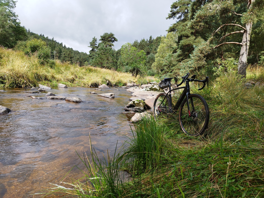
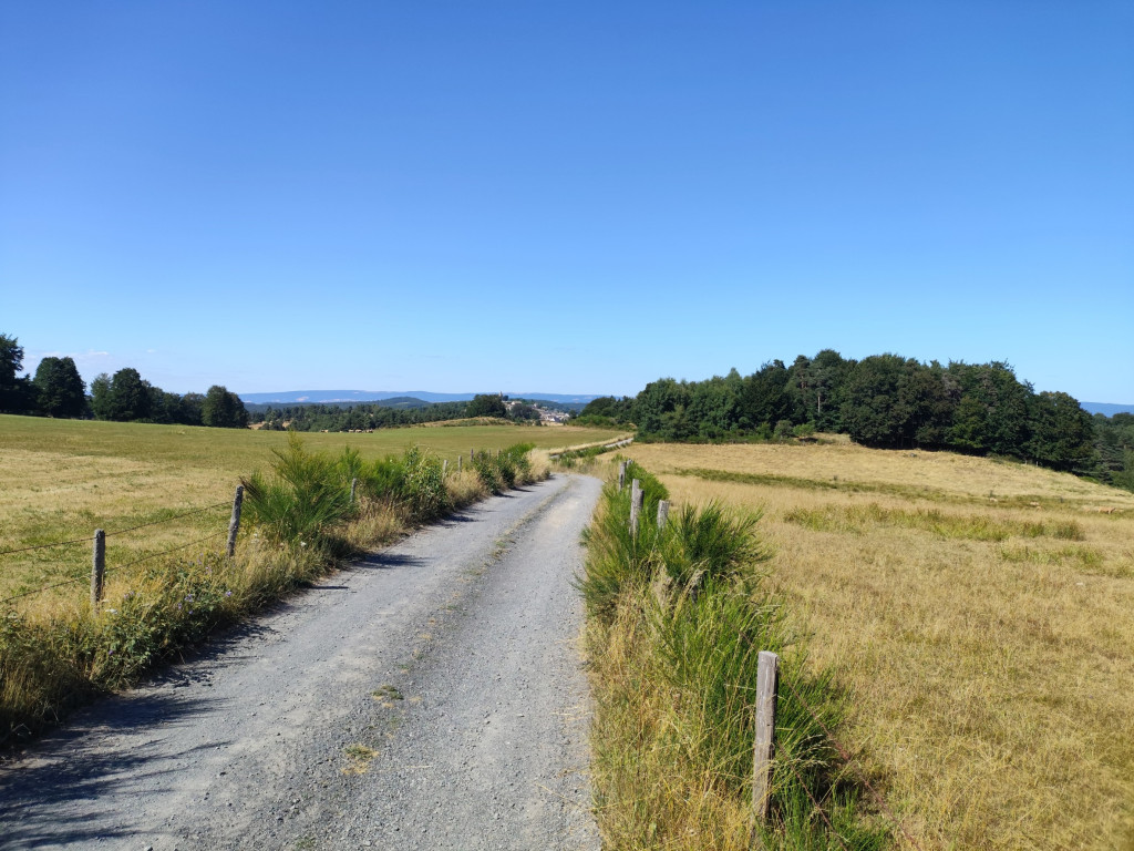
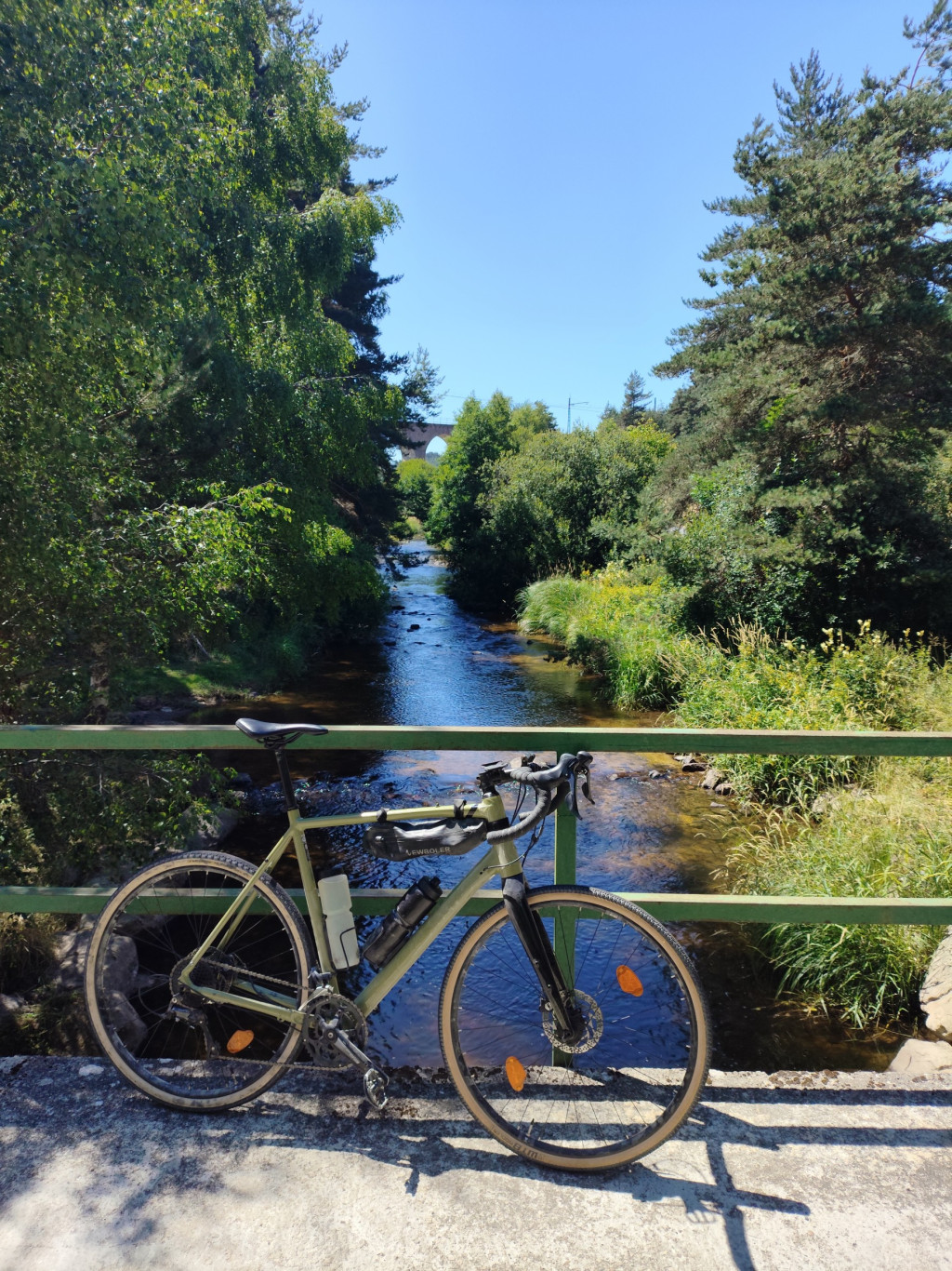
Un condensé de l'ambiance de la Margeride et de l'Aubrac.
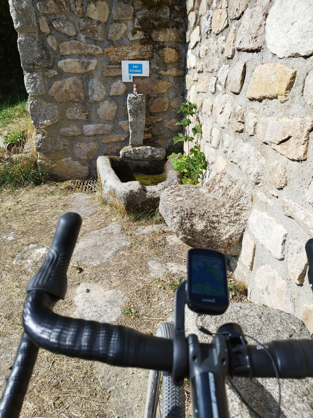
Ce parcours est à coup sûr typé pour du gravel avec environ 70 % de chemins.
The characteristics of the route.

Peyre en Aubrac (und)
- Distance 60.12 km
- Elevation gain 1140 m
- Elevation lost 1140 m
- Min. elevation 966 m
- Max. elevation. 1259 m
- Duration (depending on pace) 3h
- Marking No
Parking : Pour plus de commodités, nous vous invitons à stationner au parking de la gare SNCF
Area : Aubrac
Report a problem
THIS ROUTE IN YOUR MOBILE PHONE
Download Lozère Outdoor app
Get all the routes on your smartphone with the Lozère outdoor app. You'll find all outdoor activities (summer and winter seasons) and a host of functions :
- Take advantage of detailed IGN maps
- Download data for consultation even when you're not connected to the network
- Geolocate yourself at any time on the route and altimeter profile
- Activate the off-track alarm to be alerted if you stray from the itinerary
- Share your experience (add a report, share your lap time)...

Add your time and share your feelings


Follow us on
the digital trails
the digital trails


![]()
The Lozère Outdoor application was created
by the Lozère Department
Infos & contacts
Conseil départemental de la Lozère
sportsnature@lozere.fr
+33(0)4 66 49 66 32
Crédits photos
 Lozère Outdoor - Parcours - Les hameaux Aubracois en Gravel
Hello, world! This is a toast message.
Lozère Outdoor - Parcours - Les hameaux Aubracois en Gravel
Hello, world! This is a toast message.
Lozère Outdoor - Parcours - Les hameaux Aubracois en Gravel
Hello, world! This is a toast message.


OK
Annuler