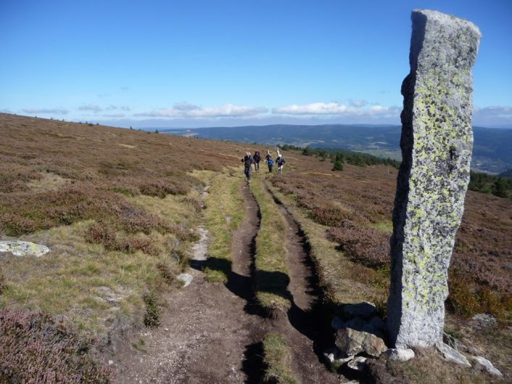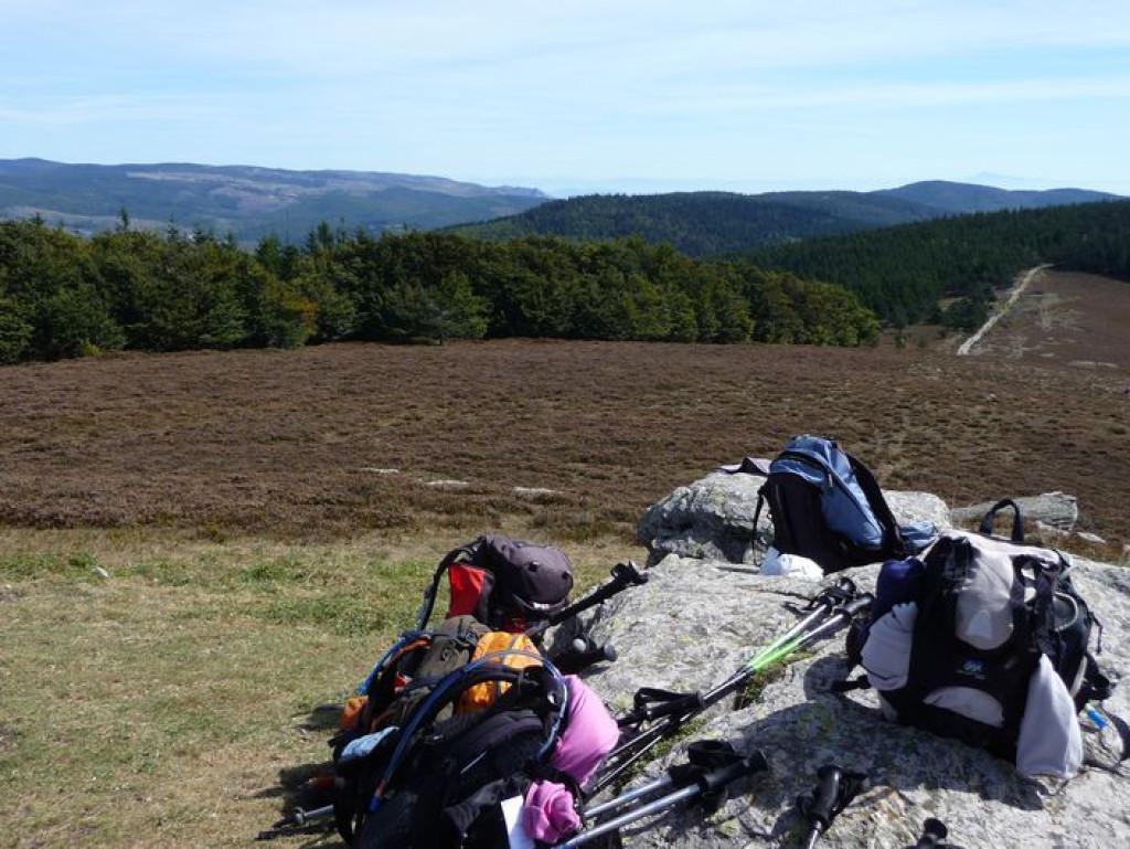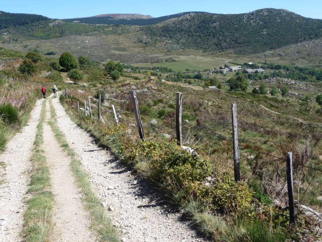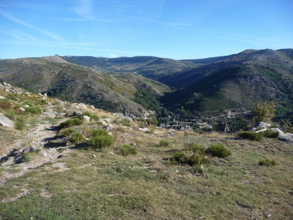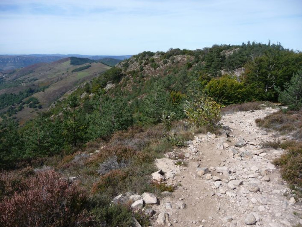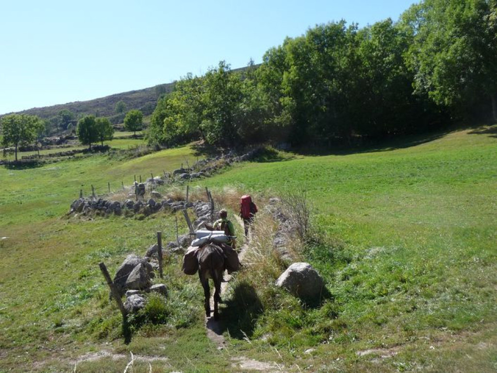
"I travel not to go anywhere but to go. (…) The great affair is to move; to feel the needs and hitches of our life more nearly; to come down off this featherbed of civilization, and find the globe granite underfoot and strewn with cutting flints." (extract from Travels with a Donkey in the Cévennes (1879)).
Whether you are on your own, with friends or family, on foot, donkey, by bike or on horseback: there are many ways to discover the route taken by Robert Louis Stevenson in 1878. You should allow two weeks for the hike from Le Puy-en-Velay to Alès, the capital of the Cévennes, via the Gévaudan and Mont Lozère. You can then discover the varied scenery and the stories it tells at your own rhythm …

- Distance 177.25 km
- Elevation gain 5080 m
- Elevation lost 5860 m
- Min. elevation 132 m
- Max. elevation. 1699 m
- Duration (depending on pace) 216h
- Suivre le balisage Yes

Only the section of this GR® [long-distance hiking path] which crosses the territory of the Cévennes National Park, from Le Bleymard to the outskirts of Alès, is described here.
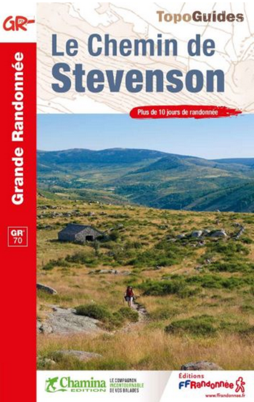
You can find the entire itinerary in the topographic guidebook “Le Chemin de Stevenson” (ref. 700), published by the French hikers’ federation Fédération française de randonnée pédestre and available for purchase in the Maisons du tourisme et du Parc [joint tourist office and National Park information centre], the online shop at www.cevennes-parcnational.fr, bookshops, sports shops and at https://boutique.ffrandonnee.fr.
All information is also available on the website of the association “Sur le Chemin de Robert Louis Stevenson”: www.chemin-stevenson.org
Get all the routes on your smartphone with the Lozère outdoor app. You'll find all outdoor activities (summer and winter seasons) and a host of functions :
- Take advantage of detailed IGN maps
- Download data for consultation even when you're not connected to the network
- Geolocate yourself at any time on the route and altimeter profile
- Activate the off-track alarm to be alerted if you stray from the itinerary
- Share your experience (add a report, share your lap time)...




the digital trails


The Lozère Outdoor application was created
by the Lozère Department
Infos & contacts
Conseil départemental de la Lozère
sportsnature@lozere.fr
+33(0)4 66 49 66 32
Crédits photos
 Lozère Outdoor - Parcours - GR®70, the Stevenson trail
Lozère Outdoor - Parcours - GR®70, the Stevenson trail
Lozère Outdoor - Parcours - GR®70, the Stevenson trail
Lozère Outdoor - Parcours - GR®70, the Stevenson trail
Lozère Outdoor - Parcours - GR®70, the Stevenson trail