
Hike 240 kilometres of a trail once used by merchants and mule-drivers, Crusaders and pilgrims heading for St Gilles’ tomb or to Le Puy-en-Velay for its Black Madonna.
The Régordane Waywas absolutely central to circulation in Antiquity and the Middle Ages. As you hike it, you can explore the movement of people, merchandise and ideas at each stage. The Régordane Way still bears the traces of the fight for freedom of conscience and the successive challenges that it brought to the Catholic Church: Arianism, Catharism and Protestantism. It runs through very diverselandscapes, beginning with coniferous forests and lava flows in the norththat are gradually replaced by sweet-chestnut trees, broom and holm oak, and then by garrigue(Mediterranean scrubland)as you approach the Petite Camargue.

- Distance 80.88 km
- Elevation gain 1910 m
- Elevation lost 2480 m
- Min. elevation 292 m
- Max. elevation. 1231 m
- Duration (depending on pace) 96h
- Suivre le balisage Yes

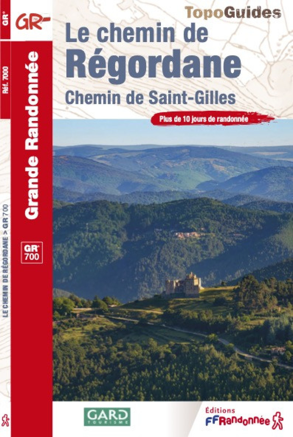
This document presents only the segment of the trail between la Bastide-Puylaurent et l’Affenadou, most of which is on the territory of the Cévennes National Park. You can find the entire itinerary in the official guidebook, Le chemin de Régordane (ref. 7000),published by the Fédération française de randonnée pédestre (FFRandonnée)and sold in the National Park’s centres, online at www.cevennes-parcnational.fr, in bookshops and sports shops, and at boutique.ffrandonnee.fr. All information about the Régordane Way is also available at www.chemin-regordane.fr.
Get all the routes on your smartphone with the Lozère outdoor app. You'll find all outdoor activities (summer and winter seasons) and a host of functions :
- Take advantage of detailed IGN maps
- Download data for consultation even when you're not connected to the network
- Geolocate yourself at any time on the route and altimeter profile
- Activate the off-track alarm to be alerted if you stray from the itinerary
- Share your experience (add a report, share your lap time)...




the digital trails


The Lozère Outdoor application was created
by the Lozère Department
Infos & contacts
Conseil départemental de la Lozère
sportsnature@lozere.fr
+33(0)4 66 49 66 32
Crédits photos
 Lozère Outdoor - Parcours - GR®700: the Régordane Way
Lozère Outdoor - Parcours - GR®700: the Régordane Way
Lozère Outdoor - Parcours - GR®700: the Régordane Way
Lozère Outdoor - Parcours - GR®700: the Régordane Way
Lozère Outdoor - Parcours - GR®700: the Régordane Way

