
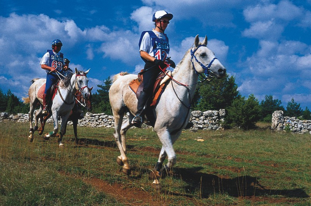
The “Florac 130 km” was the first European endurance horse race, organised by the Cévennes National Park , in 1975.
A version of the “Florac 160 km”. The route is identical until Le Fraïsse on the Causse Méjean; from there, you make your way directly downhill to Ispagnac, without going via the Causse de Sauveterre.

- Distance 133.18 km
- Elevation gain 3210 m
- Elevation lost 3210 m
- Min. elevation 500 m
- Max. elevation. 1563 m
- Duration (depending on pace) 92h
- Suivre le balisage Yes

From Ispagnac, follow the same route as the “Florac 160 km”. The trails diverge at Le Fraïsse on the Causse Méjean: at Le Fraïsse, continue straight ahead to join up with the D 16. At that road, turn right towards Chanet airfield, and go alongside it on the inside. At the crossroads of the D 16 with the D 63, take the track on the left to join up with the road. Stay on the road for a few metres before turning right onto the track signposted "Costecalde - La Garde". Before you arrive at La Citerne, take the left-hand track to reach the Cambolairo gully. In the gully, take the path on the right (yellow-and-red waymarks) to the D 68. Turn left onto this road, then turn right onto La Condamine track. Continue straight ahead on this track until you reach Tomple. As you leave Tomple, turn left, then left again (watch out for the cattle grid – go through the gate) and go downhill on the forestry track that leads to Les Taillades and then to Quézac. As you leave Quézac, cross the bridge before forking right to go along the river and back up into Ispagnac.
Parking : Ispagnac
Get all the routes on your smartphone with the Lozère outdoor app. You'll find all outdoor activities (summer and winter seasons) and a host of functions :
- Take advantage of detailed IGN maps
- Download data for consultation even when you're not connected to the network
- Geolocate yourself at any time on the route and altimeter profile
- Activate the off-track alarm to be alerted if you stray from the itinerary
- Share your experience (add a report, share your lap time)...


the digital trails


![]()
The Lozère Outdoor application was created
by the Lozère Department
Infos & contacts
Conseil départemental de la Lozère
sportsnature@lozere.fr
+33(0)4 66 49 66 32
Crédits photos
 Lozère Outdoor - Parcours - Florac 130 km (on horseback)
Lozère Outdoor - Parcours - Florac 130 km (on horseback)
Lozère Outdoor - Parcours - Florac 130 km (on horseback)
Lozère Outdoor - Parcours - Florac 130 km (on horseback)
Lozère Outdoor - Parcours - Florac 130 km (on horseback)

