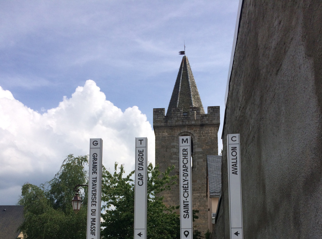
Grande Traversée du Massif Central - Liaison Saint Chély d'Apcher
Add to my favorites

Route opened

La Grande Traversée du Massif Central, une itinérance à partager.
The characteristics of the route.

Place du Foirail de St Chely d'Apcher (48)
- Distance 26.48 km
- Elevation gain 980 m
- Elevation lost 500 m
- Min. elevation 889 m
- Max. elevation. 1453 m
- Duration (depending on pace) 24h
- Suivre le balisage Yes

Area : Margeride
Report a problem
THIS ROUTE IN YOUR MOBILE PHONE
Download Lozère Outdoor app
Get all the routes on your smartphone with the Lozère outdoor app. You'll find all outdoor activities (summer and winter seasons) and a host of functions :
- Take advantage of detailed IGN maps
- Download data for consultation even when you're not connected to the network
- Geolocate yourself at any time on the route and altimeter profile
- Activate the off-track alarm to be alerted if you stray from the itinerary
- Share your experience (add a report, share your lap time)...

Add your time and share your feelings



Follow us on
the digital trails
the digital trails


The Lozère Outdoor application was created
by the Lozère Department
Infos & contacts
Conseil départemental de la Lozère
sportsnature@lozere.fr
+33(0)4 66 49 66 32
Crédits photos
 Lozère Outdoor - Parcours - Grande Traversée du Massif Central - Liaison Saint Chély d'Apcher
Hello, world! This is a toast message.
Lozère Outdoor - Parcours - Grande Traversée du Massif Central - Liaison Saint Chély d'Apcher
Hello, world! This is a toast message.
Lozère Outdoor - Parcours - Grande Traversée du Massif Central - Liaison Saint Chély d'Apcher
Hello, world! This is a toast message.


OK
Annuler