
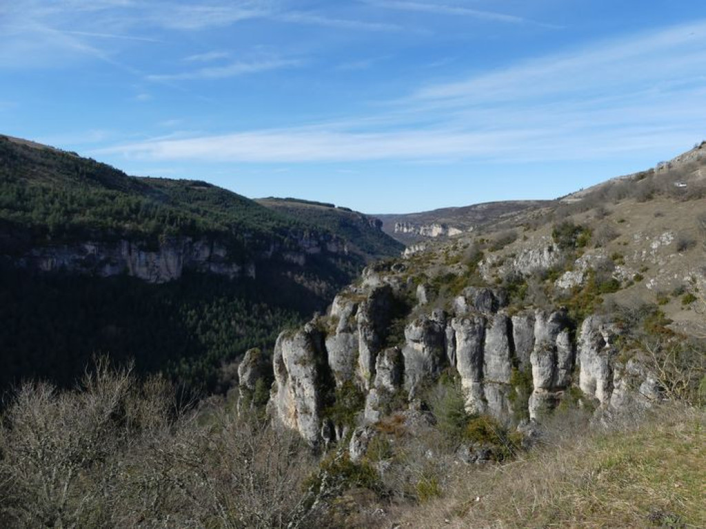
It’s uphill to the Col de Perjuret pass – and then another burst of effort to get onto the Causse plateau. From there on, the landscape is all cultivated large open spaces, where the harshness of the land makes itself felt. Look around: on the right, the Nîmes-le-Vieux block field; on the left, the Aigoual massif; and below, the Jonte gorge!
A regular but quite long climb brings you onto the Causse Méjean plateau, where you will find a landscape not unlike Mongolia !

- Distance 29.9 km
- Elevation gain 550 m
- Elevation lost 550 m
- Min. elevation 696 m
- Max. elevation. 1090 m
- Duration (depending on pace) 2h
- Marking No
From Meyrueis, take the D996 to the Col de Perjuret pass.
- At the Col de Perjuret, turn left onto the D18 towards Aures/Galy. Pass La Citerne and Costeguison.
- Turn left onto the D986 to go back down to Meyrueis.
Parking : Car park in the village.
Get all the routes on your smartphone with the Lozère outdoor app. You'll find all outdoor activities (summer and winter seasons) and a host of functions :
- Take advantage of detailed IGN maps
- Download data for consultation even when you're not connected to the network
- Geolocate yourself at any time on the route and altimeter profile
- Activate the off-track alarm to be alerted if you stray from the itinerary
- Share your experience (add a report, share your lap time)...


the digital trails


![]()
The Lozère Outdoor application was created
by the Lozère Department
Infos & contacts
Conseil départemental de la Lozère
sportsnature@lozere.fr
+33(0)4 66 49 66 32
Crédits photos
 Lozère Outdoor - Parcours - Incursion sur le Méjean
Lozère Outdoor - Parcours - Incursion sur le Méjean
Lozère Outdoor - Parcours - Incursion sur le Méjean
Lozère Outdoor - Parcours - Incursion sur le Méjean
Lozère Outdoor - Parcours - Incursion sur le Méjean

