Marijoulet de Chanac - VTT n°5
Add to my favorites

Route opened
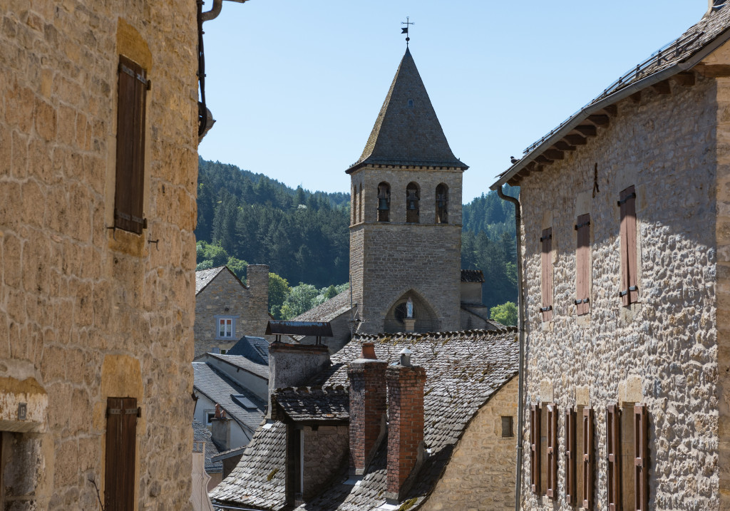
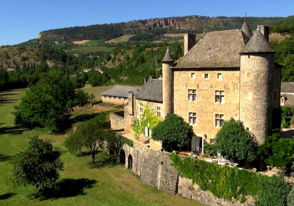
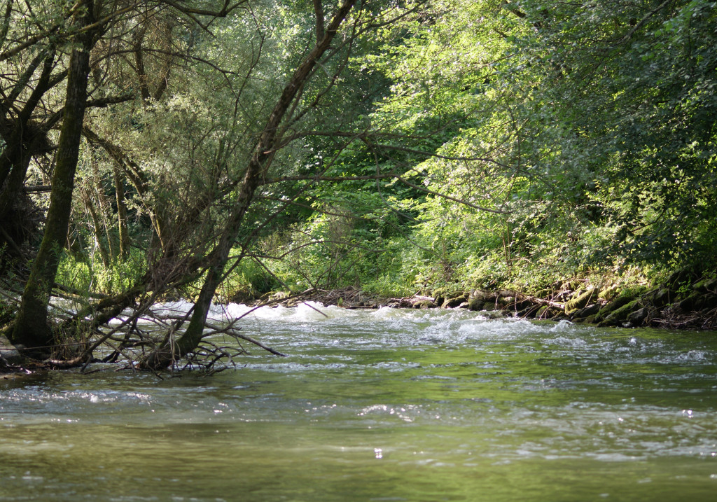
Lors de ce court circuit VTT, vous découvrirez le pittoresque village de Chanac et longerez la calme rivière du Lot pour retrouver le petit village de Marijoulet et son patrimoine typique.
Petit circuit facile longeant le Lot , au coeur de Chanac et du hameau de Marijoulet.
Circuit VTT N°5 (balisage vert)
The characteristics of the route.

Devant l'Office de tourisme de Chanac (48)
- Distance 8.24 km
- Elevation gain 110 m
- Elevation lost 120 m
- Min. elevation 621 m
- Max. elevation. 679 m
- Duration (depending on pace) 1h30
- Suivre le balisage Yes

Parking : Parking face à l'Office de tourisme de Chanac
Area : Causses et Gorges
Report a problem
Pdf file THIS ROUTE IN YOUR MOBILE PHONE
Download Lozère Outdoor app
Get all the routes on your smartphone with the Lozère outdoor app. You'll find all outdoor activities (summer and winter seasons) and a host of functions :
- Take advantage of detailed IGN maps
- Download data for consultation even when you're not connected to the network
- Geolocate yourself at any time on the route and altimeter profile
- Activate the off-track alarm to be alerted if you stray from the itinerary
- Share your experience (add a report, share your lap time)...

Add your time and share your feelings


Follow us on
the digital trails
the digital trails


![]()
The Lozère Outdoor application was created
by the Lozère Department
Infos & contacts
Conseil départemental de la Lozère
sportsnature@lozere.fr
+33(0)4 66 49 66 32
Crédits photos
 Lozère Outdoor - Parcours - Marijoulet de Chanac - VTT n°5
Hello, world! This is a toast message.
Lozère Outdoor - Parcours - Marijoulet de Chanac - VTT n°5
Hello, world! This is a toast message.
Lozère Outdoor - Parcours - Marijoulet de Chanac - VTT n°5
Hello, world! This is a toast message.


OK
Annuler