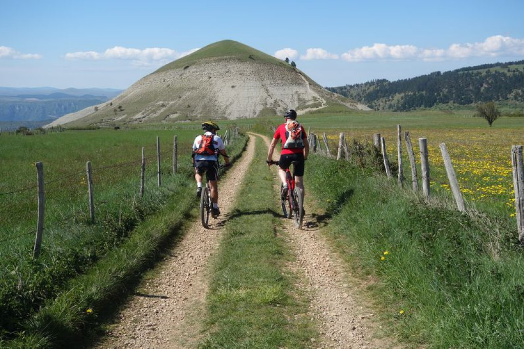
All sides of the Eschine d'Aze can be seen from this route, which brings together all aspects of mountain-biking: stony track and technical path. You will need strong legs!
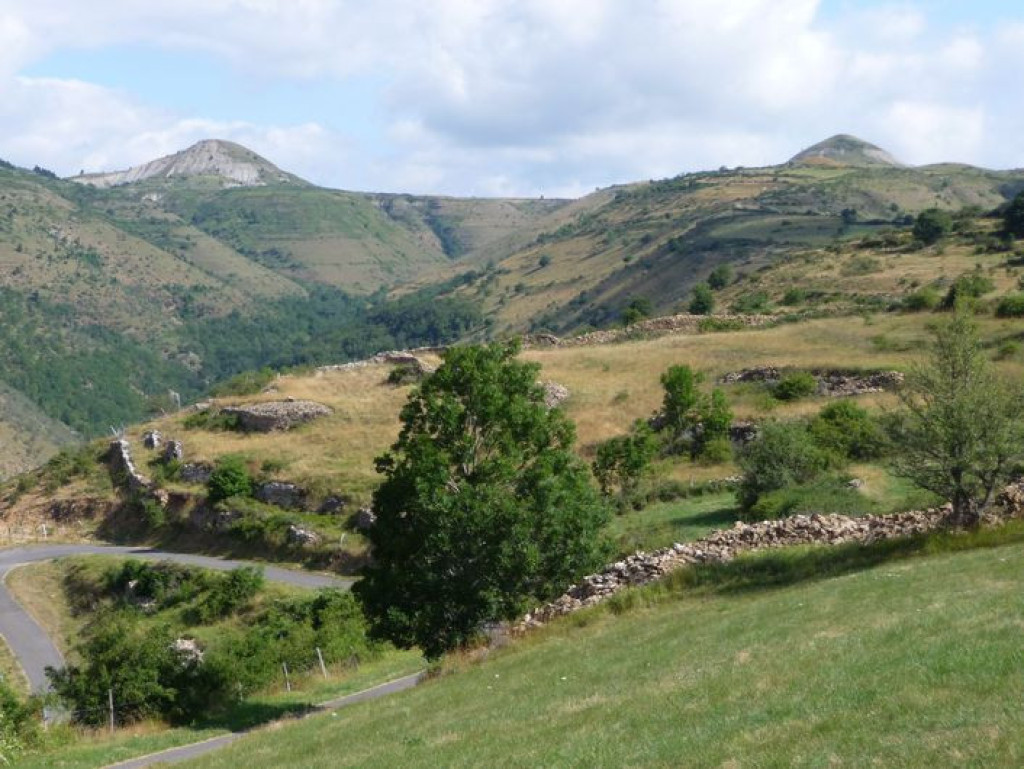
Te Tour des Puechs is for mountain-bikers looking for a challenge. A warm-up stretch on the small lane to La Baume leads up to a long ascent to Issenges, which is strenuous because it is initially so steep. As you pass below the Eschine d'Aze, you get a good look at the two buttes of Les Bondons, local geological curiosities.

- Distance 23.59 km
- Elevation gain 860 m
- Elevation lost 860 m
- Min. elevation 551 m
- Max. elevation. 1179 m
- Duration (depending on pace) 4h
- Suivre le balisage Yes

Mountain-bike route #11. From the car park at the village hall, exit right onto the D 998. After a few metres, turn right towards La Baume. Immediately after the bridge, turn left and cycle along the Tarn to the Terre Rouge housing scheme. Before you get to the village de vacances (holiday village), turn right for the climb towards Issenges (GR 43). Keep going straight. Below the Eschine d'Aze, follow the track on the right towards Les Puechs. Before you get to the D 135, take the track on the right to go downhill to Malaval and then Malbosc. Take the road leading to Chadenet and go downhill on a magnificent path that will take you to Cocurès. Join up with the D 998 and cross the bridge to return to Bédouès.
Parking : Car park at the village hall in Bédouès
Get all the routes on your smartphone with the Lozère outdoor app. You'll find all outdoor activities (summer and winter seasons) and a host of functions :
- Take advantage of detailed IGN maps
- Download data for consultation even when you're not connected to the network
- Geolocate yourself at any time on the route and altimeter profile
- Activate the off-track alarm to be alerted if you stray from the itinerary
- Share your experience (add a report, share your lap time)...




the digital trails


The Lozère Outdoor application was created
by the Lozère Department
Infos & contacts
Conseil départemental de la Lozère
sportsnature@lozere.fr
+33(0)4 66 49 66 32
Crédits photos
 Lozère Outdoor - Parcours - The Tour des Puechs (by mountain-bike)
Lozère Outdoor - Parcours - The Tour des Puechs (by mountain-bike)
Lozère Outdoor - Parcours - The Tour des Puechs (by mountain-bike)
Lozère Outdoor - Parcours - The Tour des Puechs (by mountain-bike)
Lozère Outdoor - Parcours - The Tour des Puechs (by mountain-bike)