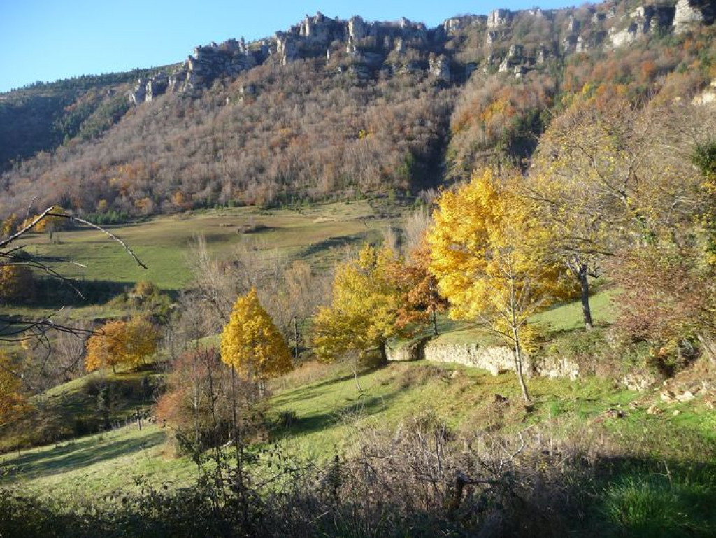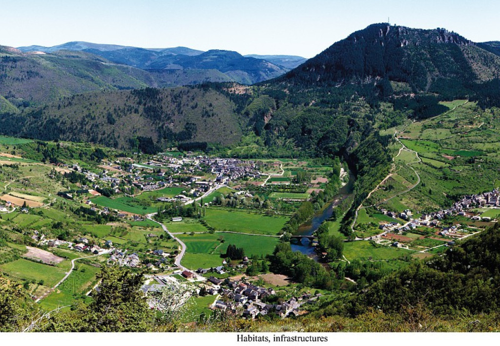
Le Single trail goes around the summit of the same name, part limestone part schist, and offers numerous viewpoints over the upper Tarn valley and Mont Lozère.
Entre calcaire et schiste, le Single fait le tour du sommet du même nom. Il offre de nombreux points de vue sur la haute vallée du Tarn et le mont Lozère.
- Distance 23.22 km
- Elevation gain 760 m
- Elevation lost 760 m
- Min. elevation 500 m
- Max. elevation. 1031 m
- Duration (depending on pace) 3h30
- Suivre le balisage Yes

Mountain-bike route #5. Quite smooth despite a descent on a single-lane and stony path. From Ispagnac, cycle to Quézac via the town gardens. Then climb to Javillet and continue on the forestry track to reach Le Tomple. Take the lane on the left (do not go through the hamlet) that joins up with the D 16 road. Go downhill on a stony single-track path to reach a track that leads to Monteils. Go downhill towards Salièges; turn left before you arrive at Salièges and take the path towards Fayet. Bike along the Tarn on this track to Fayet, Bieissette and then Ispagnac.
Parking : Car park opposite the pharmacy
Get all the routes on your smartphone with the Lozère outdoor app. You'll find all outdoor activities (summer and winter seasons) and a host of functions :
- Take advantage of detailed IGN maps
- Download data for consultation even when you're not connected to the network
- Geolocate yourself at any time on the route and altimeter profile
- Activate the off-track alarm to be alerted if you stray from the itinerary
- Share your experience (add a report, share your lap time)...




the digital trails


The Lozère Outdoor application was created
by the Lozère Department
Infos & contacts
Conseil départemental de la Lozère
sportsnature@lozere.fr
+33(0)4 66 49 66 32
Crédits photos
 Lozère Outdoor - Parcours - Le Single (by mountain-bike)
Lozère Outdoor - Parcours - Le Single (by mountain-bike)
Lozère Outdoor - Parcours - Le Single (by mountain-bike)
Lozère Outdoor - Parcours - Le Single (by mountain-bike)
Lozère Outdoor - Parcours - Le Single (by mountain-bike)