
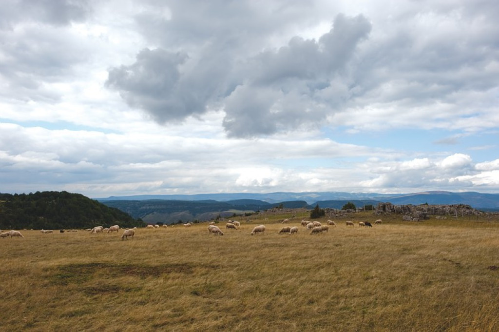
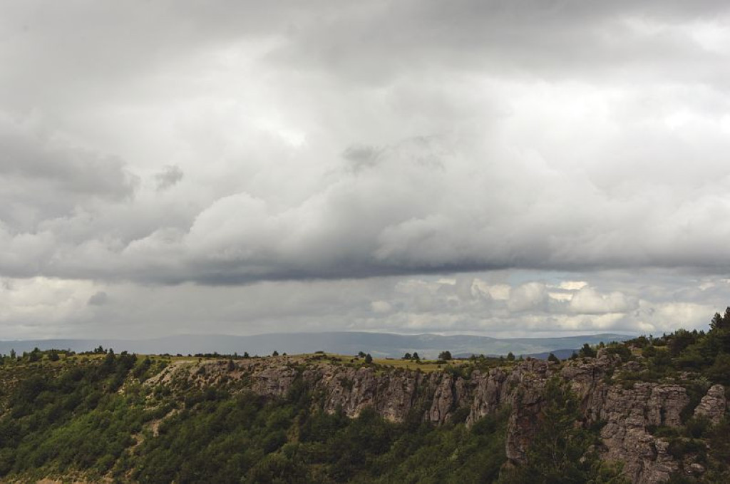
This trail crosses an old beech forest, which is part of Le Marquaires forest nature reserve, and thus monitored particularly closely by the Cévennes National Park and the Office National des Forêts.
- Distance 30.54 km
- Elevation gain 800 m
- Elevation lost 800 m
- Min. elevation 635 m
- Max. elevation. 1144 m
- Duration (depending on pace) 4h
- Suivre le balisage Yes

Mountain-bike route #15. From the village, take the D 907 for 4 km towards the Tunnel du Marquaires. Before the tunnel, fork right towards the Le Marquaires forester's house and continue on the forestry track to Gaseiral. Take the road uphill to the Col de Salides and there take the ridge track on the left to L'Hospitalet (GR 7). Go down to Vébron (don't hill to the Moulin d'Astier), cross the Tarnon and join up again with the D 907 to Gua. Cross Gua and cycle along the river Tarnon to get to Prat Nouvel and then to Rousses.
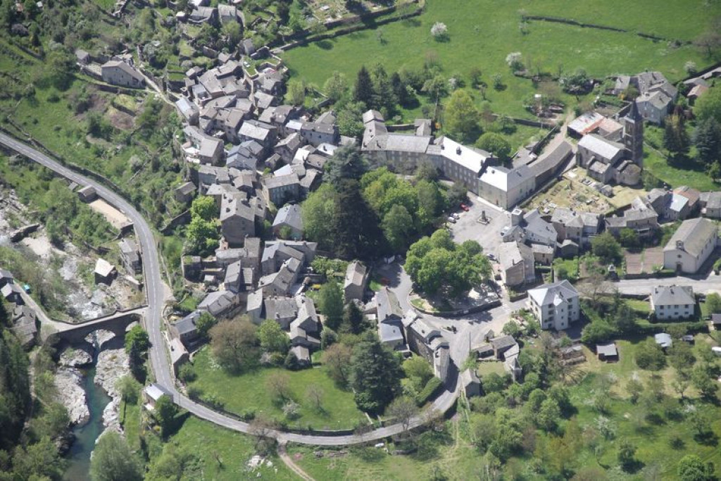
Parking : Car park close to the Café "La Ruche"
Get all the routes on your smartphone with the Lozère outdoor app. You'll find all outdoor activities (summer and winter seasons) and a host of functions :
- Take advantage of detailed IGN maps
- Download data for consultation even when you're not connected to the network
- Geolocate yourself at any time on the route and altimeter profile
- Activate the off-track alarm to be alerted if you stray from the itinerary
- Share your experience (add a report, share your lap time)...


the digital trails


![]()
The Lozère Outdoor application was created
by the Lozère Department
Infos & contacts
Conseil départemental de la Lozère
sportsnature@lozere.fr
+33(0)4 66 49 66 32
Crédits photos
 Lozère Outdoor - Parcours - The Camisards (by mountain-bike)
Lozère Outdoor - Parcours - The Camisards (by mountain-bike)
Lozère Outdoor - Parcours - The Camisards (by mountain-bike)
Lozère Outdoor - Parcours - The Camisards (by mountain-bike)
Lozère Outdoor - Parcours - The Camisards (by mountain-bike)

