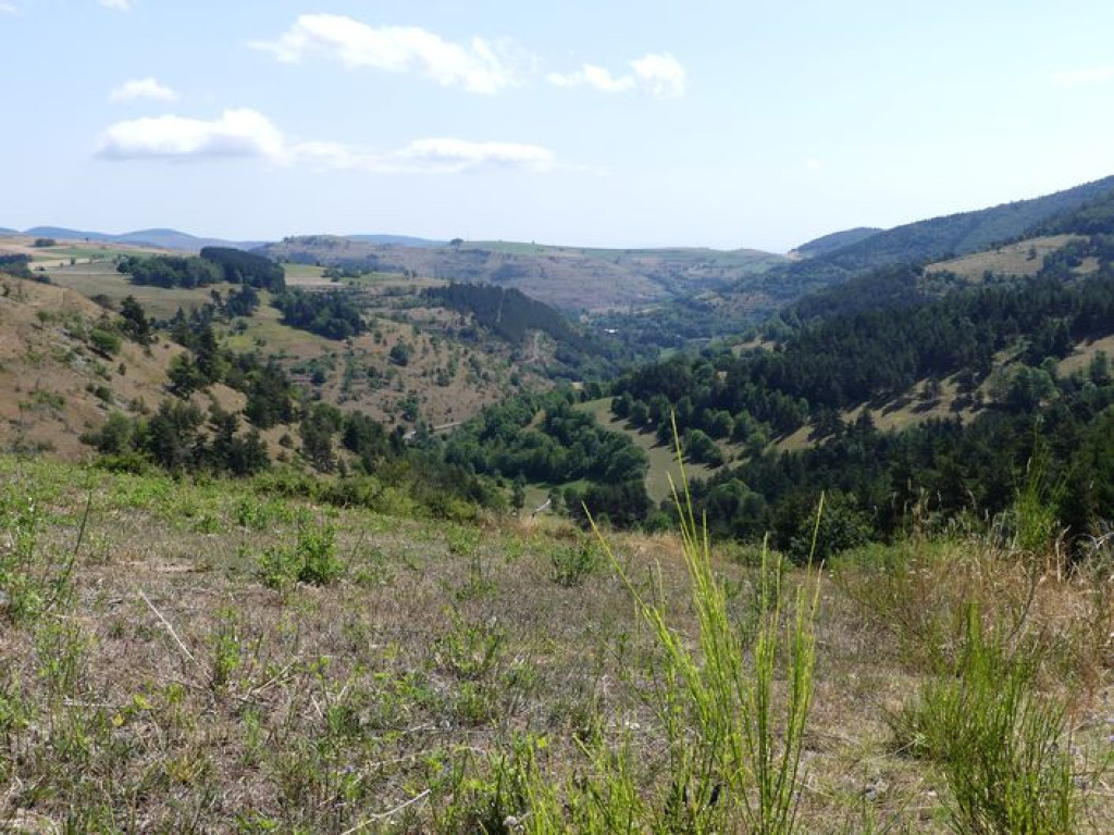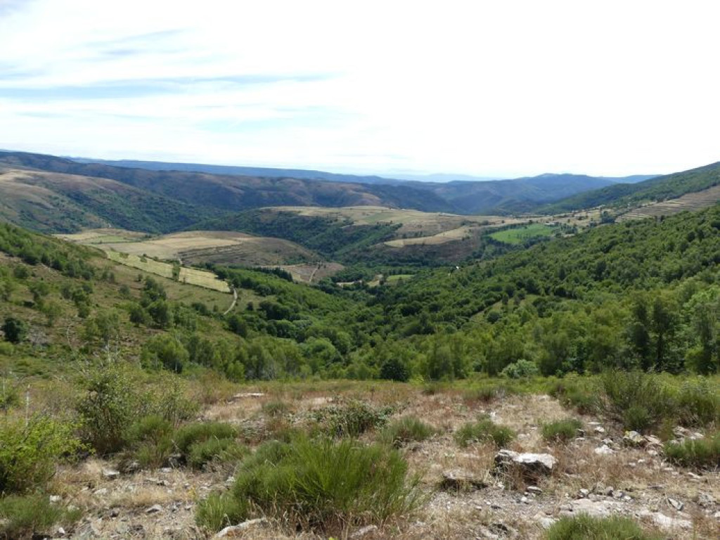
This rather athletic circuit crosses the state forests of Mont Lozère and Le Goulet, the two emblematic massifs of the department.
Un parcours assez sportif avec de belles vues dominantes, au départ, comme à l'arrivée au col de Finiels (1541 m). L'essentiel de la boucle se fait sur piste en passant par les forêts domaniales du Mont Lozère et du Goulett.
Trois départs possibles: D1 (Col de Finiels), D2 ( Station du mont Lozère), D3 (Cubières)

- Distance 18.12 km
- Elevation gain 610 m
- Elevation lost 610 m
- Min. elevation 973 m
- Max. elevation. 1560 m
- Duration (depending on pace) 3h
- Suivre le balisage Yes

Follow the MTB n°15 waymarks
Signposts will guide you all along this route, as well as yellow painted waymarks. In the description below, the signposted place names and/or directions are given in bold italics between quotation marks :
Starting-point at Col de Finiels, but departure from La station du Mont Lozère (D2) or Cubières (D3) also possible.
Starting from “Col de Finiels”, bike downhill to “Station du Mont Lozère”, D2, via :
- “Sous le col de Finiels”,
- “Plan des Gours”,
- “La chapelle du Mont-Lozère”.
- At “Station du Mont-Lozère”, continue to “Cubières” via :
- “La Massola”,
- “Col Santel”,
- “Le Réservoir”.
- At “Cubières”, D3, bike through the village following :
- “Village” and continue to :
- “Pelloufet” and turn right to :
- “Bois du Mathieu”. At “Bois du Mathieu”, climb to “Col de Finiels” via :
- “Louzero de Broussoux”,
- “Ancienne Voie Romaine”.
This MTB circuit is taken from the guidebook Mont Lozère – Pays des sources, de la montagne du Goulet aux gorges du Bramont, published by the Pôle de pleine nature du Mont Lozère.
Parking : Mairie (village hall) in Lanuéjols
Get all the routes on your smartphone with the Lozère outdoor app. You'll find all outdoor activities (summer and winter seasons) and a host of functions :
- Take advantage of detailed IGN maps
- Download data for consultation even when you're not connected to the network
- Geolocate yourself at any time on the route and altimeter profile
- Activate the off-track alarm to be alerted if you stray from the itinerary
- Share your experience (add a report, share your lap time)...




the digital trails


The Lozère Outdoor application was created
by the Lozère Department
Infos & contacts
Conseil départemental de la Lozère
sportsnature@lozere.fr
+33(0)4 66 49 66 32
Crédits photos
 Lozère Outdoor - Parcours - Lozeret Wood, MTB circuit #15 (red)
Lozère Outdoor - Parcours - Lozeret Wood, MTB circuit #15 (red)
Lozère Outdoor - Parcours - Lozeret Wood, MTB circuit #15 (red)
Lozère Outdoor - Parcours - Lozeret Wood, MTB circuit #15 (red)
Lozère Outdoor - Parcours - Lozeret Wood, MTB circuit #15 (red)