
Villefort, a one-road village at the foot of Mont Lozère, was built along a north-south geological fault between granite bedrock and schist. Its location on the Regordane Way, which was an economic and cultural artery during the Middle Ages, stimulated its growth. Villefort experienced another boom around 1860, becoming a true commercial hub of the Cévennes, when its train station – one of the main stations of the railway through the Cévennes – was built.
Built at the foot of Mont Lozère on the Regordane Way, Villefort has developed its own forms of architecture, which make use of both schist and granite.

- Distance 1.52 km
- Elevation gain 40 m
- Elevation lost 40 m
- Min. elevation 574 m
- Max. elevation. 607 m
- Duration (depending on pace) 1h
- Marking No
A few clarifications:
• To reach Panels 5 (How the village is arranged) and 6 (Paris-Marseille train line), go up Rue du Chazalet and take the first lane on the right. Take a small path (GR 44) that climbs about 50 m to the viewpoint.
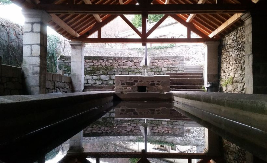
• To get to Panel 13 (River network), continue along Impasse du Lavoir and take the first road on the left, which heads downhill to the river.
Parking : On the main square
Get all the routes on your smartphone with the Lozère outdoor app. You'll find all outdoor activities (summer and winter seasons) and a host of functions :
- Take advantage of detailed IGN maps
- Download data for consultation even when you're not connected to the network
- Geolocate yourself at any time on the route and altimeter profile
- Activate the off-track alarm to be alerted if you stray from the itinerary
- Share your experience (add a report, share your lap time)...


the digital trails


![]()
The Lozère Outdoor application was created
by the Lozère Department
Infos & contacts
Conseil départemental de la Lozère
sportsnature@lozere.fr
+33(0)4 66 49 66 32
Crédits photos
 Lozère Outdoor - Parcours - Villefort
Lozère Outdoor - Parcours - Villefort
Lozère Outdoor - Parcours - Villefort
Lozère Outdoor - Parcours - Villefort
Lozère Outdoor - Parcours - Villefort

