This path has rocky and vertiginous sections. For your own safety, you must stay on the waymarked pa
Add to my favorites

Route opened
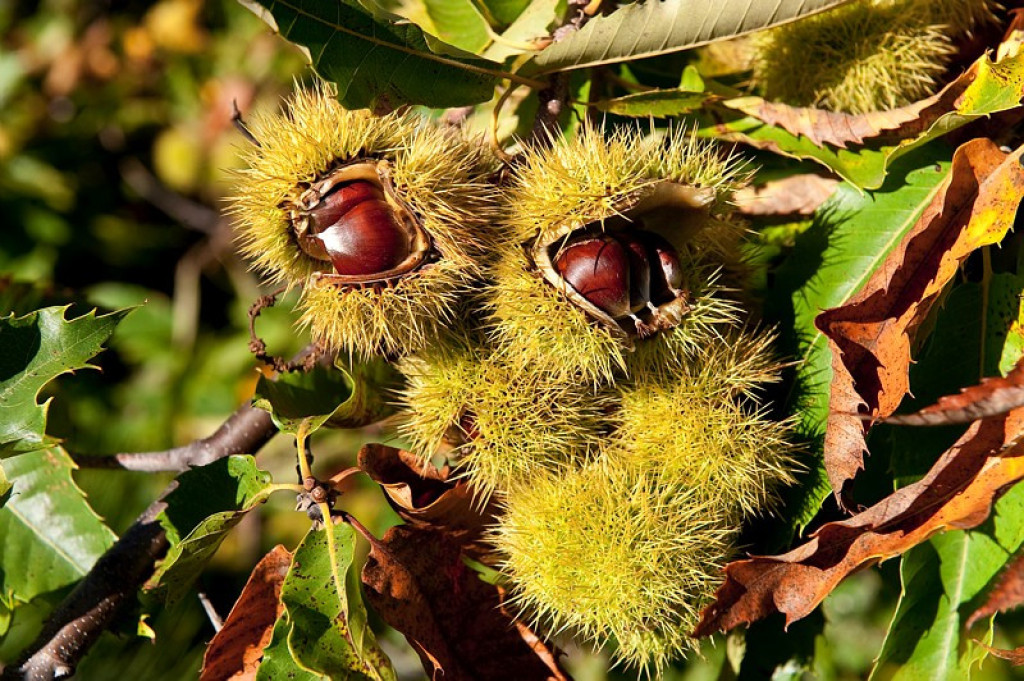
Having been abandoned for over a century, the chestnut grove at L'Espinas is today being restored. The association Épi de Main raises awareness of modern chestnut farming and of the preservation of chestnut orchards in the Cévennes. This short walk of 11 stages shines a light on the past and examines the future of this emblematic local tree.
The revival of the Cévennes chestnut orchard on traditional terraces.
The characteristics of the route.

Relais de l'Espinas (48)
- Distance 0.84 km
- Elevation gain 50 m
- Elevation lost 50 m
- Min. elevation 853 m
- Max. elevation. 898 m
- Duration (depending on pace) 1h30
- Marking No
The path enters the chestnut orchard below the Relais de L'Espinas before crossing the traditional terraces and overlapping with the path dedicated to dry-stoning.
Parking : Car park for the Relais de L'Espinas (100m on foot).
Parking : Car park for the Relais de L'Espinas (100m on foot).
Area : Cévennes et Mont Lozère
Report a problem
Pdf file THIS ROUTE IN YOUR MOBILE PHONE
Download Lozère Outdoor app
Get all the routes on your smartphone with the Lozère outdoor app. You'll find all outdoor activities (summer and winter seasons) and a host of functions :
- Take advantage of detailed IGN maps
- Download data for consultation even when you're not connected to the network
- Geolocate yourself at any time on the route and altimeter profile
- Activate the off-track alarm to be alerted if you stray from the itinerary
- Share your experience (add a report, share your lap time)...

Add your time and share your feelings


Follow us on
the digital trails
the digital trails


![]()
The Lozère Outdoor application was created
by the Lozère Department
Infos & contacts
Conseil départemental de la Lozère
sportsnature@lozere.fr
+33(0)4 66 49 66 32
Crédits photos
 Lozère Outdoor - Parcours - This path has rocky and vertiginous sections. For your own safety, you must stay on the waymarked pa
Hello, world! This is a toast message.
Lozère Outdoor - Parcours - This path has rocky and vertiginous sections. For your own safety, you must stay on the waymarked pa
Hello, world! This is a toast message.
Lozère Outdoor - Parcours - This path has rocky and vertiginous sections. For your own safety, you must stay on the waymarked pa
Hello, world! This is a toast message.


OK
Annuler