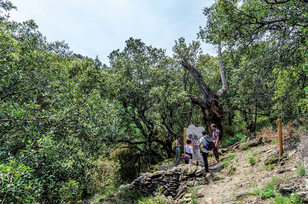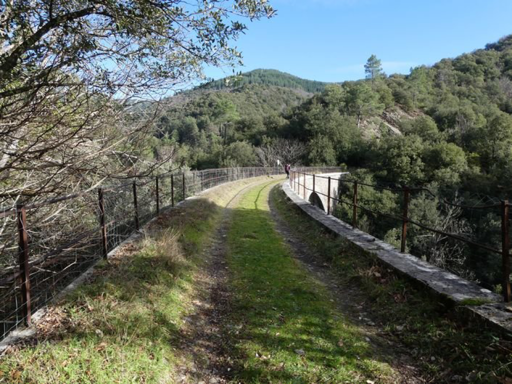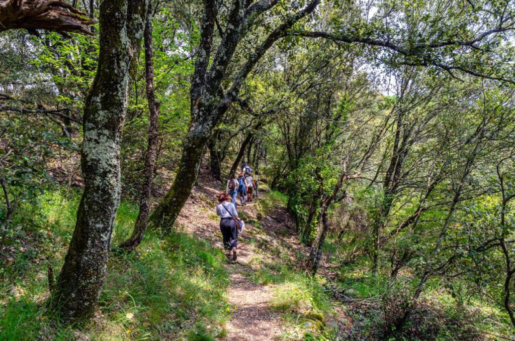
Leave behind the agitation of the main road to plunge into the quiet of this refreshing ravine. As you come out of the maze of terraces, let the former railroad (now left to evolve naturally) guide you.
In this steep-sided ravine overlooked by an impressive rail bridge, human activities have long worked together with the whims of the Mediterranean climate to create an astonishing ecosystem. This walk will guide your first steps as a naturalist, between the proliferation of nature in constant evolution and the tranquil remains of the past.

- Distance 1.99 km
- Elevation gain 90 m
- Elevation lost 90 m
- Min. elevation 417 m
- Max. elevation. 478 m
- Duration (depending on pace) 1h
- Marking No
Parking : Parking spaces close to Champernal bridge
Get all the routes on your smartphone with the Lozère outdoor app. You'll find all outdoor activities (summer and winter seasons) and a host of functions :
- Take advantage of detailed IGN maps
- Download data for consultation even when you're not connected to the network
- Geolocate yourself at any time on the route and altimeter profile
- Activate the off-track alarm to be alerted if you stray from the itinerary
- Share your experience (add a report, share your lap time)...




the digital trails


The Lozère Outdoor application was created
by the Lozère Department
Infos & contacts
Conseil départemental de la Lozère
sportsnature@lozere.fr
+33(0)4 66 49 66 32
Crédits photos
 Lozère Outdoor - Parcours - The secret ravine of Champernal
Lozère Outdoor - Parcours - The secret ravine of Champernal
Lozère Outdoor - Parcours - The secret ravine of Champernal
Lozère Outdoor - Parcours - The secret ravine of Champernal
Lozère Outdoor - Parcours - The secret ravine of Champernal