
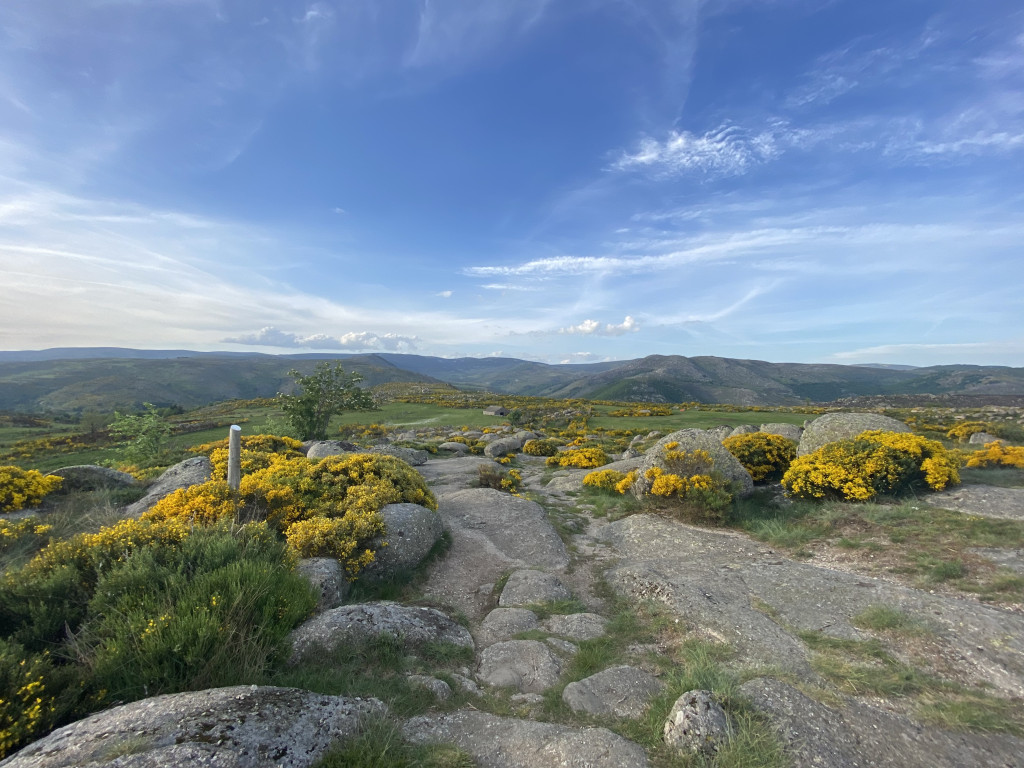
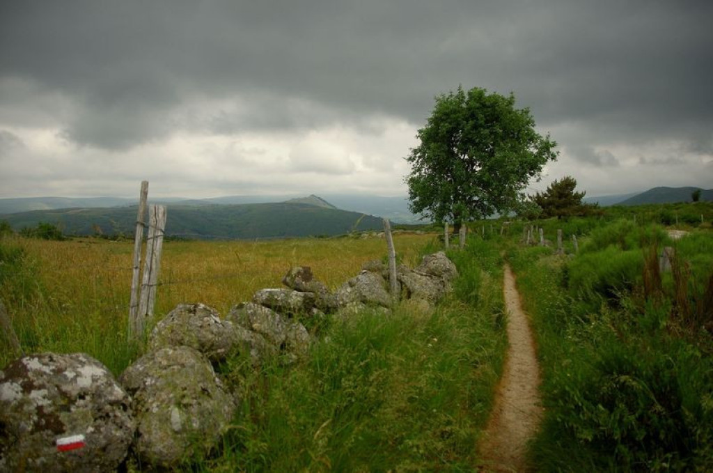
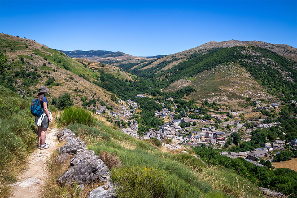
The Cham de l'Hermet, on the north slope of the Bougès, showcases the diverse landscapes of the Tarn valley, including the L'Hermet plateau where the handsome granite hamlet of the same name is situated. The downhill section towards Le-Pont-de-Montvert offers magnificent panoramic views onto the entire Mont Lozère mountain range with its highest point, Pic de Finiels (1,699 m).
This walk passes through very diverse landscapes and lets you explore the complex interactions between mankind and nature.

- Distance 7.87 km
- Elevation gain 270 m
- Elevation lost 270 m
- Min. elevation 872 m
- Max. elevation. 1108 m
- Duration (depending on pace) 3h
- Marking No
Start at the Tour de l'horloge (clocktower), cross the bridge over the Tarn and turn right.
Parking : Car parks at the temple (Protestant church) or Catholic church
Get all the routes on your smartphone with the Lozère outdoor app. You'll find all outdoor activities (summer and winter seasons) and a host of functions :
- Take advantage of detailed IGN maps
- Download data for consultation even when you're not connected to the network
- Geolocate yourself at any time on the route and altimeter profile
- Activate the off-track alarm to be alerted if you stray from the itinerary
- Share your experience (add a report, share your lap time)...


the digital trails


![]()
The Lozère Outdoor application was created
by the Lozère Department
Infos & contacts
Conseil départemental de la Lozère
sportsnature@lozere.fr
+33(0)4 66 49 66 32
Crédits photos
 Lozère Outdoor - Parcours - The Cham de l'Hermet plateau
Lozère Outdoor - Parcours - The Cham de l'Hermet plateau
Lozère Outdoor - Parcours - The Cham de l'Hermet plateau
Lozère Outdoor - Parcours - The Cham de l'Hermet plateau
Lozère Outdoor - Parcours - The Cham de l'Hermet plateau

