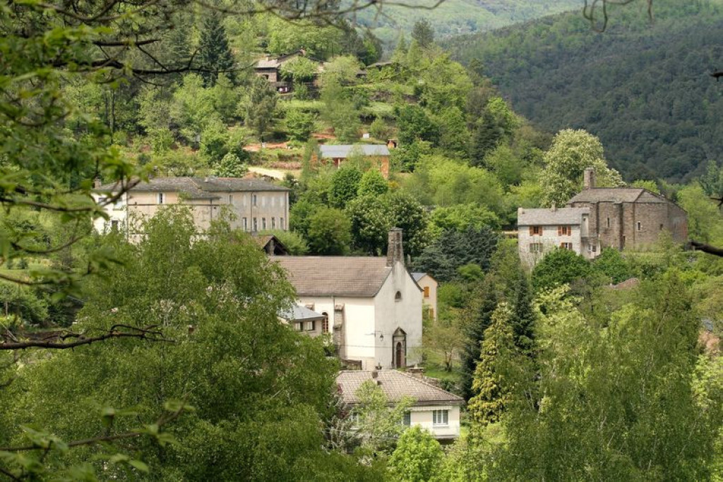
A circuit that explores life in the village of Sainte-Croix-Vallée-Française in the 1930s.
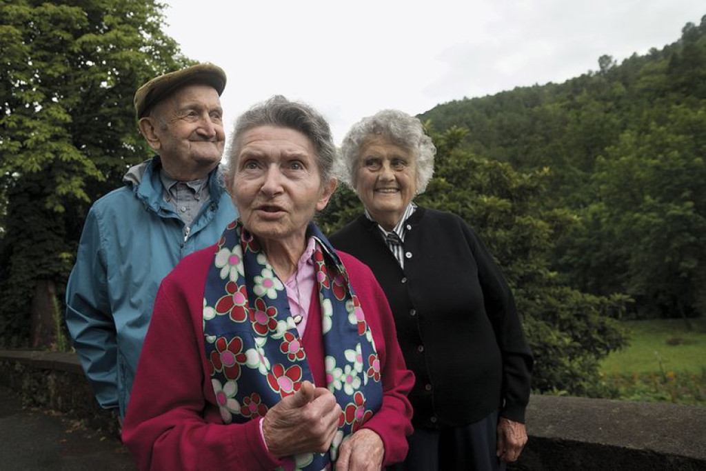
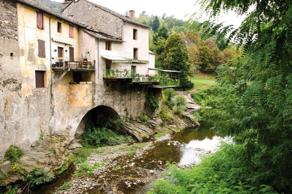
In the 1930s, Sainte-Croix-Vallée-Française was a hive of activity: crafting, farming and festivities. The Gardon river reflected the houses, and set the rhythm of life. A circuit of 21 audio points lets you to explore the villagers’ daily life as told by oral history. Some 30 works by regional artists illustrate the economic activity of the time.

- Distance 2.18 km
- Elevation gain 50 m
- Elevation lost 50 m
- Min. elevation 325 m
- Max. elevation. 346 m
- Duration (depending on pace) 1h30
- Marking No
Get all the routes on your smartphone with the Lozère outdoor app. You'll find all outdoor activities (summer and winter seasons) and a host of functions :
- Take advantage of detailed IGN maps
- Download data for consultation even when you're not connected to the network
- Geolocate yourself at any time on the route and altimeter profile
- Activate the off-track alarm to be alerted if you stray from the itinerary
- Share your experience (add a report, share your lap time)...




the digital trails


The Lozère Outdoor application was created
by the Lozère Department
Infos & contacts
Conseil départemental de la Lozère
sportsnature@lozere.fr
+33(0)4 66 49 66 32
Crédits photos
 Lozère Outdoor - Parcours - Trail of Memories
Lozère Outdoor - Parcours - Trail of Memories
Lozère Outdoor - Parcours - Trail of Memories
Lozère Outdoor - Parcours - Trail of Memories
Lozère Outdoor - Parcours - Trail of Memories