
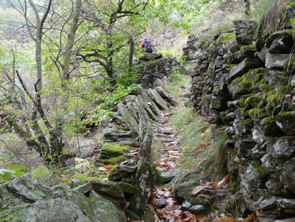
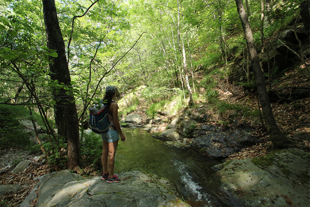
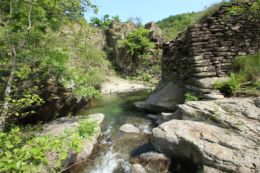
A small loop around the river Luech that goes through the ore-rich fault zone between schist and granite and passes former mining sites.

- Distance 9.19 km
- Elevation gain 330 m
- Elevation lost 330 m
- Min. elevation 521 m
- Max. elevation. 724 m
- Duration (depending on pace) 3h
- Suivre le balisage Yes

Signposts will guide you all along this route, as well as yellow painted waymarks. In the description below, the signposted place names and/or directions are given in bold italics between quotation marks:
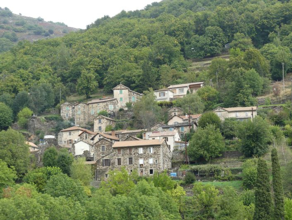
Starting at “Vialas”, walk to “Soleyrols” via :
- “Place de l’Ancienne Gendarmerie”,
- “La Vigne”,
- “Maison de retraite”
- “Rieutort” (2).
- At “Soleyrols”, Walk to
- “Ruisseau du Villaret”. Return to “Vialas” via :
- “Légaou”,
- “La Tranchée”,
- “Lou Devez”,
- “Plagette”, “La vigne” and “Place de l’Ancienne Gendarmerie”.
This hike is taken from the guidebook Mont Lozère – Pays des sources, Sommet des Cévennes, published by the Pôle de pleine nature du Mont Lozère.
Parking : Car parks in Vialas
Get all the routes on your smartphone with the Lozère outdoor app. You'll find all outdoor activities (summer and winter seasons) and a host of functions :
- Take advantage of detailed IGN maps
- Download data for consultation even when you're not connected to the network
- Geolocate yourself at any time on the route and altimeter profile
- Activate the off-track alarm to be alerted if you stray from the itinerary
- Share your experience (add a report, share your lap time)...


the digital trails


![]()
The Lozère Outdoor application was created
by the Lozère Department
Infos & contacts
Conseil départemental de la Lozère
sportsnature@lozere.fr
+33(0)4 66 49 66 32
Crédits photos
 Lozère Outdoor - Parcours - Soleyrols
Lozère Outdoor - Parcours - Soleyrols
Lozère Outdoor - Parcours - Soleyrols
Lozère Outdoor - Parcours - Soleyrols
Lozère Outdoor - Parcours - Soleyrols

