Ruas
Add to my favorites

Route opened
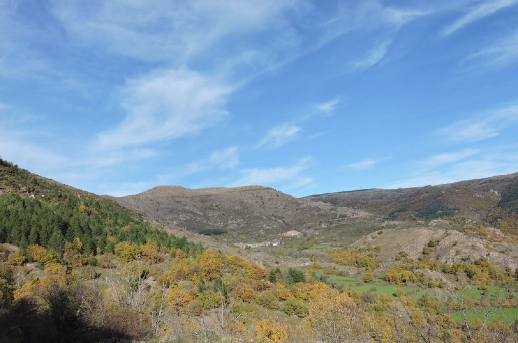
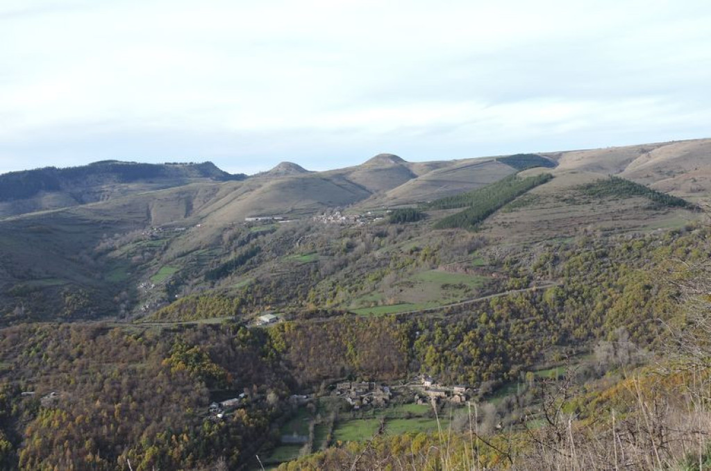
From up here, you can make out the waterfall at Runes, Miral Castle, the hillocks of Les Bondons, standing stones, the Lozerette waterfall and, on the opposite slope, the hamlets of Le Cros and Les Bondons.
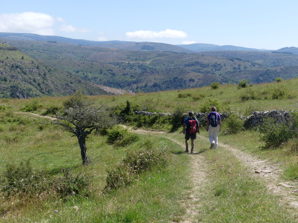
Incredible views over the valleys between Bédouès and the foothills of Mont Lozère – you will never tire of them !
The characteristics of the route.

Parking entre Ruas et l’embranchement de Chabrières (48)
- Distance 5.99 km
- Elevation gain 330 m
- Elevation lost 330 m
- Min. elevation 713 m
- Max. elevation. 1035 m
- Duration (depending on pace) 2h30
- Suivre le balisage Yes

Take the road downhill and, at the first crossroads, turn right onto the road that goes uphill to Chabrières.
- In Chabrières follow the track uphill to the reservoir to the foot of the hillock.
- Walk around Le Puech on the left and, by the water trough, veer slightly left to cross the field and reach the stile, which you use to get over the fence.
- Turn right onto the track for 1 km. At the junction, turn right and immediately go right to reach the plateau edge.
- To the left of the rock, take a small path on the left downhill to the village of Ruas.
- By the iron cross, the old path has become too overgrown; walk just below it to a ravine. By the stone cross, follow the path that runs alongside the brook on the left to reach the village.
- At the road, turn right to return to the starting-point.
Parking : Between Ruas and the Chabrières junction, on the verge (park diagonally).
Area : Cévennes et Mont Lozère
Report a problem
Pdf file THIS ROUTE IN YOUR MOBILE PHONE
Download Lozère Outdoor app
Get all the routes on your smartphone with the Lozère outdoor app. You'll find all outdoor activities (summer and winter seasons) and a host of functions :
- Take advantage of detailed IGN maps
- Download data for consultation even when you're not connected to the network
- Geolocate yourself at any time on the route and altimeter profile
- Activate the off-track alarm to be alerted if you stray from the itinerary
- Share your experience (add a report, share your lap time)...

Add your time and share your feelings


Follow us on
the digital trails
the digital trails


![]()
The Lozère Outdoor application was created
by the Lozère Department
Infos & contacts
Conseil départemental de la Lozère
sportsnature@lozere.fr
+33(0)4 66 49 66 32
Crédits photos
 Lozère Outdoor - Parcours - Ruas
Hello, world! This is a toast message.
Lozère Outdoor - Parcours - Ruas
Hello, world! This is a toast message.
Lozère Outdoor - Parcours - Ruas
Hello, world! This is a toast message.


OK
Annuler