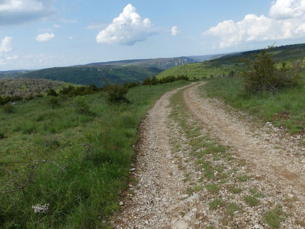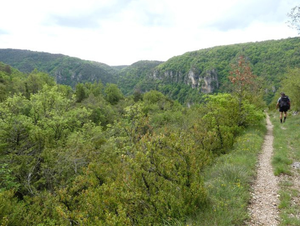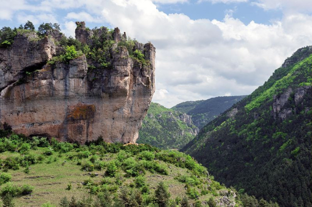
Explore the Jonte gorge, the Roc de Saint-Gervais sanctuary and typical hamlets.
Vous partirez à la découverte des gorges de la Jonte, du sanctuaire du Roc de Saint-Gervais et vous traverserez des villages typiques.
- Distance 10.66 km
- Elevation gain 510 m
- Elevation lost 510 m
- Min. elevation 494 m
- Max. elevation. 966 m
- Duration (depending on pace) 4h
- Suivre le balisage Yes

Start by crossing the parking area at Hyelzas.
1) Before the houses, take the track on the left; at the crossroads turn left again going downhill. Before the barrier, the path veers left and joins an old mule track, which continues downhill to the D 996.
2) Turn right onto the D 996, towards Le Rozier, to the hamlet of Les Douzes.
3) Just before the restaurant, take the stairs uphill between the houses to the sanctuary dedicated to St Gervase.
4) After visiting the sanctuary (retrace your steps), take the path on the left onto a flat area. Continue straight ahead on the path that goes up the ravine of Les Bastides, then cross the ravine and go uphill to the D 63 road.
5) Turn right onto the road for 500 m to the gate, and take the track on the left. Go past the gate. At the first crossroads, take a path on the right that goes uphill to the hamlet of Les Bastides.
6) In the hamlet, take the road on the right downhill to the D 63. Cross the D 63 to take the path opposite, which goes downhill for a few metres, then uphill to a track leading to Hyelzas.
7) Go past the front of the Caussenard farm, then turn right, then left, then right again to return to the parking area.
Parking : Parking area downstream of Les Douzes (on an abandoned section of the road)
Get all the routes on your smartphone with the Lozère outdoor app. You'll find all outdoor activities (summer and winter seasons) and a host of functions :
- Take advantage of detailed IGN maps
- Download data for consultation even when you're not connected to the network
- Geolocate yourself at any time on the route and altimeter profile
- Activate the off-track alarm to be alerted if you stray from the itinerary
- Share your experience (add a report, share your lap time)...




the digital trails


The Lozère Outdoor application was created
by the Lozère Department
Infos & contacts
Conseil départemental de la Lozère
sportsnature@lozere.fr
+33(0)4 66 49 66 32
Crédits photos
 Lozère Outdoor - Parcours - Roc Saint-Gervais
Lozère Outdoor - Parcours - Roc Saint-Gervais
Lozère Outdoor - Parcours - Roc Saint-Gervais
Lozère Outdoor - Parcours - Roc Saint-Gervais
Lozère Outdoor - Parcours - Roc Saint-Gervais