
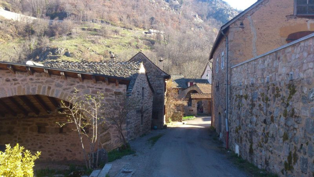
A hike along the slope of a small, steep-sided valley (valat) and on former paved tracks, in the Cévenol part of the district. It goes through hamlets that are built in turn from limestone, schist and granite, confirming that the cristalline and limestone zones meet at Ispagnac.
Explore an environment of ancient forests, stone paths, brooks and traditional hamlets. Panoramic views and heritage are in tune with each other.

- Distance 11.92 km
- Elevation gain 370 m
- Elevation lost 370 m
- Min. elevation 511 m
- Max. elevation. 796 m
- Duration (depending on pace) 4h15
- Suivre le balisage Yes

Cross the D 907 bis by the pharmacy and walk left along it for 400 m, direction Florac. Take the path on the right that runs alongside the river Tarn, below the D 907 bis. Cross the road, walk alongside the large house on the left for 20 m along the road, and turn right to take the path. To begin with, this is steep. At Salanson, the path joins up with a road: turn right onto it, follow it for 750 m, and then leave it by taking the downhill path on the right. At the crossroads, take the path on the left that goes back uphill to Lonjagnes. In Lonjagnes, go down the small lane immediately on your right, which goes down between the houses to the bottom of the hamlet. Cross the small bridge and take the path on the right. At Le Marazeil, cross the footbridge and walk up the small lane to the top of the hamlet. After the carpark before the wooden cross, take the path on the right with the granite bridge, which joins up with the road. Turn right onto the road and walk to Nozières. Go uphill into the hamlet and take the second small lane on the right. This joins up with the N 106 road. 100 m before the stop sign, take a path on the right. Stay on the main path, ignoring two paths on the right. Cross the bridge, turn left, and follow the path alongside the brook to Le Cantonnet. To return to Ispagnac, cross the D road and join up with the outbound path.
Parking : Carpark opposite the pharmacy
Get all the routes on your smartphone with the Lozère outdoor app. You'll find all outdoor activities (summer and winter seasons) and a host of functions :
- Take advantage of detailed IGN maps
- Download data for consultation even when you're not connected to the network
- Geolocate yourself at any time on the route and altimeter profile
- Activate the off-track alarm to be alerted if you stray from the itinerary
- Share your experience (add a report, share your lap time)...


the digital trails


![]()
The Lozère Outdoor application was created
by the Lozère Department
Infos & contacts
Conseil départemental de la Lozère
sportsnature@lozere.fr
+33(0)4 66 49 66 32
Crédits photos
 Lozère Outdoor - Parcours - Rocher des Fées
Lozère Outdoor - Parcours - Rocher des Fées
Lozère Outdoor - Parcours - Rocher des Fées
Lozère Outdoor - Parcours - Rocher des Fées
Lozère Outdoor - Parcours - Rocher des Fées

