Puech d'Alluech
Add to my favorites

Route opened
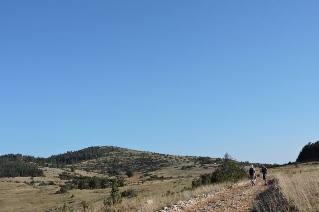
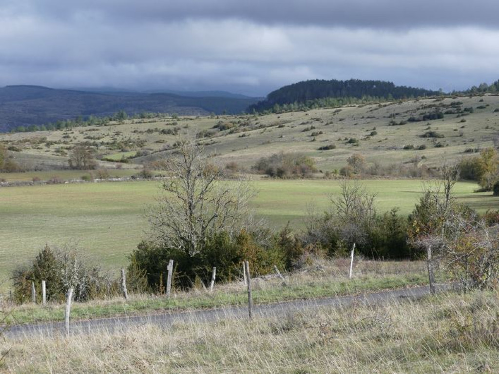
A Causse atmosphere between dolines and sheep pasture, alternating with wooded areas. The highpoint of this walk is to climb Le Puech d’Alluech, a volcanic peak with 360° views.
The characteristics of the route.

À 1 km de Mas St-Chély (48)
- Distance 12.8 km
- Elevation gain 360 m
- Elevation lost 360 m
- Min. elevation 972 m
- Max. elevation. 1142 m
- Duration (depending on pace) 4h15
- Suivre le balisage Yes

From the car park, take the track and, at the intersection, turn right. Your hike starts on the Causse Méjean circuit (yellow and red waymarks). Follow this path through the rolling countryside part to the foot of Puech d’Alluech.
Parking : 1 km from Mas St-Chély on the road to Prunets/Chaldas: departure panel on the left at the intersection of the tracks.
- Just before you get to the road, take the track on the left that goes uphill to the top of Puech d’Alluech (there-and-back 2.6 km). On your return, take the road on the left for 150 m, then take the track on the left that cuts across and joins the road, to the hamlet of Chamblon.
- In Chamblon, pass below the sheepfold, go uphill towards the house, continue straight ahead to cut across the road and take the path opposite that joins the road to Prunets.
- In Prunets, leave the GR®60 trail that veers off to the right, and instead take the track on the left that passes below the houses. The track climbs; at the top, leave it on the right to go back down towards the trees. You are walking around the Puech.
- At the crossroads, continue straight ahead and, as you arrive in the hamlet of Cabrières, walk around it on the left instead, alongside a large basin.
- After the hamlet of Cabrières, take the road that goes uphill on the left for 700 m.
- At the crossroads, take the track that runs alongside the telephone cable to return to your starting-point.
Parking : 1 km from Mas St-Chély on the road to Prunets/Chaldas: departure panel on the left at the intersection of the tracks.
Area : Causses et Gorges
Report a problem
Pdf file THIS ROUTE IN YOUR MOBILE PHONE
Download Lozère Outdoor app
Get all the routes on your smartphone with the Lozère outdoor app. You'll find all outdoor activities (summer and winter seasons) and a host of functions :
- Take advantage of detailed IGN maps
- Download data for consultation even when you're not connected to the network
- Geolocate yourself at any time on the route and altimeter profile
- Activate the off-track alarm to be alerted if you stray from the itinerary
- Share your experience (add a report, share your lap time)...

Add your time and share your feelings


Follow us on
the digital trails
the digital trails


![]()
The Lozère Outdoor application was created
by the Lozère Department
Infos & contacts
Conseil départemental de la Lozère
sportsnature@lozere.fr
+33(0)4 66 49 66 32
Crédits photos
 Lozère Outdoor - Parcours - Puech d'Alluech
Hello, world! This is a toast message.
Lozère Outdoor - Parcours - Puech d'Alluech
Hello, world! This is a toast message.
Lozère Outdoor - Parcours - Puech d'Alluech
Hello, world! This is a toast message.


OK
Annuler