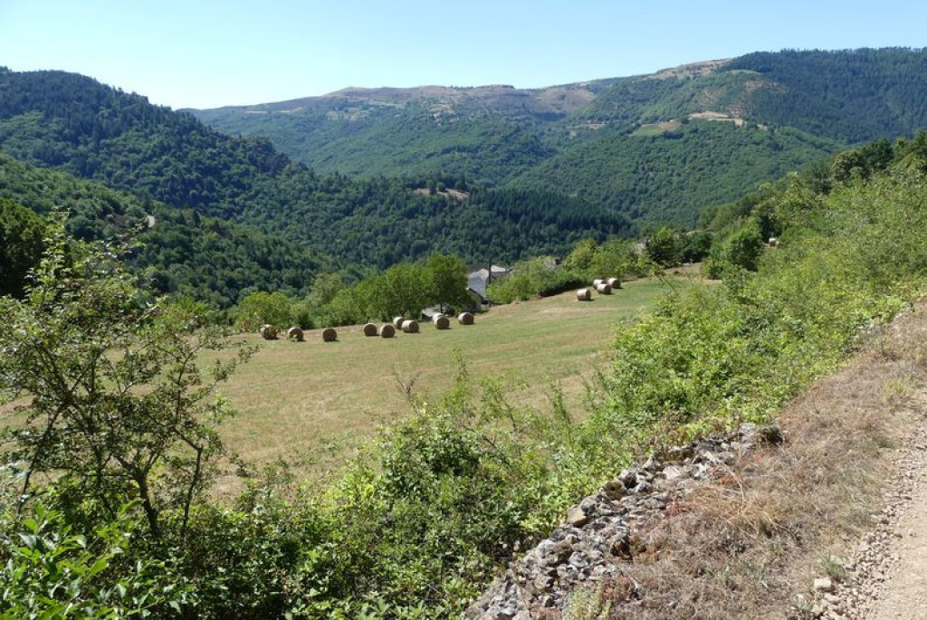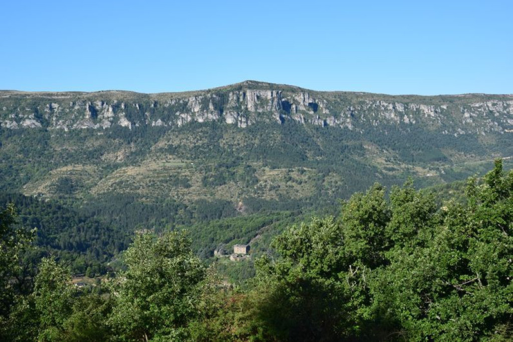
After an uphill section in a former chestnut grove, you have panoramic views over the Mimente valley, the Can de l’Hospitalet and the edge of the Causse Méjean with the Rocher de Roquefort cliffs towering over Florac.

- Distance 4.5 km
- Elevation gain 230 m
- Elevation lost 230 m
- Min. elevation 560 m
- Max. elevation. 764 m
- Duration (depending on pace) 1h30
- Suivre le balisage Yes

The walk starts from the car park at the town hall (mairie) in La Salle Prunet. Use the pedestrian crossing to cross the main road (N106), then go under the former railway bridge. Go up the concrete ramp and fork left. The path is briefly tarred and goes downhill for a few metres. Just after the stone house, the path goes uphill between houses on the right. The path comes out at the bottom of a field that you cross (50 m) to reach a larger path. Turn right onto this, towards La Valette. Continue on the main path through the chestnut grove and oak forest. At the crossing, continue straight ahead for the hamlet of La Valette, then return the way you came. Take the path that goes downhill on the left through the chestnut grove (electric fence – please close after yourself), then take the road on the right. After the hairpin bend, continue for 50 m to reach a path on the right, just above a house. Take the road to the last hairpin bend before the N106 main road, then turn right onto the old railway track to reach the village. Cross the bridge, continue for another 50 m and turn right to retrace your steps to the car park.
Parking : On the village square in La Salle Prunet
Get all the routes on your smartphone with the Lozère outdoor app. You'll find all outdoor activities (summer and winter seasons) and a host of functions :
- Take advantage of detailed IGN maps
- Download data for consultation even when you're not connected to the network
- Geolocate yourself at any time on the route and altimeter profile
- Activate the off-track alarm to be alerted if you stray from the itinerary
- Share your experience (add a report, share your lap time)...




the digital trails


The Lozère Outdoor application was created
by the Lozère Department
Infos & contacts
Conseil départemental de la Lozère
sportsnature@lozere.fr
+33(0)4 66 49 66 32
Crédits photos
 Lozère Outdoor - Parcours - Prunet
Lozère Outdoor - Parcours - Prunet
Lozère Outdoor - Parcours - Prunet
Lozère Outdoor - Parcours - Prunet
Lozère Outdoor - Parcours - Prunet