
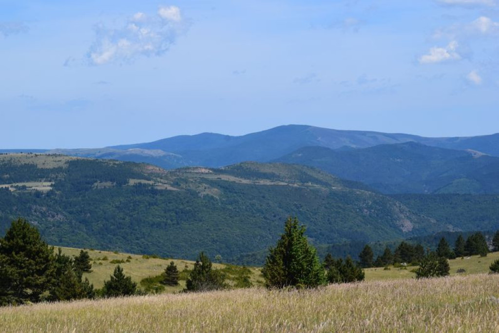
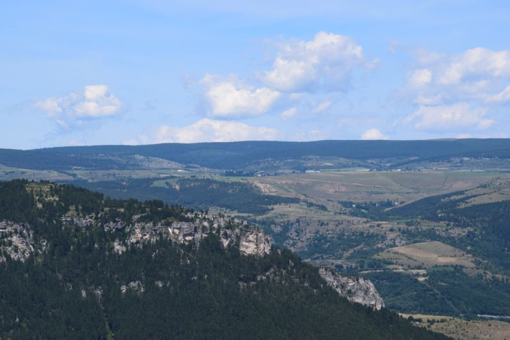
The downhill section gives you panoramic views over the valley of Ispagnac and Quézac. The climb among the pine trees takes you into wooded countryside favoured by many birds and grazed by local flocks of sheep.
A mosaic of valley and plateau, and forest and pastureland for your enjoyment !

- Distance 10.44 km
- Elevation gain 390 m
- Elevation lost 390 m
- Min. elevation 692 m
- Max. elevation. 1024 m
- Duration (depending on pace) 3h30
- Suivre le balisage Yes

From the car park, walk downhill on the road for 150 m, then turn left to follow the left bank of the overgrown dry riverbed. At first, the path is sunk between boxwood hedges and low walls, then it rises slightly and crosses to the right bank of the gully (section shared with the GRP Tour du Sauveterre trail). It gradually goes down into the Ispagnac valley. At mid-slope, at a crossroads, take the path that goes back up to the plateau and the hamlet of Mas André. The path climbs gradually to reach a forestry track, onto which you turn right for 70 m. Then take the path on the left that goes uphill to Mas André. Turn left onto the tarred road, then take the old track (a small draille or drovers’ road to the left of the road) to Mas André. At Mas André, turn right, then right again at the ruins. Go uphill on the large path and fork right at the crest towards the pine plantation. The path goes over a plain with cultivated parcels of land and then heath. You reach a track at the foot of Mont Chabrié (the hill on the right). Fork left, take the track for about 400 m and take the path on the right. This former path where the rock goes down to the hamlet of Paros. The path comes out in the centre of the hamlet between the ferradou (ox-shoeing stocks) and the bread oven. Continue downhill. At the iron cross, take the path on the right to reach the road. Turn left to get back to the car park.
Parking : Before the hamlet of Paros, by the small bridge.
Get all the routes on your smartphone with the Lozère outdoor app. You'll find all outdoor activities (summer and winter seasons) and a host of functions :
- Take advantage of detailed IGN maps
- Download data for consultation even when you're not connected to the network
- Geolocate yourself at any time on the route and altimeter profile
- Activate the off-track alarm to be alerted if you stray from the itinerary
- Share your experience (add a report, share your lap time)...


the digital trails


![]()
The Lozère Outdoor application was created
by the Lozère Department
Infos & contacts
Conseil départemental de la Lozère
sportsnature@lozere.fr
+33(0)4 66 49 66 32
Crédits photos
 Lozère Outdoor - Parcours - Paros
Lozère Outdoor - Parcours - Paros
Lozère Outdoor - Parcours - Paros
Lozère Outdoor - Parcours - Paros
Lozère Outdoor - Parcours - Paros

