
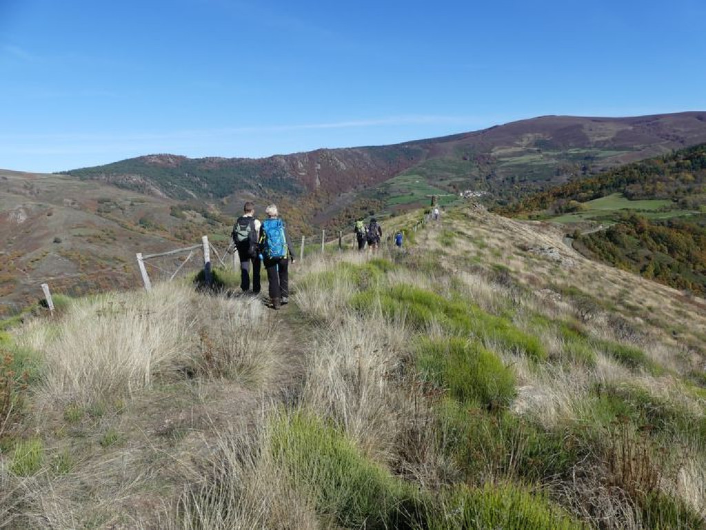
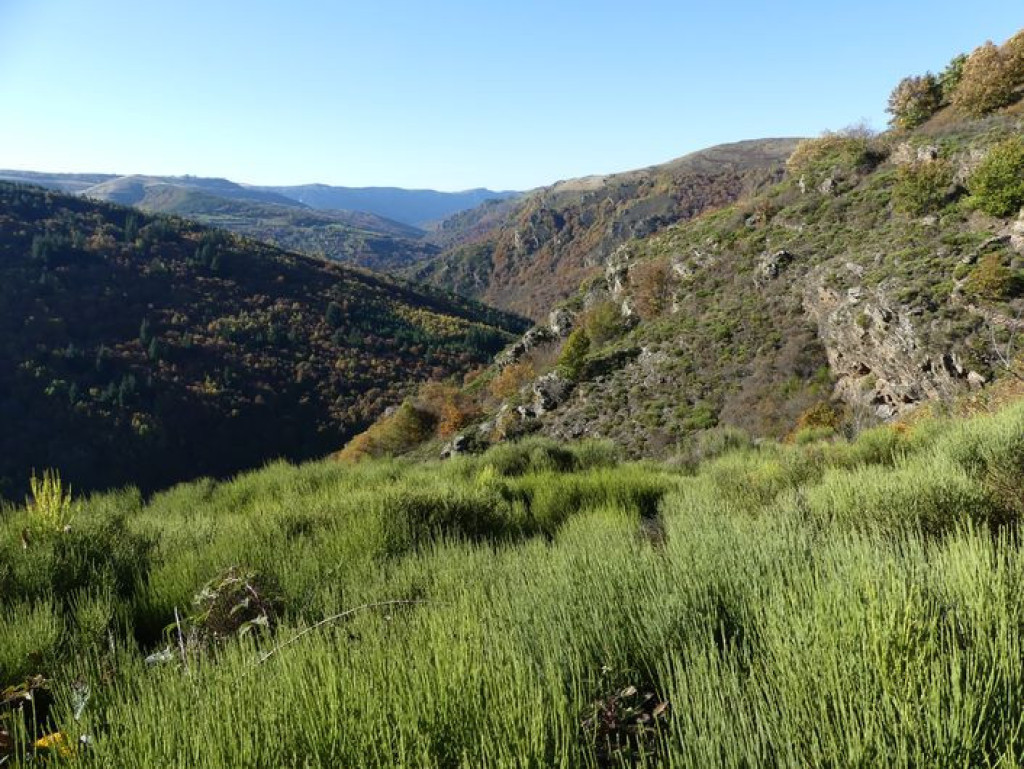
After a beautiful climb onto the ridges of the Serre de Rébiouse, hikers are rewarded with a superb view onto the heather slopes of the Bougès massif. Then the path zigzags back downhill into the chestnut grove with its many clèdes (buildings for drying chestnuts) and terraced cropland.
This is a journey back through time, past the ruins of the Château de Saint-Julien-d'Arpaon, the two menhirs lying nearby, and the disused railway track...

- Distance 9.24 km
- Elevation gain 420 m
- Elevation lost 420 m
- Min. elevation 611 m
- Max. elevation. 979 m
- Duration (depending on pace) 3h45
- Suivre le balisage Yes

From the carpark below the temple (Protestant church), take the path uphill towards the temple, then follow the road to the top of the village. Take the path that runs alongside the Château and go uphill for about 700 m until you reach a lane. Cross it, fork left and go uphill through the heather to the highest point, which is on the western side. Follow the ridge eastwards to the Col de l'Agulharon. Then fork left. Take the lane to Bougès hamlet. As you leave the hamlet, take a downhill path, then a path on the left that runs across the slope, before returning downhill in many hairpin bends to the railway track. Turn right on this track to get back to Saint-Julien-d'Arpaon.
Parking : Below Saint-Julien-d'Arpaon temple
Get all the routes on your smartphone with the Lozère outdoor app. You'll find all outdoor activities (summer and winter seasons) and a host of functions :
- Take advantage of detailed IGN maps
- Download data for consultation even when you're not connected to the network
- Geolocate yourself at any time on the route and altimeter profile
- Activate the off-track alarm to be alerted if you stray from the itinerary
- Share your experience (add a report, share your lap time)...


the digital trails


![]()
The Lozère Outdoor application was created
by the Lozère Department
Infos & contacts
Conseil départemental de la Lozère
sportsnature@lozere.fr
+33(0)4 66 49 66 32
Crédits photos
 Lozère Outdoor - Parcours - The Moulin de Bougès
Lozère Outdoor - Parcours - The Moulin de Bougès
Lozère Outdoor - Parcours - The Moulin de Bougès
Lozère Outdoor - Parcours - The Moulin de Bougès
Lozère Outdoor - Parcours - The Moulin de Bougès

