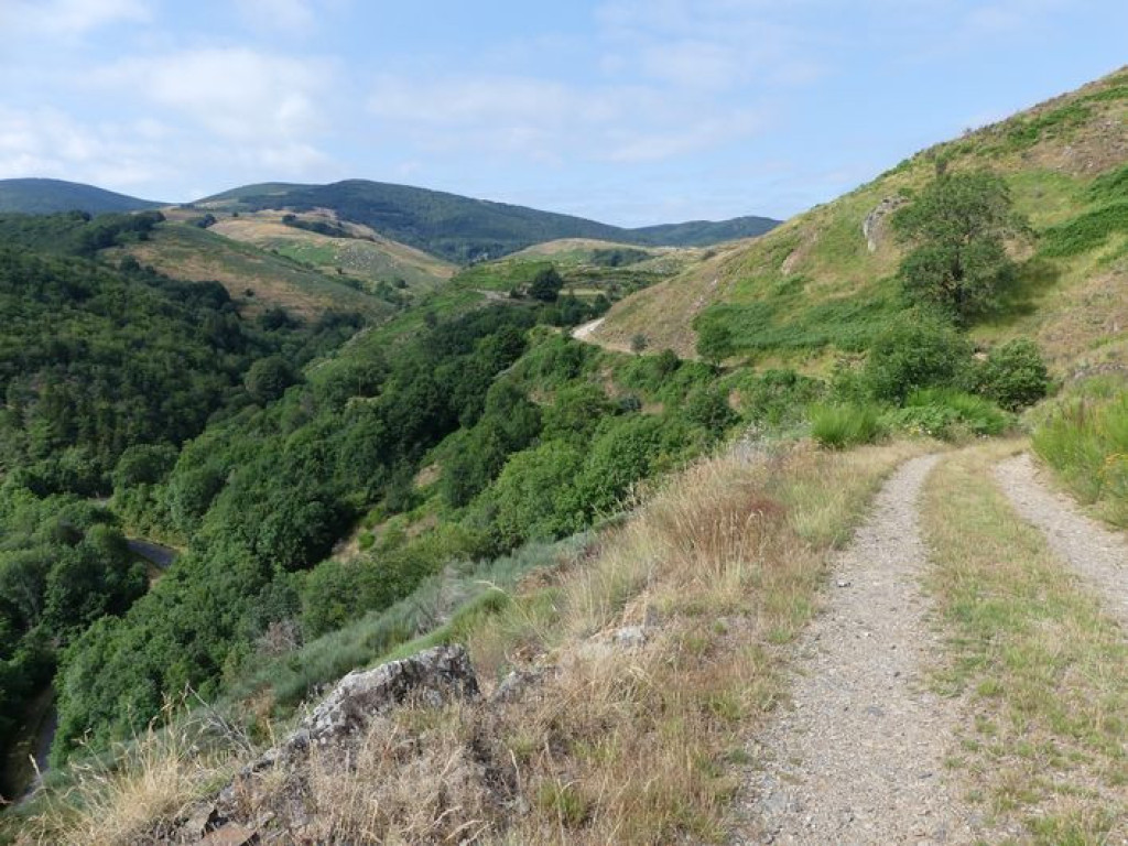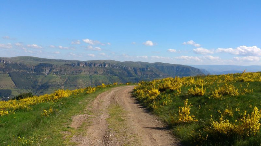
A forest and ridge walk offering beautiful views over the Tapoul gorges, the Causse Méjean, Mont Lozère and Cévennes.
This is an incredibly varied trail – through beech forests, along a ridge with views onto the cliffs of the Causse Méjean, through a hundred-year-old chestnut grove and past unexpectedly handsome isolated hamlets – which ends in riverside meadows.
- Distance 15.83 km
- Elevation gain 600 m
- Elevation lost 600 m
- Min. elevation 720 m
- Max. elevation. 1167 m
- Duration (depending on pace) 5h
- Suivre le balisage Yes

From the carpark, head towards Massevaques/Mont Aigoual. After the campsite, take the second track on the right (paved with concrete at first). This is the trail starting-point.
1) At the first intersection, continue straight. Follow signs for the Col des Portes.
2) At the Col (pass), take the left-hand track.
3) At the next crossroads, turn right and immediately left and continue to Massevaques. Turn right onto the road, then turn onto the small concrete lane which goes up into the hamlet and joins the D 11.
4) Take the road for a few metres, then fork right onto a footpath towards Le Pré de Thérond.
5) The path comes out into a field. Continue straight ahead to join the track and turn right onto it (further on, ignore the track on the right). As you leave the forest, continue straight ahead along the ridge of the Serre de Combe- Calde. Follow the main track, which goes downhill.
6) At the Col de Peyrerol, go downhill on the right towards Montcamp. Follow the road for 2 km.
7) then take the first path on the right which leads uphill into the chestnut grove to reach Les Ablatats.
8) In the hamlet, coninue on the small lane, which joins up with the road. Take a path on the left that goes downhill to the river.
9) After the river, follow the meadow to end up on a forestry track, onto which you turn left. At the first intersection, continue straight alongside the river. At the second, go uphill on the right to get back onto your originl outbound track.
Parking : Above the inn (Auberge)
Get all the routes on your smartphone with the Lozère outdoor app. You'll find all outdoor activities (summer and winter seasons) and a host of functions :
- Take advantage of detailed IGN maps
- Download data for consultation even when you're not connected to the network
- Geolocate yourself at any time on the route and altimeter profile
- Activate the off-track alarm to be alerted if you stray from the itinerary
- Share your experience (add a report, share your lap time)...




the digital trails


The Lozère Outdoor application was created
by the Lozère Department
Infos & contacts
Conseil départemental de la Lozère
sportsnature@lozere.fr
+33(0)4 66 49 66 32
Crédits photos
 Lozère Outdoor - Parcours - Massevaques
Lozère Outdoor - Parcours - Massevaques
Lozère Outdoor - Parcours - Massevaques
Lozère Outdoor - Parcours - Massevaques
Lozère Outdoor - Parcours - Massevaques