
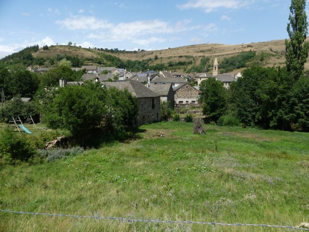
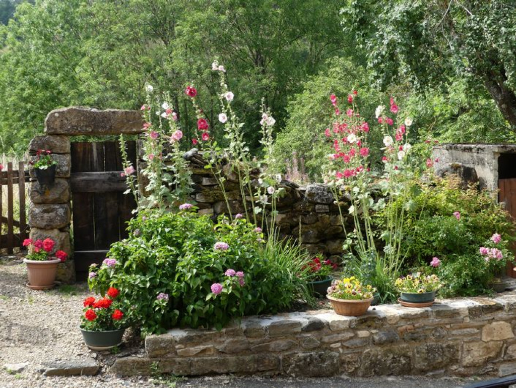
A pretty exploration of the Rieutord valley, using old paths passing from limestone to schist bedrock, with handsome views onto the neighbouring plateaux.

- Distance 7.85 km
- Elevation gain 300 m
- Elevation lost 300 m
- Min. elevation 989 m
- Max. elevation. 1255 m
- Duration (depending on pace) 2h30
- Suivre le balisage Yes

Signposts will guide you all along this route, as well as yellow painted waymarks. In the description below, the signposted place names and/or directions are given in “bold italics between quotation marks”:
Starting at “Cubières”, walk to “Col Santel” via:
- “Le Réservoir”,
- “Lozeret”,
- “Le bois de Neyrac”,
- Au “Col Santel”, return to “Cubières” on the GR®44/68 via:
- "Réservoir".
This hike is taken from the guidebook Mont Lozère – Pays des sources, de la montagne du Goulet aux gorges du Bramont, published by the Pôle de pleine nature du Mont Lozère.
Parking : As you leave Cubières towards Lozeret
Get all the routes on your smartphone with the Lozère outdoor app. You'll find all outdoor activities (summer and winter seasons) and a host of functions :
- Take advantage of detailed IGN maps
- Download data for consultation even when you're not connected to the network
- Geolocate yourself at any time on the route and altimeter profile
- Activate the off-track alarm to be alerted if you stray from the itinerary
- Share your experience (add a report, share your lap time)...


the digital trails


![]()
The Lozère Outdoor application was created
by the Lozère Department
Infos & contacts
Conseil départemental de la Lozère
sportsnature@lozere.fr
+33(0)4 66 49 66 32
Crédits photos
 Lozère Outdoor - Parcours - Lozeret
Lozère Outdoor - Parcours - Lozeret
Lozère Outdoor - Parcours - Lozeret
Lozère Outdoor - Parcours - Lozeret
Lozère Outdoor - Parcours - Lozeret

