Le Viala - Racoules
Add to my favorites

Route opened
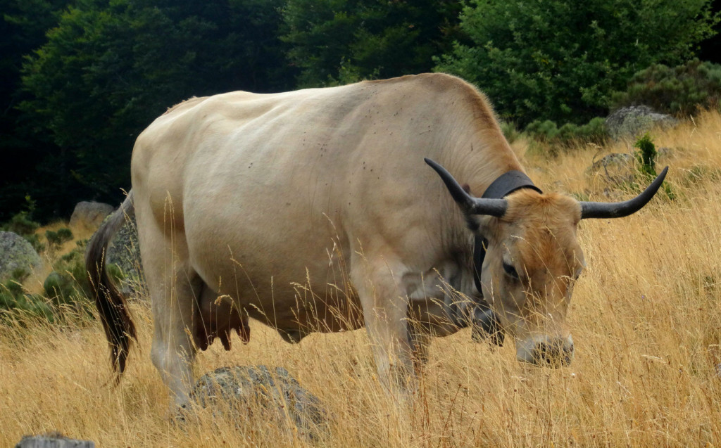
Partez à la découverte de l'agriculture d'hier et d'aujourd'hui, entre vaches Aubrac, fermes vivantes et éléments patrimoniaux...
Discover farming past and present: Aubrac cattle, working farms and heritage elements…
The characteristics of the route.

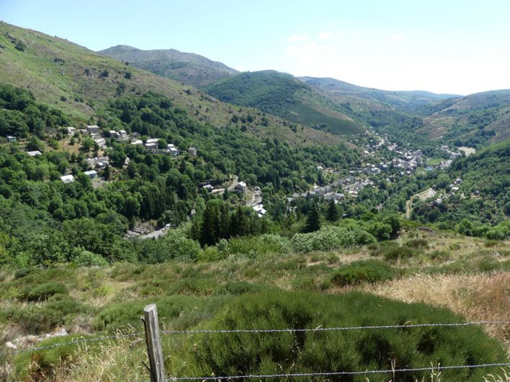
Pont de Montvert Sud Mont Lozère (48)
- Distance 8.56 km
- Elevation gain 360 m
- Elevation lost 360 m
- Min. elevation 872 m
- Max. elevation. 1126 m
- Duration (depending on pace) 3h
- Suivre le balisage Yes

Signposts will guide you all along this route, as well as yellow painted waymarks. In the description below, the signposted place names and/or directions are given in bold italics between quotation marks:
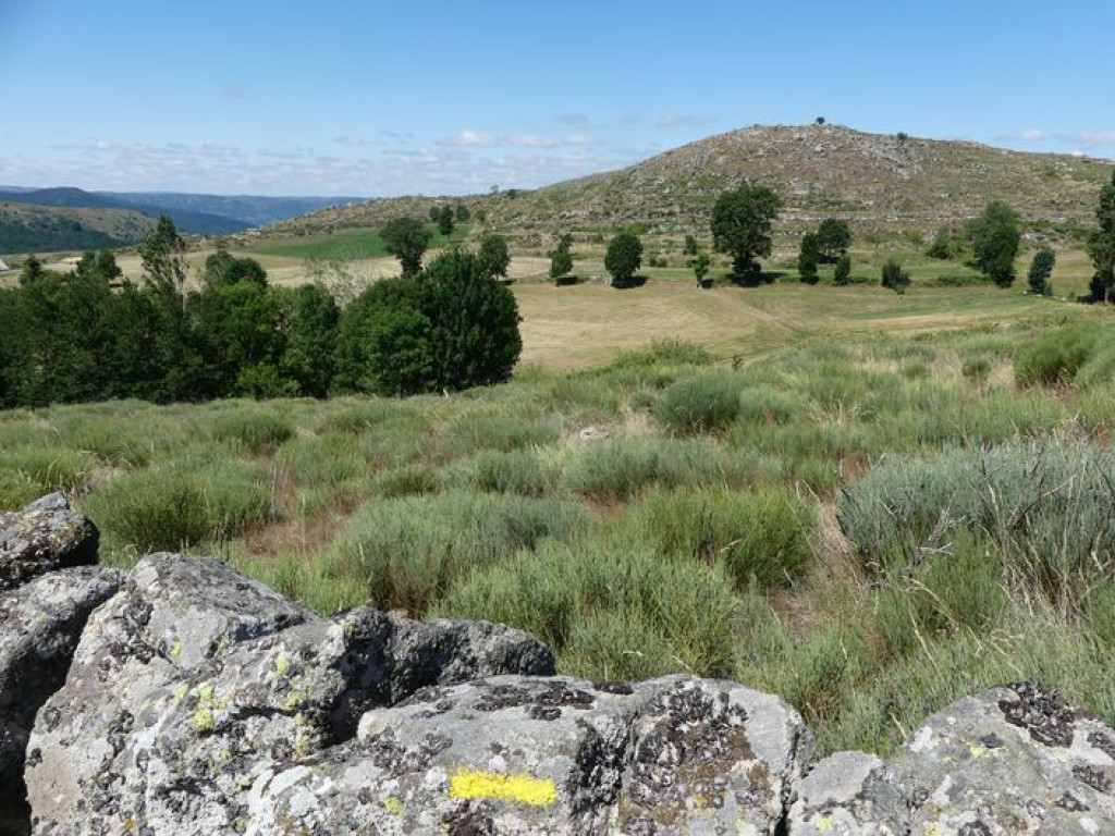
From “Pont de Montvert”, make for “Le Temple”, then “Place de l'Horloge”, “La Destourbe”, “Le Viala”. At “Le Viala” walk towards “Racoules” and cross the village to loop back to “Le Viala”. Then return to “Pont de Montvert” using the same route, “La Destourbe”, “Place de l'Horloge”, “Le Temple”.
This hike is taken from the guidebook Mont Lozère - Pays des sources, published by the Pôle de pleine nature du Mont Lozère.
Parking : Car park by the protestant church
Area : Cévennes et Mont Lozère
Report a problem
Pdf file THIS ROUTE IN YOUR MOBILE PHONE
Download Lozère Outdoor app
Get all the routes on your smartphone with the Lozère outdoor app. You'll find all outdoor activities (summer and winter seasons) and a host of functions :
- Take advantage of detailed IGN maps
- Download data for consultation even when you're not connected to the network
- Geolocate yourself at any time on the route and altimeter profile
- Activate the off-track alarm to be alerted if you stray from the itinerary
- Share your experience (add a report, share your lap time)...

Add your time and share your feelings


Follow us on
the digital trails
the digital trails


![]()
The Lozère Outdoor application was created
by the Lozère Department
Infos & contacts
Conseil départemental de la Lozère
sportsnature@lozere.fr
+33(0)4 66 49 66 32
Crédits photos
 Lozère Outdoor - Parcours - Le Viala - Racoules
Hello, world! This is a toast message.
Lozère Outdoor - Parcours - Le Viala - Racoules
Hello, world! This is a toast message.
Lozère Outdoor - Parcours - Le Viala - Racoules
Hello, world! This is a toast message.


OK
Annuler