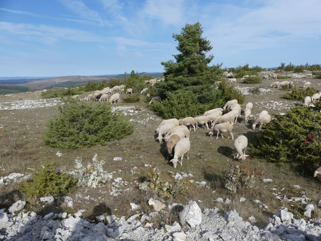
This walk at the limit between wooded Causse and bare Causse has panoramic views over the limestone plateau.
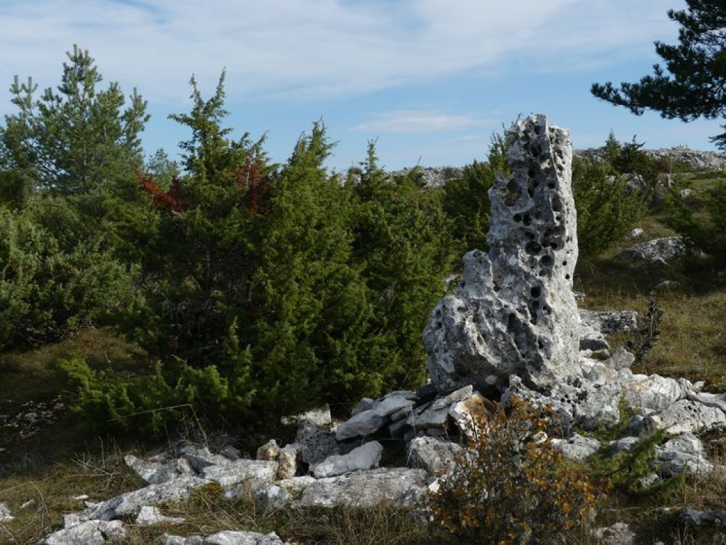
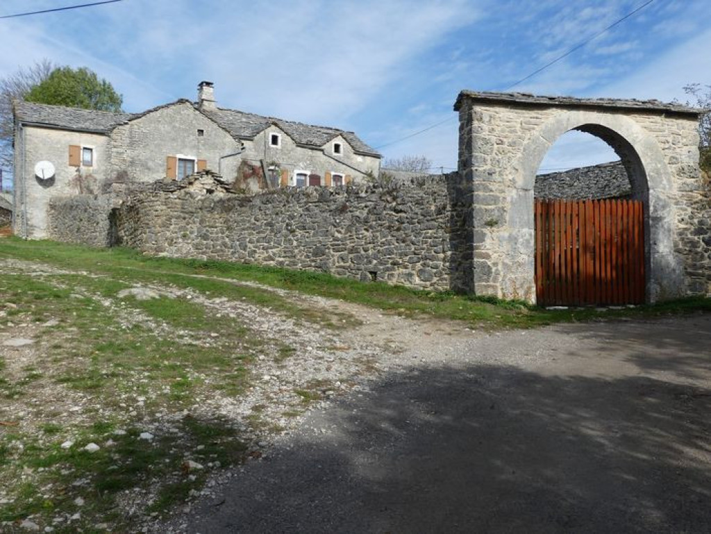
This ancestral track is partly on a draille (drovers’ road); the built heritage showcases history from the Neolithic to today: a protohistoric enclosure, jasses (overnight pens for livestock), lavognes (man-made watering-holes for livestock), a cross… there is also a strong presence of farming, which maintains the environment.

- Distance 10.58 km
- Elevation gain 280 m
- Elevation lost 280 m
- Min. elevation 934 m
- Max. elevation. 1103 m
- Duration (depending on pace) 3h
- Suivre le balisage Yes

From the parking area, take the road to reach the hamlet of Drigas.
- Turn left and go straight up into the hamlet. As you leave the hamlet, continue straight ahead on the track that goes gently uphill to a gate.
- At this little pass, take a path to the right that leads to the protohistoric enclosure (you will need to retrace your steps to return).
- Back at the pass, take the path opposite, which goes very slightly downhill towards Le Buffre.
- As you leave the woods and the field, turn right onto the track to the hamlet of Le Buffre. Then turn right and, when you reach the road, cross it, walking straight ahead to the cross.
- At the cross, leave the road and continue straight ahead on the track (draille). Pass the watering-hole on its left.
- 100 m after the watering-hole, the path moves up the slope of the hill on the right and goes back downhill to Hures.
- Go through the fence and take the track on the right uphill to the quarry, cross the quarry and continue straight ahead on the track to return to Drigas.
Parking : Park just before you enter Drigas, on the western side
Get all the routes on your smartphone with the Lozère outdoor app. You'll find all outdoor activities (summer and winter seasons) and a host of functions :
- Take advantage of detailed IGN maps
- Download data for consultation even when you're not connected to the network
- Geolocate yourself at any time on the route and altimeter profile
- Activate the off-track alarm to be alerted if you stray from the itinerary
- Share your experience (add a report, share your lap time)...




the digital trails


The Lozère Outdoor application was created
by the Lozère Department
Infos & contacts
Conseil départemental de la Lozère
sportsnature@lozere.fr
+33(0)4 66 49 66 32
Crédits photos
 Lozère Outdoor - Parcours - The three hamlets
Lozère Outdoor - Parcours - The three hamlets
Lozère Outdoor - Parcours - The three hamlets
Lozère Outdoor - Parcours - The three hamlets
Lozère Outdoor - Parcours - The three hamlets