The two bridges
Add to my favorites

Route opened
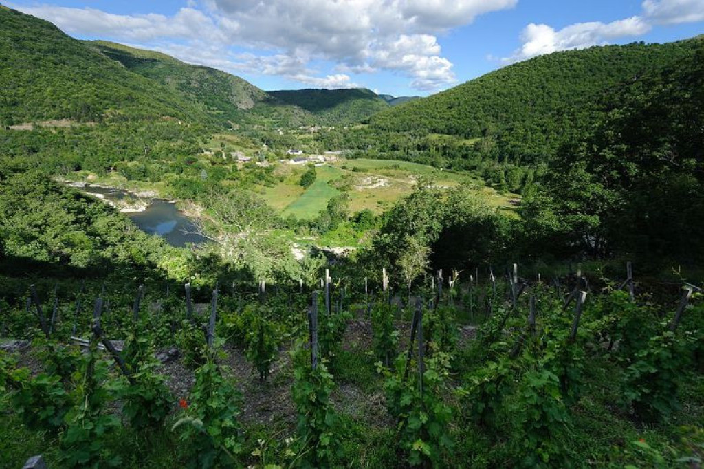
This walk through the gateway to the Tarn gorge takes you through a vast chestnut orchard from the mediaeval bridge of Ispagnac to the prestigious pointed-arch bridge of Quézac.
The characteristics of the route.

Parking face à la pharmacie, direction Florac (48)
- Distance 7.16 km
- Elevation gain 280 m
- Elevation lost 280 m
- Min. elevation 500 m
- Max. elevation. 751 m
- Duration (depending on pace) 2h30
- Suivre le balisage Yes

Leave the car park by turning left onto the main road.
1) Turn right to reach Ispagnac bridge. Cross it and continue on the tarred road to the hamlet of Bieissette.
2) Just before the hamlet’s first houses, take the path on the right by the signpost for Bieisses, and continue straight ahead to the barrier marked “Attention vaches, chevaux, refermer la clôture” (Caution: cows, horses. Close the barrier behind you). The path is wide and goes uphill to a track.
3) Turn right onto the track and go through the pine plantation. At the pass, go through a gate (be sure to close it behind you).
4) After the barrier, leave the track and take a small path (waymarked white and red), which can be muddy at times, to a junction with the tarred road.
5) At the road, turn right and 200 m further take the path on the right again, which overlooks the Tarn, to Quézac bridge.
6) Cross Quézac bridge and turn right onto the path that runs alongside the Tarn back to Ispagnac.
7) After the campsites, by the large stone cross, take the paved lane on your right, which will take you back to the square in front of the town hall (mairie). Continue straight ahead on Rue de la Ville to the little square (Placette), then walk up the lane on the left. That takes you back to the main road and your starting-point.
Parking : Car park opposite the pharmacy
Area : Causses et Gorges
Report a problem
Pdf file THIS ROUTE IN YOUR MOBILE PHONE
Download Lozère Outdoor app
Get all the routes on your smartphone with the Lozère outdoor app. You'll find all outdoor activities (summer and winter seasons) and a host of functions :
- Take advantage of detailed IGN maps
- Download data for consultation even when you're not connected to the network
- Geolocate yourself at any time on the route and altimeter profile
- Activate the off-track alarm to be alerted if you stray from the itinerary
- Share your experience (add a report, share your lap time)...

Add your time and share your feelings


Follow us on
the digital trails
the digital trails


![]()
The Lozère Outdoor application was created
by the Lozère Department
Infos & contacts
Conseil départemental de la Lozère
sportsnature@lozere.fr
+33(0)4 66 49 66 32
Crédits photos
 Lozère Outdoor - Parcours - The two bridges
Hello, world! This is a toast message.
Lozère Outdoor - Parcours - The two bridges
Hello, world! This is a toast message.
Lozère Outdoor - Parcours - The two bridges
Hello, world! This is a toast message.


OK
Annuler