
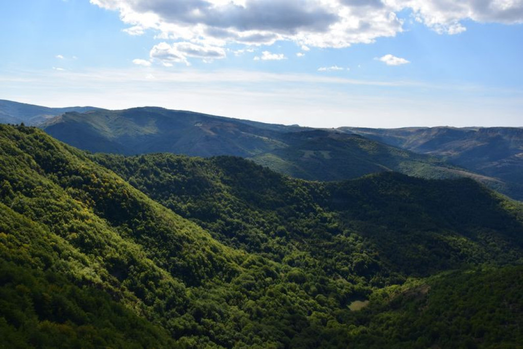
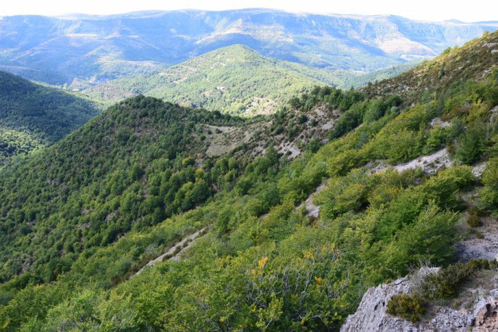
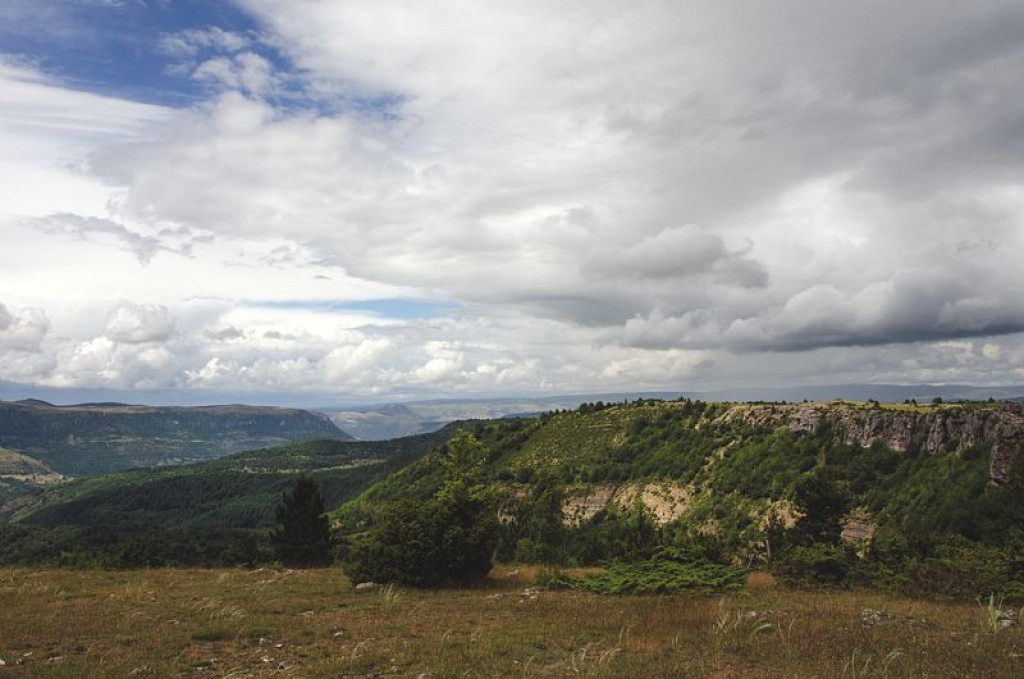
Ce sentier, idéal pour une petite promenade estivale, offre une vue remarquable sur la vallée du Tarnon et le causse Méjean…
This path is ideal for a short summer’s walk and offers remarkable views over the Tarnon valley and the Causse Méjean…

- Distance 4.34 km
- Elevation gain 230 m
- Elevation lost 230 m
- Min. elevation 865 m
- Max. elevation. 1065 m
- Duration (depending on pace) 2h
- Suivre le balisage Yes

Start from the roadside of the D 9. Take the path lined by ash trees that heads west. Once you are on the heights of the Can de l’Hospitalet, take the path on the right that goes down into the Tarnon valley. NB: The path may be difficult to see. Follow this small steep path to where it crosses the Broussous trail, and turn right towards L’Hospitalet. At the next crossing, continue straight. The path becomes rather steep for a few metres. At the next crossing, turn right to return towards L’Hospitalet.
Parking : On the former road to L’Hospitalet
Get all the routes on your smartphone with the Lozère outdoor app. You'll find all outdoor activities (summer and winter seasons) and a host of functions :
- Take advantage of detailed IGN maps
- Download data for consultation even when you're not connected to the network
- Geolocate yourself at any time on the route and altimeter profile
- Activate the off-track alarm to be alerted if you stray from the itinerary
- Share your experience (add a report, share your lap time)...


the digital trails


![]()
The Lozère Outdoor application was created
by the Lozère Department
Infos & contacts
Conseil départemental de la Lozère
sportsnature@lozere.fr
+33(0)4 66 49 66 32
Crédits photos
 Lozère Outdoor - Parcours - The corniches de l’Hospitalet
Lozère Outdoor - Parcours - The corniches de l’Hospitalet
Lozère Outdoor - Parcours - The corniches de l’Hospitalet
Lozère Outdoor - Parcours - The corniches de l’Hospitalet
Lozère Outdoor - Parcours - The corniches de l’Hospitalet

