
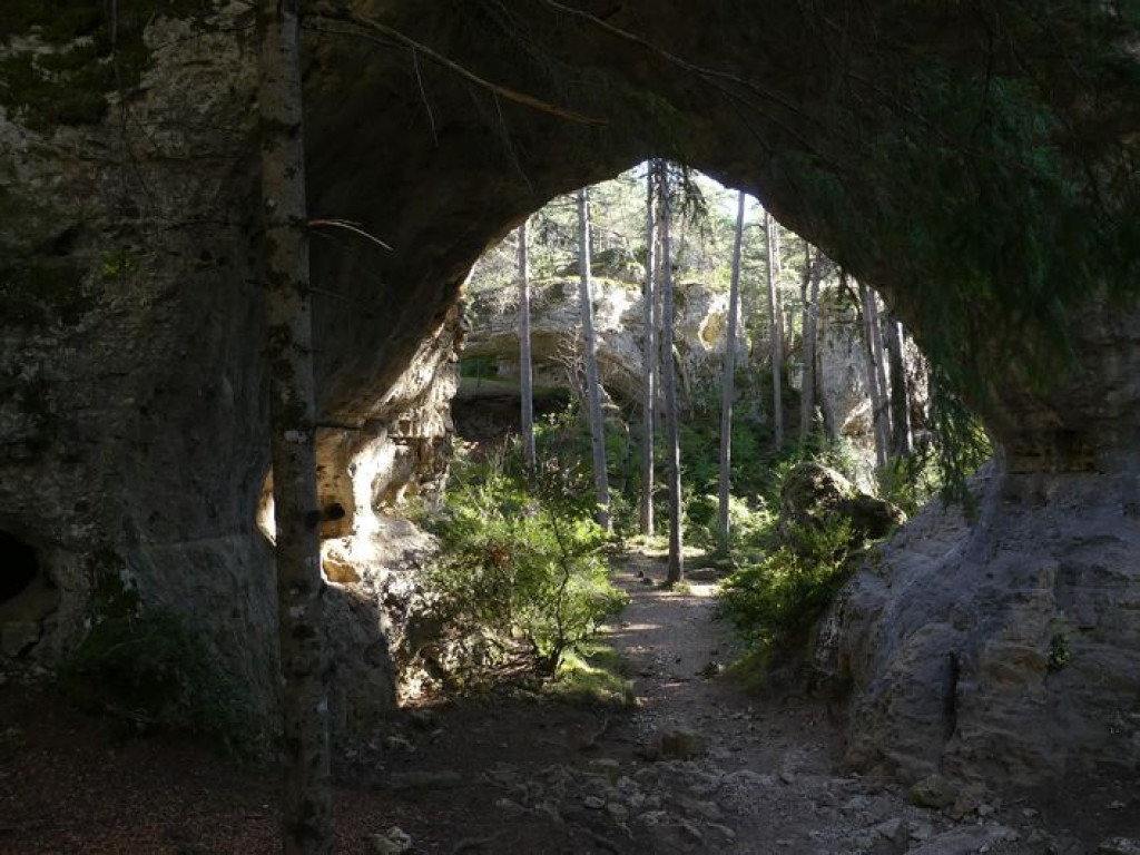
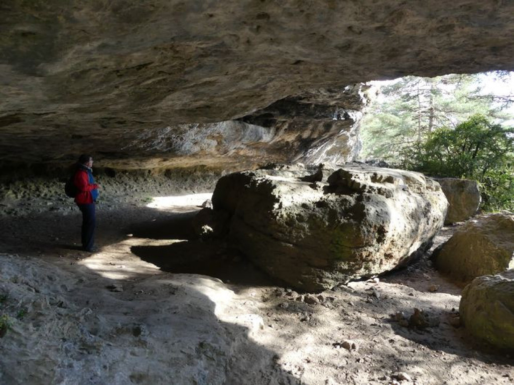
Erosion has sculpted the rock into strange shapes and opened up arches, under which are rock shelters, a large square with a hoodoo (fairy chimney) and a cave tomb, where around 3,500 BC audacious trepanning was carried out.
A very unusual site awaits in this Scots pine forest !

- Distance 5.27 km
- Elevation gain 160 m
- Elevation lost 160 m
- Min. elevation 864 m
- Max. elevation. 964 m
- Duration (depending on pace) 2h15
- Suivre le balisage Yes

From the parking area at the crossroads of the roads to La Viale and Le Truel, take the sandy path, close the gate and continue for 400 m.
- Leave the path for a small path on the right that runs alongside a fence. It follows an old track bordered by low walls.
- Turn downhill on the right, pass between two rocks and immediately take the path on the right (stepped section).
- Turn left and immediately right. The path goes uphill, including on stairs.
- Take, on your right, the steep descent. Then turn left and continue to go downhill towards the arches.
- Pass under the first arch, then under the second arch on your left. Go uphill on the path that heads to the right, then to the left, to reach Point 4. Go right to get back to Point 3.
- Turn left and go uphill to La Baumelle cave, which you cross to the left. Continue uphill until you reach the road. Head right, pass between two new houses, and turn right onto the road to return to the village of Saint-Pierre des Tripiers.
- At the crossroads, take the road on the right, towards Le Truel. After 150 m, at the cross, turn left to return to the hamlet of La Viale. In the hamlet, take the road on the right to return to your starting-point.
Parking : Parking area at the crossroads of La Viale and Le Truel roads.
Get all the routes on your smartphone with the Lozère outdoor app. You'll find all outdoor activities (summer and winter seasons) and a host of functions :
- Take advantage of detailed IGN maps
- Download data for consultation even when you're not connected to the network
- Geolocate yourself at any time on the route and altimeter profile
- Activate the off-track alarm to be alerted if you stray from the itinerary
- Share your experience (add a report, share your lap time)...


the digital trails


![]()
The Lozère Outdoor application was created
by the Lozère Department
Infos & contacts
Conseil départemental de la Lozère
sportsnature@lozere.fr
+33(0)4 66 49 66 32
Crédits photos
 Lozère Outdoor - Parcours - The arches of Saint-Pierre
Lozère Outdoor - Parcours - The arches of Saint-Pierre
Lozère Outdoor - Parcours - The arches of Saint-Pierre
Lozère Outdoor - Parcours - The arches of Saint-Pierre
Lozère Outdoor - Parcours - The arches of Saint-Pierre

