
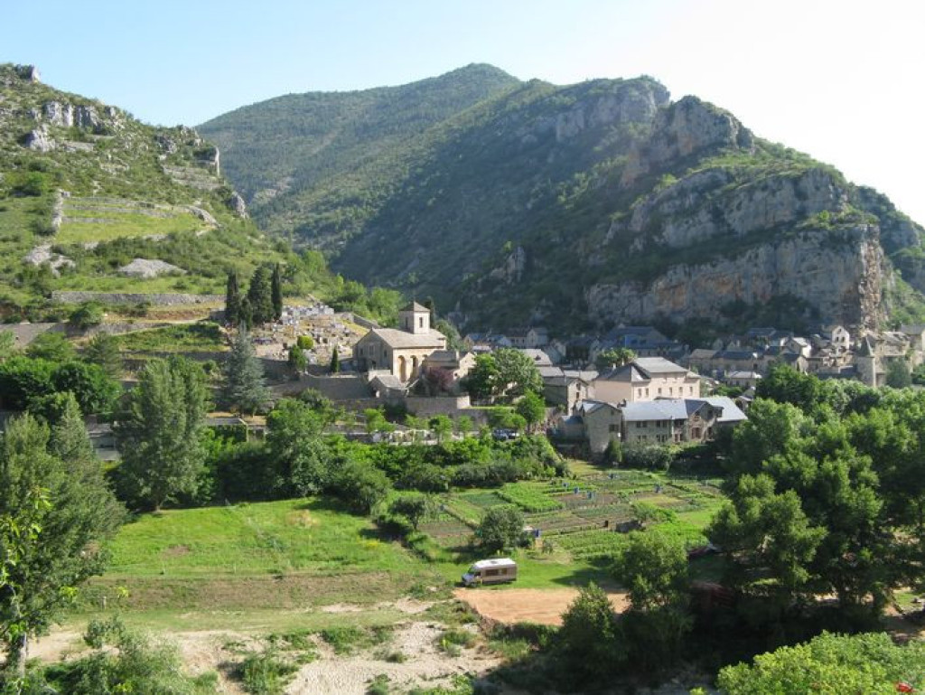
This physically challenging loop leads from the banks of the river Tarn to the Causse Méjean plateau, and offers gorgeous panoramic views onto the Tarn Gorges and the Causse de Sauveterre.

- Distance 9.76 km
- Elevation gain 540 m
- Elevation lost 540 m
- Min. elevation 438 m
- Max. elevation. 917 m
- Duration (depending on pace) 4h
- Suivre le balisage Yes

From the carpark in La Malène, cross the river Tarn and take the path on the right after the bridge. Take the first footpath on the left (after 300 m) and climb onto the Causse Méjean plateau. Go through Rieisse and, on leaving the hamlet, continue straight ahead towards the Roc des Hourtous. At the panoramic viewpoint of Les Hourtous, walk past the snack bar on its right to take a path that runs parallel to the ridge for 800 m. Then take the path downhill on the left to join up with the path overlooking the Tarn. Turn right onto it to return to the starting-point.
Parking : La Malène
Get all the routes on your smartphone with the Lozère outdoor app. You'll find all outdoor activities (summer and winter seasons) and a host of functions :
- Take advantage of detailed IGN maps
- Download data for consultation even when you're not connected to the network
- Geolocate yourself at any time on the route and altimeter profile
- Activate the off-track alarm to be alerted if you stray from the itinerary
- Share your experience (add a report, share your lap time)...


the digital trails


![]()
The Lozère Outdoor application was created
by the Lozère Department
Infos & contacts
Conseil départemental de la Lozère
sportsnature@lozere.fr
+33(0)4 66 49 66 32
Crédits photos
 Lozère Outdoor - Parcours - Roc des Hourtous
Lozère Outdoor - Parcours - Roc des Hourtous
Lozère Outdoor - Parcours - Roc des Hourtous
Lozère Outdoor - Parcours - Roc des Hourtous
Lozère Outdoor - Parcours - Roc des Hourtous

