Ravin de l'Enfer (Hell Ravine)
Add to my favorites

Route opened
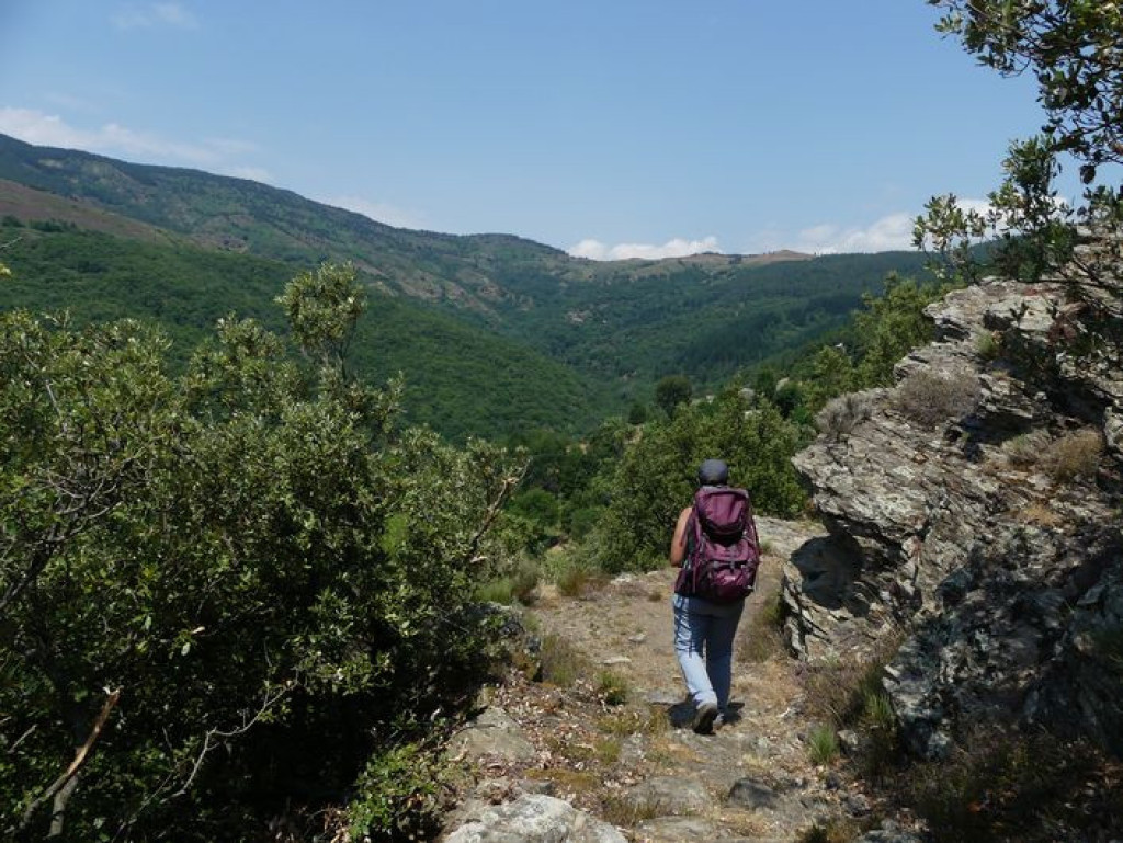
Explore two valleys in Ventalon-en-Cévennes, a village which, like others in the Cévennes, has no centre but consists of scattered hamlets instead.
Discovery of two valleys in Ventalon-en-Cévennes
The characteristics of the route.

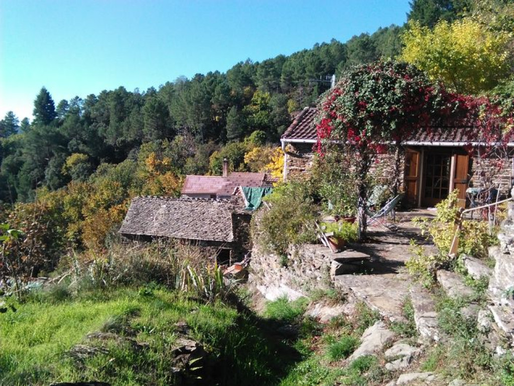
Lieu-dit « le Temple » à Ventalon en Cévennes (48)
- Distance 12.17 km
- Elevation gain 620 m
- Elevation lost 620 m
- Min. elevation 506 m
- Max. elevation. 893 m
- Duration (depending on pace) 5h
- Suivre le balisage Yes

Signposts will guide you all along this route, as well as yellow painted waymarks. In the description below, the signposted place names and/or directions are given in bold italics between quotation marks:
Starting at “Ventalon en Cévennes”, walk towards “Conches” via “St-Frézal-Le Temple”, “Le Géripon”, “Le Chambonnet”. In “Conches” head towards “Le Salson”. In “Le Salson”, faire un allée/retour au Moulin par « Salson Nord ». De retour à « Le Salson », direction « Ventalon en Cévennes » par « Le Grenier », « Le Géripon » et « St-Frézal – Le Temple ».
This hike is taken from the guidebook Mont Lozère - Pays des sources, Sommet des Cévennes, published by the Pôle de pleine nature du Mont Lozère.
Parking : At “Le Temple” in St-Frézal de Ventalon
Area : Cévennes et Mont Lozère
Report a problem
Pdf file THIS ROUTE IN YOUR MOBILE PHONE
Download Lozère Outdoor app
Get all the routes on your smartphone with the Lozère outdoor app. You'll find all outdoor activities (summer and winter seasons) and a host of functions :
- Take advantage of detailed IGN maps
- Download data for consultation even when you're not connected to the network
- Geolocate yourself at any time on the route and altimeter profile
- Activate the off-track alarm to be alerted if you stray from the itinerary
- Share your experience (add a report, share your lap time)...

Add your time and share your feelings


Follow us on
the digital trails
the digital trails


![]()
The Lozère Outdoor application was created
by the Lozère Department
Infos & contacts
Conseil départemental de la Lozère
sportsnature@lozere.fr
+33(0)4 66 49 66 32
Crédits photos
 Lozère Outdoor - Parcours - Ravin de l'Enfer (Hell Ravine)
Hello, world! This is a toast message.
Lozère Outdoor - Parcours - Ravin de l'Enfer (Hell Ravine)
Hello, world! This is a toast message.
Lozère Outdoor - Parcours - Ravin de l'Enfer (Hell Ravine)
Hello, world! This is a toast message.


OK
Annuler