Mill Trail
Add to my favorites

Route opened

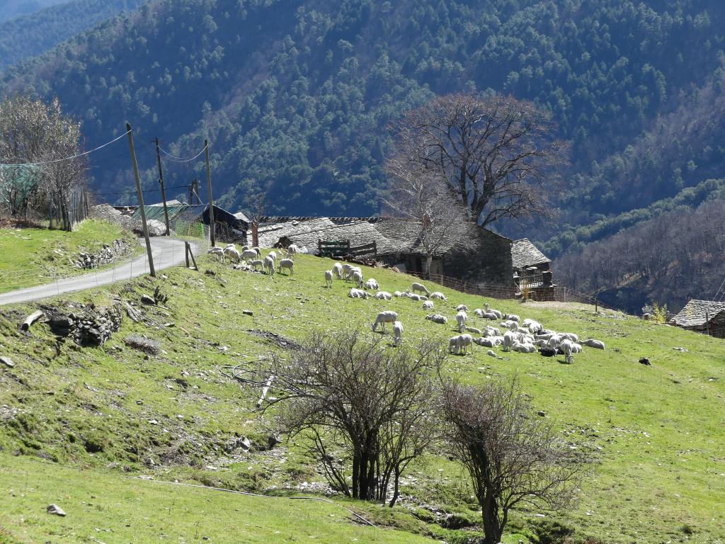
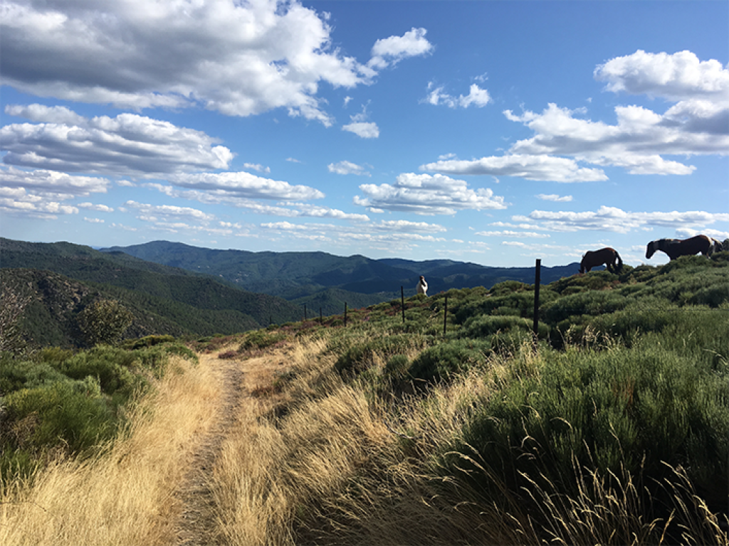
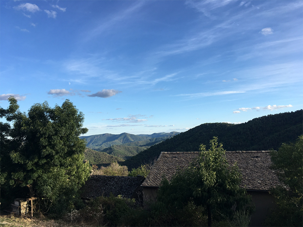
A circuit around the upper Gardon valley that explores the hamlets on the east slope of the Bougès, amidst heather and sweet chestnut trees.
The characteristics of the route.

Hameau de Vimbouches (Ventalon en Cévennes) (48)
- Distance 9.18 km
- Elevation gain 430 m
- Elevation lost 430 m
- Min. elevation 629 m
- Max. elevation. 900 m
- Duration (depending on pace) 3h
- Suivre le balisage Yes

Signposts will guide you all along this route, as well as yellow painted waymarks. In the description below, the signposted place names and/or directions are given in bold between quotation marks:
Starting at “Vimbouches”, walk towards “Draille de Vimbouches”. Continue towards “Poumeyrol” via Le Masmin and Le Tronc. At the “Poumeyrol” intersection, return to “Vimbouches” via “Le Salson-Nord”. The walk takes you right past the mill.
This hike is taken from the guidebook Mont Lozère - Pays des sources, Sommet des Cévennes, published by the Pôle de pleine nature du Mont Lozère.
Parking : As you enter Vimbouches (NB: careful not to park in private spaces).
Area : Cévennes et Mont Lozère
Report a problem
Pdf file THIS ROUTE IN YOUR MOBILE PHONE
Download Lozère Outdoor app
Get all the routes on your smartphone with the Lozère outdoor app. You'll find all outdoor activities (summer and winter seasons) and a host of functions :
- Take advantage of detailed IGN maps
- Download data for consultation even when you're not connected to the network
- Geolocate yourself at any time on the route and altimeter profile
- Activate the off-track alarm to be alerted if you stray from the itinerary
- Share your experience (add a report, share your lap time)...

Add your time and share your feelings


Follow us on
the digital trails
the digital trails


![]()
The Lozère Outdoor application was created
by the Lozère Department
Infos & contacts
Conseil départemental de la Lozère
sportsnature@lozere.fr
+33(0)4 66 49 66 32
Crédits photos
 Lozère Outdoor - Parcours - Mill Trail
Hello, world! This is a toast message.
Lozère Outdoor - Parcours - Mill Trail
Hello, world! This is a toast message.
Lozère Outdoor - Parcours - Mill Trail
Hello, world! This is a toast message.


OK
Annuler