

A long walk in the southern Cévennes on the Regordane Way, the French kingdom’s main traffic artery towards Lower Languedoc, which was at its apogee in the 13th century.
Longue balade en Cévennes méridionales qui emprunte le chemin de Régordane, le principal axe de communication du royaume vers le Bas-Languedoc qui connut son apogée au XIIIe siècle.
- Distance 14.99 km
- Elevation gain 520 m
- Elevation lost 520 m
- Min. elevation 440 m
- Max. elevation. 813 m
- Duration (depending on pace) 5h
- Suivre le balisage Yes

Signposts will guide you all along this route. In the description below, the signposted place names and/or directions are given in bold italics between quotation marks :
From “SAINT-ANDRÉ-CAPCÈZE”, walk to “Vielvic” via :
- “L'Estrade”,
- “Vielvic”. At “Vielvic”, turn left to “Nidaucel”.
- At “Nidaucel”, turn left to “Saint-André-Capcèze”.
- At “Saint-André-Capcèze”, turn right to “Le Collet” via :
- “Plo des Ayres”,
- “L'Esclayrade”,
- “Forêt de Bayard”,
- “Le Collet”. At “Le Collet” turn left to return to “SAINT-ANDRÉ-CAPCÈZE” via :
- “L'Apié”,
- “La Roche”.
This hike is taken from the guidebook Mont Lozère - Pays des sources de la Margeride au lac de Villefort en Cévennes published by the Pôle de pleine nature du Mont Lozère.
Parking : Car park at the Mairie (village hall)
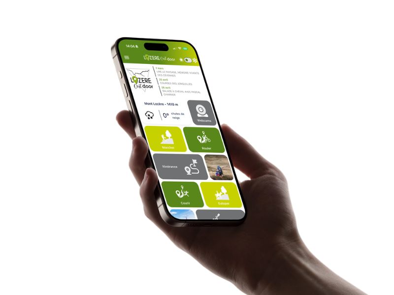
Get all the routes on your smartphone with the Lozère outdoor app. You'll find all outdoor activities (summer and winter seasons) and a host of functions :
- Take advantage of detailed IGN maps
- Download data for consultation even when you're not connected to the network
- Geolocate yourself at any time on the route and altimeter profile
- Activate the off-track alarm to be alerted if you stray from the itinerary
- Share your experience (add a report, share your lap time)...



the digital trails


The Lozère Outdoor application was created
by the Lozère Department
Infos & contacts
Conseil départemental de la Lozère
sportsnature@lozere.fr
+33(0)4 66 49 66 32
Crédits photos
 Lozère Outdoor - Parcours - La Régordane
Lozère Outdoor - Parcours - La Régordane

